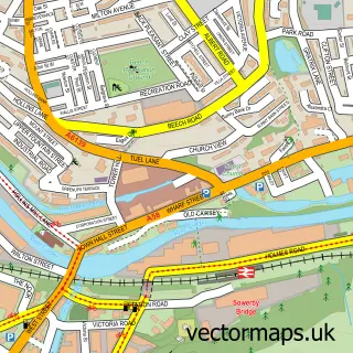
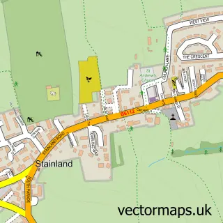
This Norland street map is a detailed vector street map covering a 750m x 750m area. Select a larger area to create and download your own vector street map of Norland.
The 750-metre map sample for Norland covers 55 mapped buildings and approximately 8.9 km of road detail, of which 10 named roads are named. The immediate area includes 1 school, 4 GP surgeries within 2 miles and 26 MOT stations within 2 miles. The wider area around Norland features 1 tourism point of interest, 1 food and drink venue and 1 campsite within 2 miles. To create a larger or custom map of Norland, the map builder lets you define your own coverage area and download editable SVG, PDF and PNG files.
Create a larger editable map of Norland
Choose any area you need and generate a high-quality vector map instantly. Perfect for print, planning, design, business and personal use.

This Norland street map in West Yorkshire is available as downloadable SVG, PDF and PNG map files, or as a printed map for planning, business, display, education, local information and design work. You can also create a larger custom map area using the map selector.
What this Norland map sample shows
Norland lies within Calderdale District (B) parish, part of Sowerby Bridge ward in the Calderdale District (B) local authority area. The postcode geography for this area includes the HX postcode area, the HX6 postcode district and the HX6 2 postcode sector. Residents fall under the Nhs West Yorkshire Integrated Care Board for NHS services.
Local features near Norland
Within 2 milesAmenities and services in and around Norland.
Administrative and postcode information for Norland
Norland lies within Calderdale District (B) parish, part of Sowerby Bridge ward in the Calderdale District (B) local authority area. The postcode geography for this area includes the HX postcode area, the HX6 postcode district and the HX6 2 postcode sector. Residents fall under the Nhs West Yorkshire Integrated Care Board for NHS services.
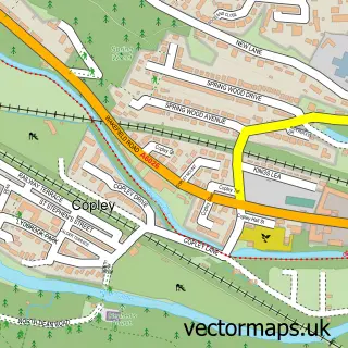
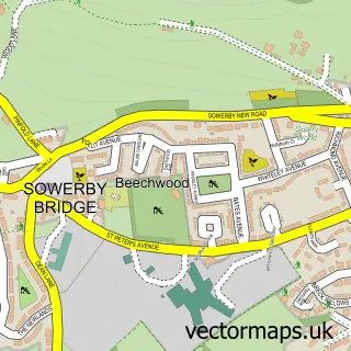
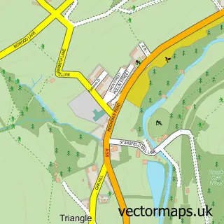
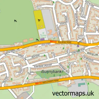
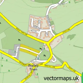
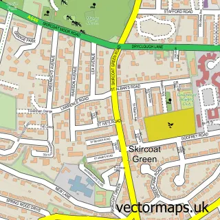
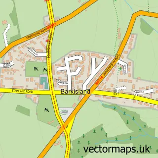
Nearby street map samples around Norland

More street maps in West Yorkshire
750 metre map area coverage
Boundary, postcode and point of interest information for the 750m x 750m rectangle centred on this sample map.
Boundaries containing map centre
Constituency: Calder Valley Co Const
District: Calderdale District (B)
Icb: NHS West Yorkshire ICB
Police Force: west yorkshire
Postcode District: HX6
Postcode Sector: HX6 3
Ward: Greetland and Stainland Ward
Nearby boundaries intersecting sample
No additional intersecting boundaries found.
Postcode coverage
POI category counts
Church Cathedral: 2
Anglican Church: 1
Appliance Manufacturer: 1
Coffee Shop: 1
Dance School: 1
Education: 1
Elementary School: 1
Landmark And Historical Building: 1
Preschool: 1
Social Service Organizations: 1
Sample points of interest
- St Luke
- Impression Marine
- ST Lukes church, Norland
- St Lukes Church
- The Hub Coffee House ltd
- Abigail Warburton Stage School
- Norland C of E Junior & Infant School
- Norland Church of England Junior and Infant School
- Norland, West Yorkshire
- Norland Pre-school
- Norland WMC
Create a larger editable map of Norland
This sample shows only a 750 metre area. To create a larger map of Norland, use our map builder to choose your own coverage area, add titles and download editable SVG, PDF and PNG files.
Create a custom map of Norland