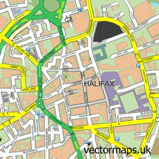
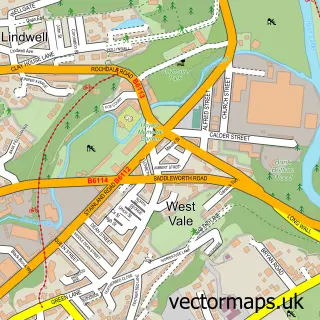
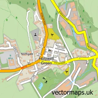
This Skircoat Green street map is a detailed vector street map covering a 750m x 750m area. Select a larger area to create and download your own vector street map of Skircoat Green.
The 750-metre map sample for Skircoat Green covers 484 mapped buildings and approximately 22.2 km of road detail, of which 49 named roads are named. The immediate area includes 1 school, 8 GP surgeries within 2 miles, 3 pubs and 1 MOT station, with 46 within 2 miles. The wider area around Skircoat Green features 7 food and drink venues and 1 campsite within 2 miles. To create a larger or custom map of Skircoat Green, the map builder lets you define your own coverage area and download editable SVG, PDF and PNG files.
Create a larger editable map of Skircoat Green
Choose any area you need and generate a high-quality vector map instantly. Perfect for print, planning, design, business and personal use.

This Skircoat Green street map in West Yorkshire is available as downloadable SVG, PDF and PNG map files, or as a printed map for planning, business, display, education, local information and design work. You can also create a larger custom map area using the map selector.
What this Skircoat Green map sample shows
Skircoat Green lies within Calderdale District (B) parish, part of Town ward in the Calderdale District (B) local authority area. The postcode geography for this area includes the HX postcode area, the HX1 postcode district and the HX1 2 postcode sector. Residents fall under the Nhs West Yorkshire Integrated Care Board for NHS services.
Local features near Skircoat Green
Within 2 milesAmenities and services in and around Skircoat Green.
Administrative and postcode information for Skircoat Green
The local authority covering Skircoat Green is Calderdale District (B), within the county of West Yorkshire. The settlement lies within Town ward and Calderdale District (B) civil parish. The HX1 postcode district and HX1 2 postcode sector serve the immediate area. NHS provision in the area is delivered through Calderdale And Huddersfield Nhs Foundation Trust.
Nearby street map samples around Skircoat Green

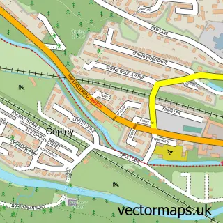
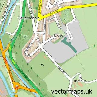
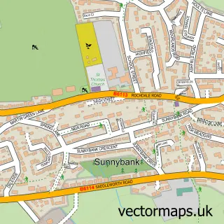
More street maps in West Yorkshire
750 metre map area coverage
Boundary, postcode and point of interest information for the 750m x 750m rectangle centred on this sample map.
Boundaries containing map centre
Constituency: Halifax Boro Const
District: Calderdale District (B)
Icb: NHS West Yorkshire ICB
Police Force: west yorkshire
Postcode District: HX3
Postcode Sector: HX3 0
Ward: Skircoat Ward
Nearby boundaries intersecting sample
No additional intersecting boundaries found.
Postcode coverage
POI category counts
Cafe: 3
Hair Salon: 3
Post Office: 3
Pub: 3
Beauty And Spa: 2
Building Supply Store: 2
Church Cathedral: 2
Convenience Store: 2
Library: 2
Public And Government Association: 2
Sample points of interest
- Teresa Plant Acupuncturist
- Totalrewind LTD
- Gallery 339
- ATM (Post Office)
- Dryclough Lane Garage
- Barber Confectioner
- Standard of Freedom
- Big Cols BBQ Ranch and Bar
- The Mazery
- Jay Byrne Salon
- ViP Brow Co.
- The Thoughtful Spot Bookshop
Create a larger editable map of Skircoat Green
This sample shows only a 750 metre area. To create a larger map of Skircoat Green, use our map builder to choose your own coverage area, add titles and download editable SVG, PDF and PNG files.
Create a custom map of Skircoat Green