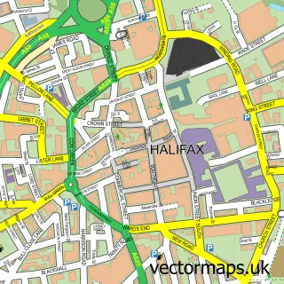
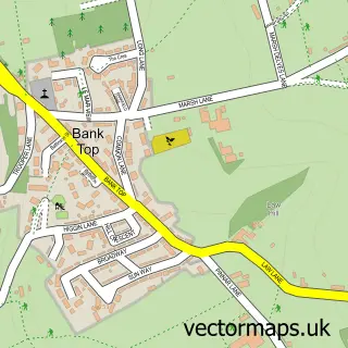
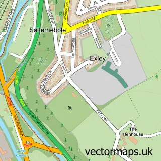
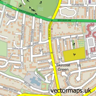
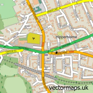
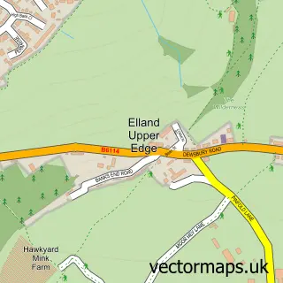
This Southowram street map is a detailed vector street map covering a 750m x 750m area. Select a larger area to create and download your own vector street map of Southowram.
The 750-metre map sample for Southowram covers 393 mapped buildings and approximately 15.9 km of road detail, of which 38 named roads are named. The immediate area includes 6 GP surgeries within 2 miles, 1 pub and 34 MOT stations within 2 miles. The wider area around Southowram features 1 food and drink venue. To create a larger or custom map of Southowram, the map builder lets you define your own coverage area and download editable SVG, PDF and PNG files.
Create a larger editable map of Southowram
Choose any area you need and generate a high-quality vector map instantly. Perfect for print, planning, design, business and personal use.

This Southowram street map in West Yorkshire is available as downloadable SVG, PDF and PNG map files, or as a printed map for planning, business, display, education, local information and design work. You can also create a larger custom map area using the map selector.
What this Southowram map sample shows
Southowram lies within Calderdale District (B) parish, part of Town ward in the Calderdale District (B) local authority area. The postcode geography for this area includes the HX postcode area, the HX3 postcode district and the HX3 9 postcode sector. Residents fall under the Nhs West Yorkshire Integrated Care Board for NHS services.
Local features near Southowram
Within 2 milesAmenities and services in and around Southowram.
Administrative and postcode information for Southowram
Southowram lies within Calderdale District (B) parish, part of Town ward in the Calderdale District (B) local authority area. The postcode geography for this area includes the HX postcode area, the HX3 postcode district and the HX3 9 postcode sector. Residents fall under the Nhs West Yorkshire Integrated Care Board for NHS services.
Nearby street map samples around Southowram

More street maps in West Yorkshire
750 metre map area coverage
Boundary, postcode and point of interest information for the 750m x 750m rectangle centred on this sample map.
Boundaries containing map centre
Constituency: Halifax Boro Const
District: Calderdale District (B)
Icb: NHS West Yorkshire ICB
Police Force: west yorkshire
Postcode District: HX3
Postcode Sector: HX3 9
Ward: Town Ward
Nearby boundaries intersecting sample
No additional intersecting boundaries found.
Postcode coverage
POI category counts
Building Supply Store: 3
Convenience Store: 3
Home Service: 3
Beauty Salon: 2
Business To Business: 2
Doctor: 2
Office Cleaning: 2
Business: 1
Cleaning Services: 1
Community Center: 1
Sample points of interest
- No.14 The Salon
- The Beauty Mill
- Butterflies
- Sunnybank Plumbing Services
- Universal Kitchen Doors
- Betterware by Richard Werra
- Marshalls plc (Marshalls Mono Ltd.)
- Marshalls plc (Marshalls Mono Ltd.) - Hall Ings
- Halifax Housemaids
- Southowram Community Centre
- Martin durkin & son building contractors
- Chatha's Wine and Food
Create a larger editable map of Southowram
This sample shows only a 750 metre area. To create a larger map of Southowram, use our map builder to choose your own coverage area, add titles and download editable SVG, PDF and PNG files.
Create a custom map of Southowram