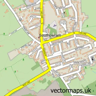
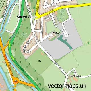
This Stump Cross street map is a detailed vector street map covering a 750m x 750m area. Select a larger area to create and download your own vector street map of Stump Cross.
The 750-metre map sample for Stump Cross covers 166 mapped buildings and approximately 11.2 km of road detail, of which 12 named roads are named. The immediate area includes 5 GP surgeries within 2 miles and 1 MOT station, with 39 within 2 miles. The wider area around Stump Cross features 3 tourism points of interest and 2 food and drink venues. To create a larger or custom map of Stump Cross, the map builder lets you define your own coverage area and download editable SVG, PDF and PNG files.
Create a larger editable map of Stump Cross
Choose any area you need and generate a high-quality vector map instantly. Perfect for print, planning, design, business and personal use.

This Stump Cross street map in West Yorkshire is available as downloadable SVG, PDF and PNG map files, or as a printed map for planning, business, display, education, local information and design work. You can also create a larger custom map area using the map selector.
What this Stump Cross map sample shows
Stump Cross lies within Calderdale District (B) parish, part of Northowram And Shelf ward in the Calderdale District (B) local authority area. The postcode geography for this area includes the HX postcode area, the HX3 postcode district and the HX3 7 postcode sector. Residents fall under the Nhs West Yorkshire Integrated Care Board for NHS services.
Local features near Stump Cross
Within 2 milesAmenities and services in and around Stump Cross.
Administrative and postcode information for Stump Cross
The local authority covering Stump Cross is Calderdale District (B), within the county of West Yorkshire. The settlement lies within Northowram And Shelf ward and Calderdale District (B) civil parish. The HX3 postcode district and HX3 7 postcode sector serve the immediate area. NHS provision in the area is delivered through Calderdale And Huddersfield Nhs Foundation Trust.
Nearby street map samples around Stump Cross
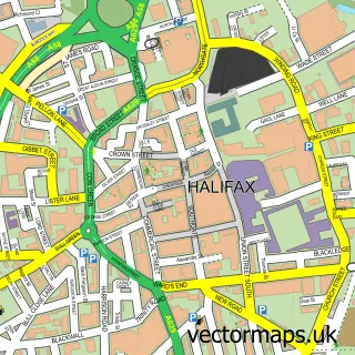

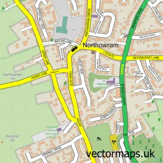
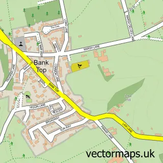
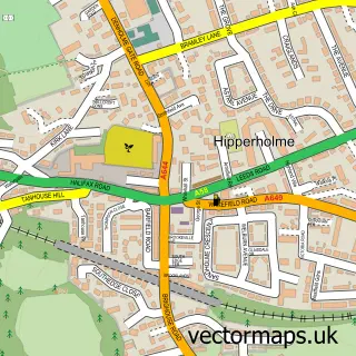
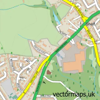
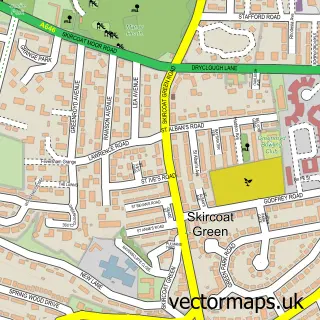
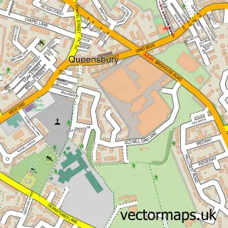
More street maps in West Yorkshire
750 metre map area coverage
Boundary, postcode and point of interest information for the 750m x 750m rectangle centred on this sample map.
Boundaries containing map centre
Constituency: Halifax Boro Const
District: Calderdale District (B)
Icb: NHS West Yorkshire ICB
Police Force: west yorkshire
Postcode District: HX3
Postcode Sector: HX3 7
Ward: Northowram and Shelf Ward
Nearby boundaries intersecting sample
Postcode Sector: HX3 6
Postcode coverage
POI category counts
Automotive Repair: 3
Cafe: 2
Gas Station: 2
Park: 2
Amusement Park: 1
Arts And Crafts: 1
Bar: 1
Bed And Breakfast: 1
Car Wash: 1
Convenience Store: 1
Sample points of interest
- Shibden Land Train
- Hightykes Trading
- Atlas garage
- Holmeward Car Sales
- Stump Cross Garage
- Stump Cross Fisheries
- Shibden Hall View
- Coffee Culture In the Park Halifax
- Shibden Mereside Cafe
- B P Car Wash
- Best-one
- Kathryn Hurl Counselling & Therapies
Create a larger editable map of Stump Cross
This sample shows only a 750 metre area. To create a larger map of Stump Cross, use our map builder to choose your own coverage area, add titles and download editable SVG, PDF and PNG files.
Create a custom map of Stump Cross