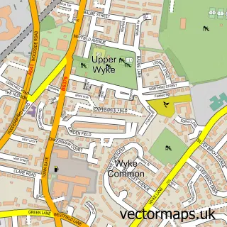
This Northowram street map is a detailed vector street map covering a 750m x 750m area. Select a larger area to create and download your own vector street map of Northowram.
The 750-metre map sample for Northowram covers 511 mapped buildings and approximately 15.8 km of road detail, of which 35 named roads are named. The immediate area includes 1 school, 3 GP surgeries within 2 miles, 1 pub and 1 MOT station, with 29 within 2 miles. The wider area around Northowram features 1 tourism point of interest and 1 food and drink venue. To create a larger or custom map of Northowram, the map builder lets you define your own coverage area and download editable SVG, PDF and PNG files.
Create a larger editable map of Northowram
Choose any area you need and generate a high-quality vector map instantly. Perfect for print, planning, design, business and personal use.

This Northowram street map in West Yorkshire is available as downloadable SVG, PDF and PNG map files, or as a printed map for planning, business, display, education, local information and design work. You can also create a larger custom map area using the map selector.
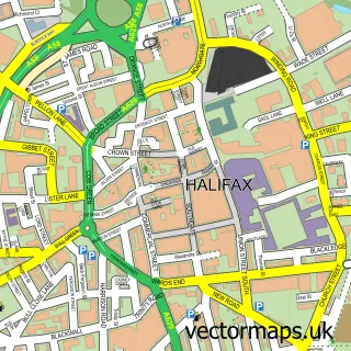
What this Northowram map sample shows
Northowram lies within Calderdale District (B) parish, part of Northowram And Shelf ward in the Calderdale District (B) local authority area. The postcode geography for this area includes the HX postcode area, the HX3 postcode district and the HX3 7 postcode sector. Residents fall under the Nhs West Yorkshire Integrated Care Board for NHS services.
Local features near Northowram
Within 2 milesAmenities and services in and around Northowram.
Administrative and postcode information for Northowram
The local authority covering Northowram is Calderdale District (B), within the county of West Yorkshire. The settlement lies within Northowram And Shelf ward and Calderdale District (B) civil parish. The HX3 postcode district and HX3 7 postcode sector serve the immediate area. NHS provision in the area is delivered through Calderdale And Huddersfield Nhs Foundation Trust.
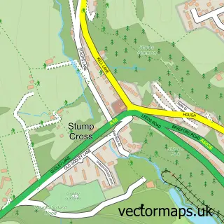
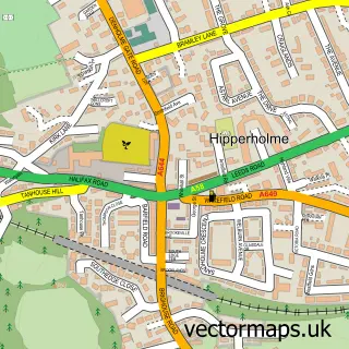
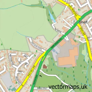
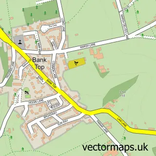
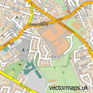
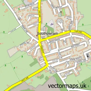
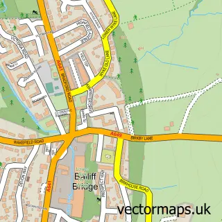
Nearby street map samples around Northowram

More street maps in West Yorkshire
750 metre map area coverage
Boundary, postcode and point of interest information for the 750m x 750m rectangle centred on this sample map.
Boundaries containing map centre
Constituency: Halifax Boro Const
District: Calderdale District (B)
Icb: NHS West Yorkshire ICB
Police Force: west yorkshire
Postcode District: HX3
Postcode Sector: HX3 7
Ward: Northowram and Shelf Ward
Nearby boundaries intersecting sample
No additional intersecting boundaries found.
Postcode coverage
POI category counts
Beauty Salon: 5
Barber: 3
Church Cathedral: 3
Convenience Store: 3
Hair Salon: 3
Home Service: 3
Shipping Center: 3
Building Supply Store: 2
Elementary School: 2
Financial Service: 2
Sample points of interest
- Impressions
- Brightline Design
- J S Rushforth Autoelectrics and Advanced Diagnostics
- Northowram Club
- Chaps Barbers
- Sweeny Todd's Barbers
- The Yorkshire Chair
- Mary's Glitzy Nails
- Anna's Beauty Centre and training academy
- Escape Beauty And Holistic
- KLT
- Sarah Priestley The Beauty & Holistic Specialist
Create a larger editable map of Northowram
This sample shows only a 750 metre area. To create a larger map of Northowram, use our map builder to choose your own coverage area, add titles and download editable SVG, PDF and PNG files.
Create a custom map of Northowram