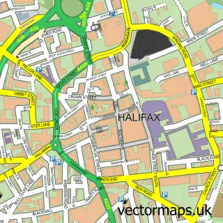
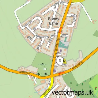
This Queensbury street map is a detailed vector street map covering a 750m x 750m area. Select a larger area to create and download your own vector street map of Queensbury.
The 750-metre map sample for Queensbury covers 427 mapped buildings and approximately 21.5 km of road detail, of which 74 named roads are named. The immediate area includes 1 primary school and 1 secondary school, 1 GP surgery, with 2 within 2 miles, 5 pubs and 2 MOT stations, with 10 within 2 miles. The wider area around Queensbury features 4 tourism points of interest and 8 food and drink venues. To create a larger or custom map of Queensbury, the map builder lets you define your own coverage area and download editable SVG, PDF and PNG files.
Create a larger editable map of Queensbury
Choose any area you need and generate a high-quality vector map instantly. Perfect for print, planning, design, business and personal use.

This Queensbury street map in West Yorkshire is available as downloadable SVG, PDF and PNG map files, or as a printed map for planning, business, display, education, local information and design work. You can also create a larger custom map area using the map selector.
What this Queensbury map sample shows
Queensbury lies within Bradford District (B) parish, part of Queensbury ward in the Bradford District (B) local authority area. The postcode geography for this area includes the BD postcode area, the BD13 postcode district and the BD13 1 postcode sector. Residents fall under the Nhs West Yorkshire Integrated Care Board for NHS services.
Local features near Queensbury
Within 2 milesAmenities and services in and around Queensbury.
Administrative and postcode information for Queensbury
Queensbury lies within Bradford District (B) parish, part of Queensbury ward in the Bradford District (B) local authority area. The postcode geography for this area includes the BD postcode area, the BD13 postcode district and the BD13 1 postcode sector. Residents fall under the Nhs West Yorkshire Integrated Care Board for NHS services.
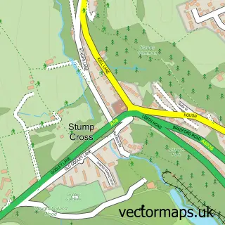
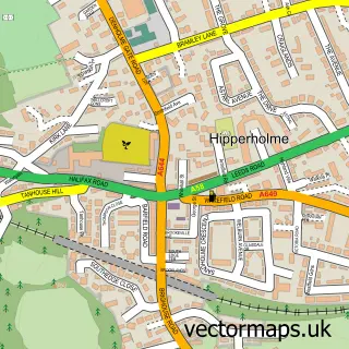
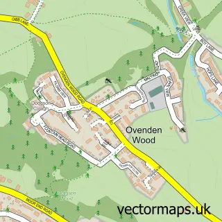
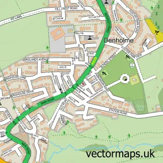
Nearby street map samples around Queensbury

More street maps in West Yorkshire
750 metre map area coverage
Boundary, postcode and point of interest information for the 750m x 750m rectangle centred on this sample map.
Boundaries containing map centre
Constituency: Bradford South Boro Const
District: Bradford District (B)
Icb: NHS West Yorkshire ICB
Police Force: west yorkshire
Postcode District: BD13
Postcode Sector: BD13 2
Ward: Queensbury Ward
Nearby boundaries intersecting sample
Postcode Sector: BD13 1
Postcode coverage
POI category counts
Hair Salon: 9
Beauty Salon: 8
Professional Services: 7
Pub: 5
Contractor: 4
Park: 4
Bar: 3
Barber: 3
Beauty And Spa: 3
Cafe: 3
Sample points of interest
- (IBA) Inn Business Accounting Ltd.
- Queensbury: Holy Trinity
- John Foster
- VR-Immersion
- Queensbury Crafters artisan markets
- The Handyman
- Black Dyke Band
- Queensbury Cues
- The Cooperative Food (BF) Queensbury High St, Queensbury
- Ajc Accident Repairs
- LJM Auto electrics
- Goldleaf Financial Services
Create a larger editable map of Queensbury
This sample shows only a 750 metre area. To create a larger map of Queensbury, use our map builder to choose your own coverage area, add titles and download editable SVG, PDF and PNG files.
Create a custom map of Queensbury