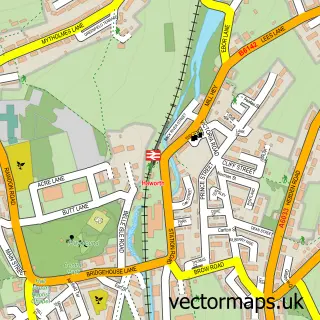
This Denholme street map is a detailed vector street map covering a 750m x 750m area. Select a larger area to create and download your own vector street map of Denholme.
The 750-metre map sample for Denholme covers 401 mapped buildings and approximately 17.4 km of road detail, of which 58 named roads are named. The immediate area includes 1 school, 1 GP surgery within 2 miles, 2 pubs and 6 MOT stations within 2 miles. The wider area around Denholme features 2 tourism points of interest, 2 food and drink venues and 1 campsite within 2 miles. To create a larger or custom map of Denholme, the map builder lets you define your own coverage area and download editable SVG, PDF and PNG files.
Create a larger editable map of Denholme
Choose any area you need and generate a high-quality vector map instantly. Perfect for print, planning, design, business and personal use.

This Denholme street map in West Yorkshire is available as downloadable SVG, PDF and PNG map files, or as a printed map for planning, business, display, education, local information and design work. You can also create a larger custom map area using the map selector.
What this Denholme map sample shows
Denholme lies within Denholme Cp parish, part of Bingley Rural ward in the Bradford District (B) local authority area. The postcode geography for this area includes the BD postcode area, the BD13 postcode district and the BD13 4 postcode sector. Residents fall under the Nhs West Yorkshire Integrated Care Board for NHS services.
Local features near Denholme
Within 2 milesAmenities and services in and around Denholme.
Administrative and postcode information for Denholme
Denholme lies within Denholme Cp parish, part of Bingley Rural ward in the Bradford District (B) local authority area. The postcode geography for this area includes the BD postcode area, the BD13 postcode district and the BD13 4 postcode sector. Residents fall under the Nhs West Yorkshire Integrated Care Board for NHS services.
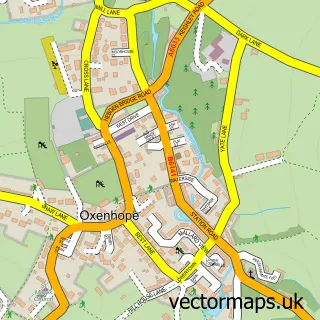
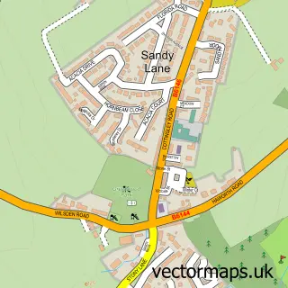
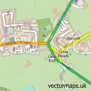
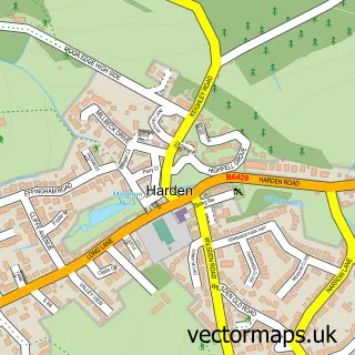
Nearby street map samples around Denholme

More street maps in West Yorkshire
750 metre map area coverage
Boundary, postcode and point of interest information for the 750m x 750m rectangle centred on this sample map.
Boundaries containing map centre
Constituency: Shipley Co Const
District: Bradford District (B)
Icb: NHS West Yorkshire ICB
Parish: Denholme CP
Police Force: west yorkshire
Postcode District: BD13
Postcode Sector: BD13 4
Ward: Bingley Rural Ward
Nearby boundaries intersecting sample
No additional intersecting boundaries found.
Postcode coverage
POI category counts
Building Supply Store: 7
Pet Services: 3
Pharmacy: 3
Beauty Salon: 2
Community Center: 2
Community Services Non Profits: 2
Convenience Store: 2
Home Goods Store: 2
Hvac Services: 2
Park: 2
Sample points of interest
- The Cooperative Food (BF) Denholme, Denholme
- Creations Hair & Beauty
- Utopia Hair & Beauty Boutique
- C R Taylor Timber
- Firths Externals
- Fluetech
- G.S Law Electrical & Security
- Green Thumb
- JMG Plumbing & Heating
- Sam's Touch Painting & Decorating
- Hoyles Denholme
- Babies Wonderland
Create a larger editable map of Denholme
This sample shows only a 750 metre area. To create a larger map of Denholme, use our map builder to choose your own coverage area, add titles and download editable SVG, PDF and PNG files.
Create a custom map of Denholme