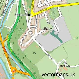
This Hipperholme street map is a detailed vector street map covering a 750m x 750m area. Select a larger area to create and download your own vector street map of Hipperholme.
The 750-metre map sample for Hipperholme covers 504 mapped buildings and approximately 19.2 km of road detail, of which 48 named roads are named. The immediate area includes 1 school, 1 GP surgery, with 4 within 2 miles, 4 pubs and 1 MOT station, with 19 within 2 miles. The wider area around Hipperholme features 8 food and drink venues. To create a larger or custom map of Hipperholme, the map builder lets you define your own coverage area and download editable SVG, PDF and PNG files.
Create a larger editable map of Hipperholme
Choose any area you need and generate a high-quality vector map instantly. Perfect for print, planning, design, business and personal use.

This Hipperholme street map in West Yorkshire is available as downloadable SVG, PDF and PNG map files, or as a printed map for planning, business, display, education, local information and design work. You can also create a larger custom map area using the map selector.
What this Hipperholme map sample shows
Hipperholme lies within Calderdale District (B) parish, part of Hipperholme And Lightcliffe ward in the Calderdale District (B) local authority area. The postcode geography for this area includes the HX postcode area, the HX3 postcode district and the HX3 8 postcode sector. Residents fall under the Nhs West Yorkshire Integrated Care Board for NHS services.
Local features near Hipperholme
Within 2 milesAmenities and services in and around Hipperholme.
Administrative and postcode information for Hipperholme
The local authority covering Hipperholme is Calderdale District (B), within the county of West Yorkshire. The settlement lies within Hipperholme And Lightcliffe ward and Calderdale District (B) civil parish. The HX3 postcode district and HX3 8 postcode sector serve the immediate area. NHS provision in the area is delivered through Calderdale And Huddersfield Nhs Foundation Trust.
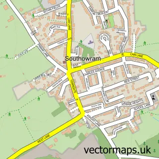
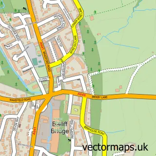
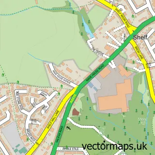
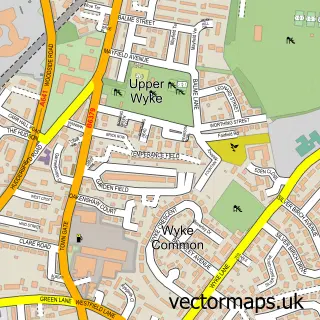
Nearby street map samples around Hipperholme

More street maps in West Yorkshire
750 metre map area coverage
Boundary, postcode and point of interest information for the 750m x 750m rectangle centred on this sample map.
Boundaries containing map centre
Constituency: Calder Valley Co Const
District: Calderdale District (B)
Icb: NHS West Yorkshire ICB
Police Force: west yorkshire
Postcode District: HX3
Postcode Sector: HX3 8
Ward: Hipperholme and Lightcliffe Ward
Nearby boundaries intersecting sample
No additional intersecting boundaries found.
Postcode coverage
POI category counts
Beauty Salon: 13
Hair Salon: 10
Beauty And Spa: 5
Pub: 4
Automotive Repair: 3
Building Supply Store: 3
Contractor: 3
Courier And Delivery Services: 3
Flowers And Gifts Shop: 3
Mortgage Broker: 3
Sample points of interest
- Weldform
- Northedge Framing and Fine Art
- Masonic Hall
- The Cooperative Food (BF) Lightcliffe, Hipperholme
- West Riding Independent
- Stirkbridge Upholstery
- AS Clutch Technology
- D & G Autos
- His and Hers Garage
- DPC Distribution
- The Whitehall
- In-sync Barbers
Create a larger editable map of Hipperholme
This sample shows only a 750 metre area. To create a larger map of Hipperholme, use our map builder to choose your own coverage area, add titles and download editable SVG, PDF and PNG files.
Create a custom map of Hipperholme