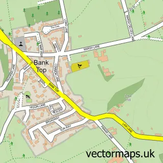
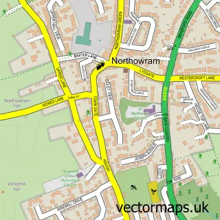
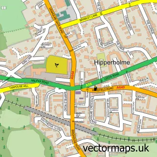
This Halifax street map is a detailed vector street map covering a 750m x 750m area. Select a larger area to create and download your own vector street map of Halifax.
The 750-metre map sample for Halifax covers 179 mapped buildings and approximately 33.0 km of road detail, of which 120 named roads are named. The immediate area includes 1 school, 1 GP surgery, with 7 within 2 miles, 44 pubs and 5 MOT stations, with 42 within 2 miles. The wider area around Halifax features 13 tourism points of interest, 111 food and drink venues and 12 hotels. To create a larger or custom map of Halifax, the map builder lets you define your own coverage area and download editable SVG, PDF and PNG files.
Create a larger editable map of Halifax
Choose any area you need and generate a high-quality vector map instantly. Perfect for print, planning, design, business and personal use.

This Halifax street map in West Yorkshire is available as downloadable SVG, PDF and PNG map files, or as a printed map for planning, business, display, education, local information and design work. You can also create a larger custom map area using the map selector.
What this Halifax map sample shows
Halifax lies within Calderdale District (B) parish, part of Town ward in the Calderdale District (B) local authority area. The postcode geography for this area includes the HX postcode area, the HX1 postcode district and the HX1 2 postcode sector. Residents fall under the Nhs West Yorkshire Integrated Care Board for NHS services.
Local features near Halifax
Within 2 milesAmenities and services in and around Halifax.
Administrative and postcode information for Halifax
Halifax lies within Calderdale District (B) parish, part of Town ward in the Calderdale District (B) local authority area. The postcode geography for this area includes the HX postcode area, the HX1 postcode district and the HX1 2 postcode sector. Residents fall under the Nhs West Yorkshire Integrated Care Board for NHS services.
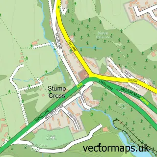
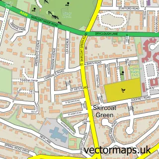
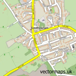
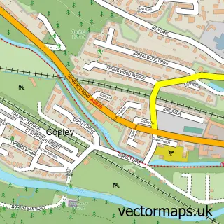
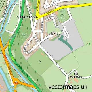
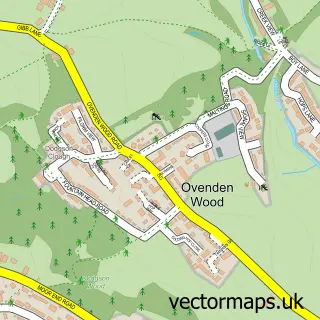
Nearby street map samples around Halifax

More street maps in West Yorkshire
750 metre map area coverage
Boundary, postcode and point of interest information for the 750m x 750m rectangle centred on this sample map.
Boundaries containing map centre
Constituency: Halifax Boro Const
District: Calderdale District (B)
Icb: NHS West Yorkshire ICB
Police Force: west yorkshire
Postcode District: HX1
Postcode Sector: HX1 1
Ward: Town Ward
Nearby boundaries intersecting sample
Postcode District: HX3
Postcode Sector: HX1 2, HX1 5, HX3 5, HX3 6
Ward: Park Ward, Skircoat Ward
Postcode coverage
POI category counts
Pub: 44
Beauty Salon: 38
Cafe: 27
Hair Salon: 27
Clothing Store: 20
Coffee Shop: 20
Restaurant: 20
Bar: 19
Jewelry Store: 19
Mobile Phone Store: 19
Sample points of interest
- Calderdale in Recovery
- The Basement Recovery Project
- Oxenhope Village
- A.D. Broadbent & Co. Accountants
- Bairstow & Atkinson
- Broadbents Accountants and Business Advisors
- Spenser Wilson & Co.
- TaxAssist Accountants
- Skate It Yourself
- Sweaty Mama Huddersfield, Halifax and Cleckheaton
- Halifax Clinic of Natural Medicine
- Club La Salsa
Create a larger editable map of Halifax
This sample shows only a 750 metre area. To create a larger map of Halifax, use our map builder to choose your own coverage area, add titles and download editable SVG, PDF and PNG files.
Create a custom map of Halifax