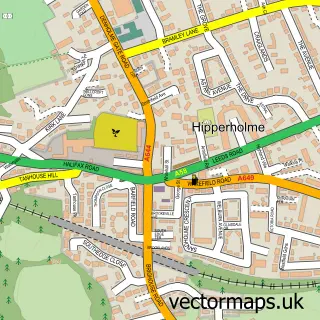
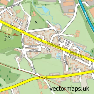
This Shelf street map is a detailed vector street map covering a 750m x 750m area. Select a larger area to create and download your own vector street map of Shelf.
The 750-metre map sample for Shelf covers 311 mapped buildings and approximately 10.3 km of road detail, of which 27 named roads are named. The immediate area includes 2 schools, 6 GP surgeries within 2 miles, 3 pubs and 12 MOT stations within 2 miles. The wider area around Shelf features 2 tourism points of interest and 4 food and drink venues. To create a larger or custom map of Shelf, the map builder lets you define your own coverage area and download editable SVG, PDF and PNG files.
Create a larger editable map of Shelf
Choose any area you need and generate a high-quality vector map instantly. Perfect for print, planning, design, business and personal use.

This Shelf street map in West Yorkshire is available as downloadable SVG, PDF and PNG map files, or as a printed map for planning, business, display, education, local information and design work. You can also create a larger custom map area using the map selector.
What this Shelf map sample shows
Shelf lies within Calderdale District (B) parish, part of Northowram And Shelf ward in the Calderdale District (B) local authority area. The postcode geography for this area includes the HX postcode area, the HX3 postcode district and the HX3 7 postcode sector. Residents fall under the Nhs West Yorkshire Integrated Care Board for NHS services.
Local features near Shelf
Within 2 milesAmenities and services in and around Shelf.
Administrative and postcode information for Shelf
Shelf lies within Calderdale District (B) parish, part of Northowram And Shelf ward in the Calderdale District (B) local authority area. The postcode geography for this area includes the HX postcode area, the HX3 postcode district and the HX3 7 postcode sector. Residents fall under the Nhs West Yorkshire Integrated Care Board for NHS services.
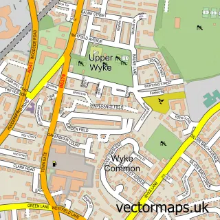
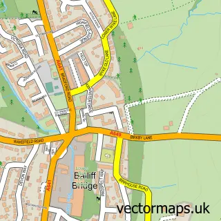
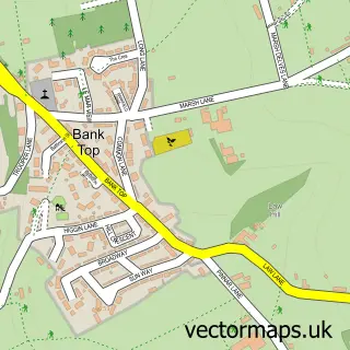
Nearby street map samples around Shelf

More street maps in West Yorkshire
750 metre map area coverage
Boundary, postcode and point of interest information for the 750m x 750m rectangle centred on this sample map.
Boundaries containing map centre
Constituency: Halifax Boro Const
District: Calderdale District (B)
Icb: NHS West Yorkshire ICB
Police Force: west yorkshire
Postcode District: HX3
Postcode Sector: HX3 7
Ward: Northowram and Shelf Ward
Nearby boundaries intersecting sample
No additional intersecting boundaries found.
Postcode coverage
POI category counts
Beauty Salon: 8
Naturopathic Holistic: 4
Automotive Repair: 3
Pub: 3
Barber: 2
Beauty And Spa: 2
Building Supply Store: 2
Counseling And Mental Health: 2
Driving School: 2
Home Cleaning: 2
Sample points of interest
- The Mexanines
- EECO Towbars
- Exhaust Ejector Co
- Holts Car & Van
- The Cake Emporium Ltd
- Interface
- Barneys Barbers Of Shelf
- Village Barbers
- Grogan & Rogers
- Moon and Roses Ltd
- Amy Rose Beauty
- Beauty Secrets By Ella
Create a larger editable map of Shelf
This sample shows only a 750 metre area. To create a larger map of Shelf, use our map builder to choose your own coverage area, add titles and download editable SVG, PDF and PNG files.
Create a custom map of Shelf