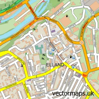
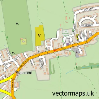
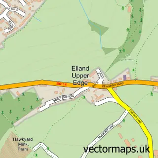
This West Vale street map is a detailed vector street map covering a 750m x 750m area. Select a larger area to create and download your own vector street map of West Vale.
The 750-metre map sample for West Vale covers 321 mapped buildings and approximately 21.2 km of road detail, of which 49 named roads are named. The immediate area includes 1 school, 1 GP surgery, with 2 within 2 miles, 4 pubs and 3 MOT stations, with 12 within 2 miles. The wider area around West Vale features 4 tourism points of interest, 9 food and drink venues and 1 hotel. To create a larger or custom map of West Vale, the map builder lets you define your own coverage area and download editable SVG, PDF and PNG files.
Create a larger editable map of West Vale
Choose any area you need and generate a high-quality vector map instantly. Perfect for print, planning, design, business and personal use.

This West Vale street map in West Yorkshire is available as downloadable SVG, PDF and PNG map files, or as a printed map for planning, business, display, education, local information and design work. You can also create a larger custom map area using the map selector.
What this West Vale map sample shows
West Vale lies within Calderdale District (B) parish, part of Greetland And Stainland ward in the Calderdale District (B) local authority area. The postcode geography for this area includes the HX postcode area, the HX4 postcode district and the HX4 8 postcode sector. Residents fall under the Nhs West Yorkshire Integrated Care Board for NHS services.
Local features near West Vale
Within 2 milesAmenities and services in and around West Vale.
Administrative and postcode information for West Vale
West Vale lies within Calderdale District (B) parish, part of Greetland And Stainland ward in the Calderdale District (B) local authority area. The postcode geography for this area includes the HX postcode area, the HX4 postcode district and the HX4 8 postcode sector. Residents fall under the Nhs West Yorkshire Integrated Care Board for NHS services.
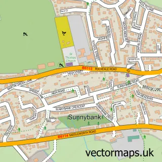
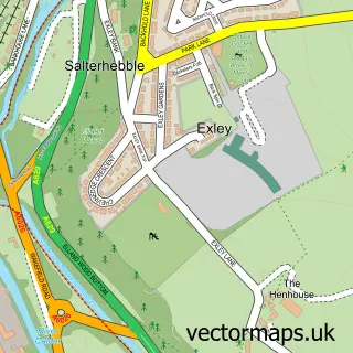
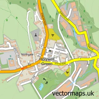
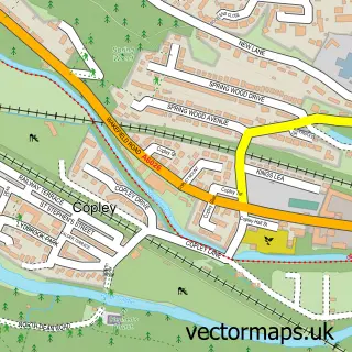
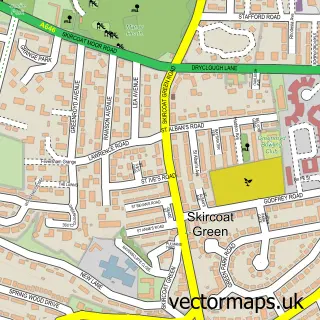
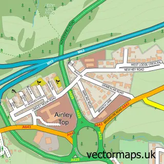
Nearby street map samples around West Vale

More street maps in West Yorkshire
750 metre map area coverage
Boundary, postcode and point of interest information for the 750m x 750m rectangle centred on this sample map.
Boundaries containing map centre
Constituency: Calder Valley Co Const
District: Calderdale District (B)
Icb: NHS West Yorkshire ICB
Police Force: west yorkshire
Postcode District: HX4
Postcode Sector: HX4 8
Ward: Greetland and Stainland Ward
Nearby boundaries intersecting sample
Postcode District: HX5
Postcode Sector: HX5 0
Ward: Elland Ward
Postcode coverage
POI category counts
Beauty Salon: 5
Bar: 4
Building Supply Store: 4
Cafe: 4
Park: 4
Pub: 4
Automotive Repair: 3
Barber: 3
Beauty And Spa: 3
Elementary School: 3
Sample points of interest
- GFA Associates Ltd.
- Rhodes Chartered Accountancy
- Move on Up Design
- Andy Thornton
- Mina’s Table
- The Cooperative Food (BF) Greetland, Greetland
- Shelby motors Halifax
- Black Brook Garage LTD
- Lambert Street Garage
- Sunside Service Station
- Di's Pies
- West Vale Bakery
Create a larger editable map of West Vale
This sample shows only a 750 metre area. To create a larger map of West Vale, use our map builder to choose your own coverage area, add titles and download editable SVG, PDF and PNG files.
Create a custom map of West Vale