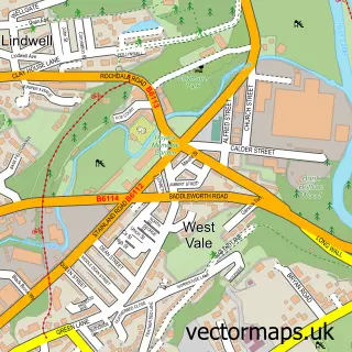
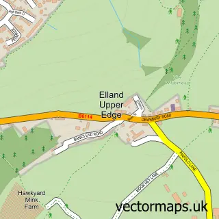
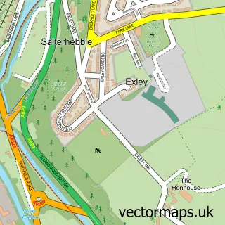
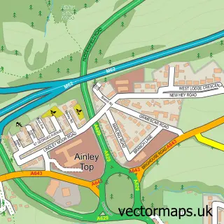
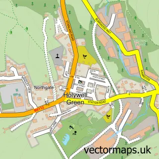
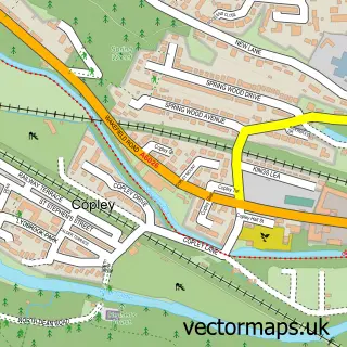
This Elland street map is a detailed vector street map covering a 750m x 750m area. Select a larger area to create and download your own vector street map of Elland.
The 750-metre map sample for Elland covers 313 mapped buildings and approximately 29.7 km of road detail, of which 66 named roads are named. The immediate area includes 3 schools, 1 GP surgery, with 5 within 2 miles, 8 pubs and 3 MOT stations, with 11 within 2 miles. The wider area around Elland features 1 tourism point of interest, 16 food and drink venues and 1 campsite within 2 miles. To create a larger or custom map of Elland, the map builder lets you define your own coverage area and download editable SVG, PDF and PNG files.
Create a larger editable map of Elland
Choose any area you need and generate a high-quality vector map instantly. Perfect for print, planning, design, business and personal use.

This Elland street map in West Yorkshire is available as downloadable SVG, PDF and PNG map files, or as a printed map for planning, business, display, education, local information and design work. You can also create a larger custom map area using the map selector.
What this Elland map sample shows
Elland lies within Calderdale District (B) parish, part of Elland ward in the Calderdale District (B) local authority area. The postcode geography for this area includes the HX postcode area, the HX5 postcode district and the HX5 9 postcode sector. Residents fall under the Nhs West Yorkshire Integrated Care Board for NHS services.
Local features near Elland
Within 2 milesAmenities and services in and around Elland.
Administrative and postcode information for Elland
The local authority covering Elland is Calderdale District (B), within the county of West Yorkshire. The settlement lies within Elland ward and Calderdale District (B) civil parish. The HX5 postcode district and HX5 9 postcode sector serve the immediate area. NHS provision in the area is delivered through Calderdale And Huddersfield Nhs Foundation Trust.
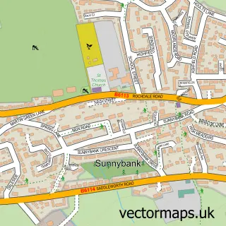
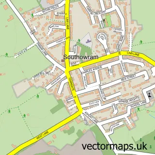
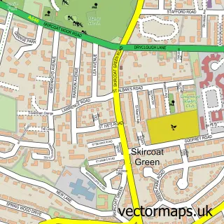
Nearby street map samples around Elland

More street maps in West Yorkshire
750 metre map area coverage
Boundary, postcode and point of interest information for the 750m x 750m rectangle centred on this sample map.
Boundaries containing map centre
Constituency: Calder Valley Co Const
District: Calderdale District (B)
Icb: NHS West Yorkshire ICB
Police Force: west yorkshire
Postcode District: HX5
Postcode Sector: HX5 0
Ward: Elland Ward
Nearby boundaries intersecting sample
Postcode Sector: HX5 9
Postcode coverage
POI category counts
Hair Salon: 14
Beauty Salon: 13
Professional Services: 13
Automotive Repair: 9
Clothing Store: 9
Flowers And Gifts Shop: 8
Pub: 8
Retail: 8
Beauty And Spa: 7
Indian Restaurant: 6
Sample points of interest
- Peel Walker
- Acupuncture by Balquees
- Digital Media Systems
- Ensign Graphics
- St Mary the Virgin Church
- D Brash & Sons Ltd.
- Robertshaws
- Turquoise
- Huddersfield Fine Fabrics
- Anchor - Flower Acre
- ATM (Post Office)
- Elland Service Station, Elland
Create a larger editable map of Elland
This sample shows only a 750 metre area. To create a larger map of Elland, use our map builder to choose your own coverage area, add titles and download editable SVG, PDF and PNG files.
Create a custom map of Elland