This Farthingstone street map is a detailed vector street map covering a 750m x 750m area. Select a larger area to create and download your own vector street map of Farthingstone.
The 750-metre map sample for Farthingstone covers 103 mapped buildings and approximately 16.0 km of road detail, of which 5 named roads are named. The immediate area includes 2 pubs. The wider area around Farthingstone features 2 food and drink venues and 2 hotels. To create a larger or custom map of Farthingstone, the map builder lets you define your own coverage area and download editable SVG, PDF and PNG files.
Create a larger editable map of Farthingstone
Choose any area you need and generate a high-quality vector map instantly. Perfect for print, planning, design, business and personal use.

This Farthingstone street map in Northamptonshire is available as downloadable SVG, PDF and PNG map files, or as a printed map for planning, business, display, education, local information and design work. You can also create a larger custom map area using the map selector.
What this Farthingstone map sample shows
Farthingstone lies within Farthingstone Cp parish, part of Weedon ward in the West Northamptonshire local authority area. The postcode geography for this area includes the NN postcode area, the NN12 postcode district and the NN12 8 postcode sector. Residents fall under the Nhs Northamptonshire Integrated Care Board for NHS services.
Local features near Farthingstone
Within 2 milesAmenities and services in and around Farthingstone.
Administrative and postcode information for Farthingstone
Farthingstone lies within Farthingstone Cp parish, part of Weedon ward in the West Northamptonshire local authority area. The postcode geography for this area includes the NN postcode area, the NN12 postcode district and the NN12 8 postcode sector. Residents fall under the Nhs Northamptonshire Integrated Care Board for NHS services.
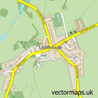
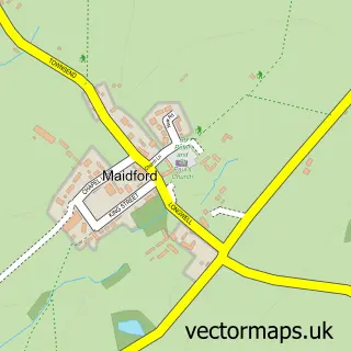
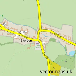
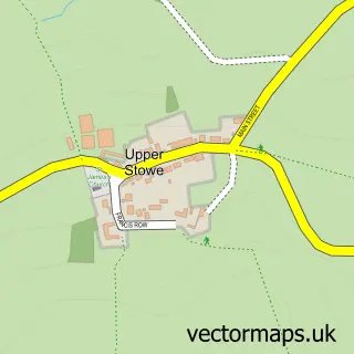
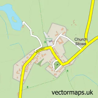
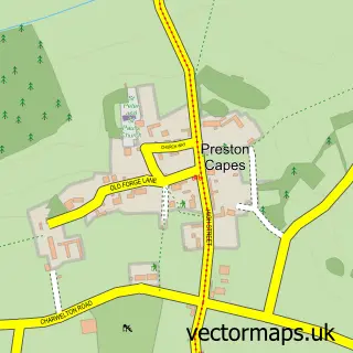
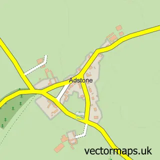
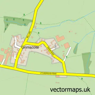
Nearby street map samples around Farthingstone


More street maps in Northamptonshire
750 metre map area coverage
Boundary, postcode and point of interest information for the 750m x 750m rectangle centred on this sample map.
Boundaries containing map centre
Constituency: Daventry Co Const
District: West Northamptonshire
Icb: NHS Northamptonshire ICB
Parish: Farthingstone CP
Police Force: northamptonshire
Postcode District: NN12
Postcode Sector: NN12 8
Ward: Rural South Northamptonshire Ward
Nearby boundaries intersecting sample
No additional intersecting boundaries found.
Postcode coverage
POI category counts
Acupuncture: 2
Hotel: 2
Pub: 2
Anglican Church: 1
Business To Business: 1
Gardener: 1
Granite Supplier: 1
Printing Services: 1
Real Estate Agent: 1
Sample points of interest
- Ki Connections Acupuncture And Shiatsu
- Ki Connections Shiatsu and Acupuncture
- St Mary the Virgin
- Bay Tree Cottage & Littlecourt Yard Accommodation
- R D Landscapes
- Trade Stone Factory
- Bay Tree Cottage Accommodation
- Potcote Farm Stables Accommodation
- Joy Mead Gardens
- Kings Arms
- The Kings Arms
- David Cosby Chartered Surveyors & Estate Agents
Create a larger editable map of Farthingstone
This sample shows only a 750 metre area. To create a larger map of Farthingstone, use our map builder to choose your own coverage area, add titles and download editable SVG, PDF and PNG files.
Create a custom map of Farthingstone