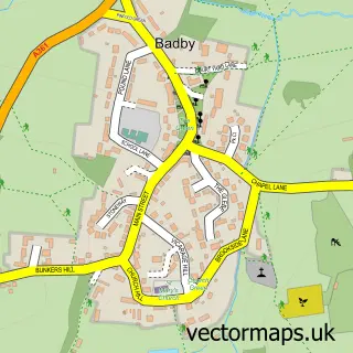
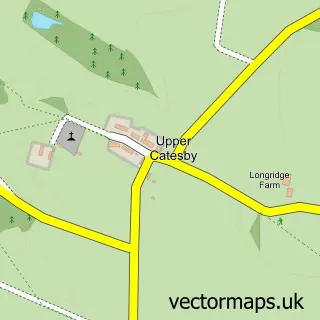
This Daventry street map is a detailed vector street map covering a 750m x 750m area. Select a larger area to create and download your own vector street map of Daventry.
The 750-metre map sample for Daventry covers 282 mapped buildings and approximately 38.6 km of road detail, of which 44 named roads are named. The immediate area includes 2 schools, 1 GP surgery, with 2 within 2 miles, 13 pubs and 13 MOT stations within 2 miles. The wider area around Daventry features 1 tourism point of interest, 32 food and drink venues and 1 hotel. To create a larger or custom map of Daventry, the map builder lets you define your own coverage area and download editable SVG, PDF and PNG files.
Create a larger editable map of Daventry
Choose any area you need and generate a high-quality vector map instantly. Perfect for print, planning, design, business and personal use.

This Daventry street map in Northamptonshire is available as downloadable SVG, PDF and PNG map files, or as a printed map for planning, business, display, education, local information and design work. You can also create a larger custom map area using the map selector.
What this Daventry map sample shows
Daventry lies within Daventry Cp parish, part of Abbey South ward in the West Northamptonshire local authority area. The postcode geography for this area includes the NN postcode area, the NN11 postcode district and the NN11 4 postcode sector. Residents fall under the Nhs Northamptonshire Integrated Care Board for NHS services.
Local features near Daventry
Within 2 milesAmenities and services in and around Daventry.
Administrative and postcode information for Daventry
Daventry lies within Daventry Cp parish, part of Abbey South ward in the West Northamptonshire local authority area. The postcode geography for this area includes the NN postcode area, the NN11 postcode district and the NN11 4 postcode sector. Residents fall under the Nhs Northamptonshire Integrated Care Board for NHS services.
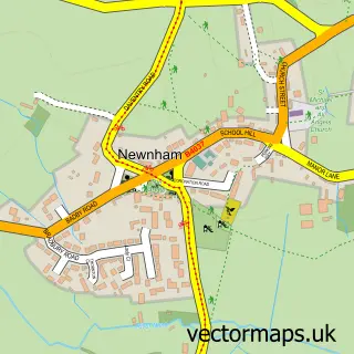
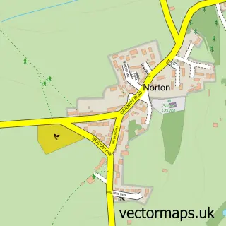
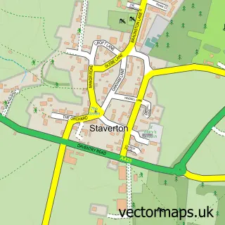
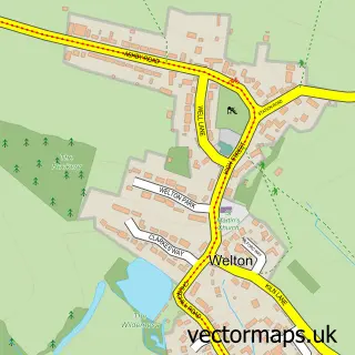
Nearby street map samples around Daventry

More street maps in Northamptonshire
750 metre map area coverage
Boundary, postcode and point of interest information for the 750m x 750m rectangle centred on this sample map.
Boundaries containing map centre
Constituency: Daventry Co Const
District: West Northamptonshire
Icb: NHS Northamptonshire ICB
Parish: Daventry CP
Police Force: northamptonshire
Postcode District: NN11
Postcode Sector: NN11 4
Ward: Daventry South Ward
Nearby boundaries intersecting sample
Postcode Sector: NN11 0, NN11 9
Ward: Daventry North West Ward
Postcode coverage
POI category counts
Beauty Salon: 21
Charity Organization: 13
Pub: 13
Real Estate Agent: 11
Barber: 10
Cafe: 10
Professional Services: 10
Hair Salon: 9
Martial Arts Club: 9
Mobile Phone Store: 8
Sample points of interest
- Cottons Group Daventry
- Nediab Accountants Ltd
- Vanmali & Co. Chartered Certified Accountants
- Connexions
- Sonar Design
- Helen McPherson Hypnotherapist Daventry
- Holy Cross Daventry
- Evergreen Art Cafe
- Heather's Art studio
- The Works
- Attic club
- Happy Chef
Create a larger editable map of Daventry
This sample shows only a 750 metre area. To create a larger map of Daventry, use our map builder to choose your own coverage area, add titles and download editable SVG, PDF and PNG files.
Create a custom map of Daventry