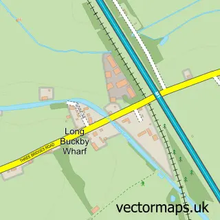
This Norton street map is a detailed vector street map covering a 750m x 750m area. Select a larger area to create and download your own vector street map of Norton.
The 750-metre map sample for Norton covers 112 mapped buildings and approximately 17.5 km of road detail, of which 8 named roads are named. The immediate area includes 1 GP surgery within 2 miles, 1 pub and 3 MOT stations within 2 miles. The wider area around Norton features 1 food and drink venue. To create a larger or custom map of Norton, the map builder lets you define your own coverage area and download editable SVG, PDF and PNG files.
Create a larger editable map of Norton
Choose any area you need and generate a high-quality vector map instantly. Perfect for print, planning, design, business and personal use.

This Norton street map in Northamptonshire is available as downloadable SVG, PDF and PNG map files, or as a printed map for planning, business, display, education, local information and design work. You can also create a larger custom map area using the map selector.
What this Norton map sample shows
Norton lies within Norton Cp parish, part of Weedon ward in the West Northamptonshire local authority area. The postcode geography for this area includes the NN postcode area, the NN11 postcode district and the NN11 2 postcode sector. Residents fall under the Nhs Northamptonshire Integrated Care Board for NHS services.
Local features near Norton
Within 2 milesAmenities and services in and around Norton.
Administrative and postcode information for Norton
The local authority covering Norton is West Northamptonshire, within the county of Northamptonshire. The settlement lies within Weedon ward and Norton Cp civil parish. The NN11 postcode district and NN11 2 postcode sector serve the immediate area. NHS provision in the area is delivered through Northampton General Hospital Nhs Trust.
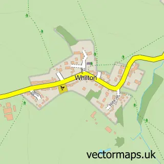
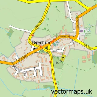
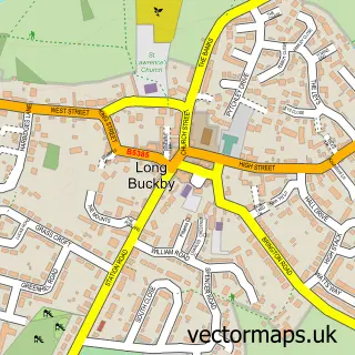
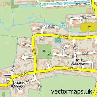
Nearby street map samples around Norton


More street maps in Northamptonshire
750 metre map area coverage
Boundary, postcode and point of interest information for the 750m x 750m rectangle centred on this sample map.
Boundaries containing map centre
Constituency: Daventry Co Const
District: West Northamptonshire
Icb: NHS Northamptonshire ICB
Parish: Norton CP
Police Force: northamptonshire
Postcode District: NN11
Postcode Sector: NN11 2
Ward: Long Buckby Ward
Nearby boundaries intersecting sample
No additional intersecting boundaries found.
Postcode coverage
POI category counts
Anglican Church: 2
Audiovisual Equipment Rental: 1
Damage Restoration: 1
Framing Store: 1
Gardener: 1
Party And Event Planning: 1
Photographer: 1
Printing Services: 1
Professional Services: 1
Pub: 1
Sample points of interest
- All Saints Church
- All Saints' Church, Norton
- Skipy Skip Hire Ltd.
- DM and PA Cook
- Freeze Frame
- Angel Landscapes
- Pugs And Peonies
- Peter James Photography
- Design To Print
- Daventry Scaffolding Services
- The Chippy At Norton
- Norton Parish Council
Create a larger editable map of Norton
This sample shows only a 750 metre area. To create a larger map of Norton, use our map builder to choose your own coverage area, add titles and download editable SVG, PDF and PNG files.
Create a custom map of Norton