This Long Buckby Wharf street map is a detailed vector street map covering a 750m x 750m area. Select a larger area to create and download your own vector street map of Long Buckby Wharf.
The 750-metre map sample for Long Buckby Wharf covers 50 mapped buildings and approximately 15.3 km of road detail, of which 2 named roads are named. The immediate area includes 1 GP surgery within 2 miles and 1 MOT station, with 2 within 2 miles. The wider area around Long Buckby Wharf features 1 tourism point of interest. To create a larger or custom map of Long Buckby Wharf, the map builder lets you define your own coverage area and download editable SVG, PDF and PNG files.
Create a larger editable map of Long Buckby Wharf
Choose any area you need and generate a high-quality vector map instantly. Perfect for print, planning, design, business and personal use.

This Long Buckby Wharf street map in Northamptonshire is available as downloadable SVG, PDF and PNG map files, or as a printed map for planning, business, display, education, local information and design work. You can also create a larger custom map area using the map selector.
What this Long Buckby Wharf map sample shows
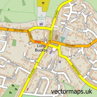
Long Buckby Wharf lies within Long Buckby Cp parish, part of Long Buckby ward in the West Northamptonshire local authority area. The postcode geography for this area includes the NN postcode area, the NN6 postcode district and the NN6 7 postcode sector. Residents fall under the Nhs Northamptonshire Integrated Care Board for NHS services.
Local features near Long Buckby Wharf
Within 2 milesAmenities and services in and around Long Buckby Wharf.
Administrative and postcode information for Long Buckby Wharf
Long Buckby Wharf lies within Long Buckby Cp parish, part of Long Buckby ward in the West Northamptonshire local authority area. The postcode geography for this area includes the NN postcode area, the NN6 postcode district and the NN6 7 postcode sector. Residents fall under the Nhs Northamptonshire Integrated Care Board for NHS services.
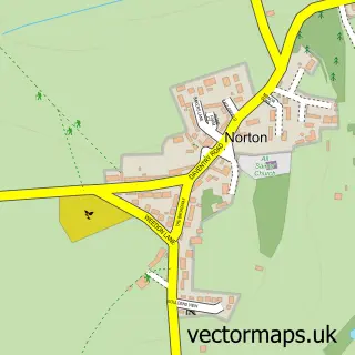
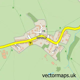
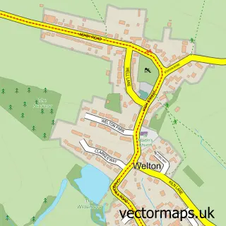
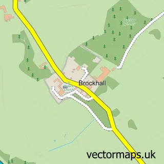
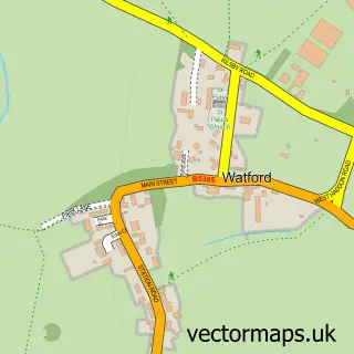
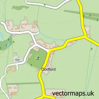
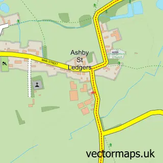
Nearby street map samples around Long Buckby Wharf


More street maps in Northamptonshire
750 metre map area coverage
Boundary, postcode and point of interest information for the 750m x 750m rectangle centred on this sample map.
Boundaries containing map centre
Constituency: Daventry Co Const
District: West Northamptonshire
Icb: NHS Northamptonshire ICB
Parish: Long Buckby CP
Police Force: northamptonshire
Postcode District: NN6
Postcode Sector: NN6 7
Ward: Long Buckby Ward
Nearby boundaries intersecting sample
Parish: Whilton CP
Postcode District: NN11
Postcode Sector: NN11 2
Postcode coverage
POI category counts
Agriculture: 1
Automotive Repair: 1
Business: 1
Business Manufacturing And Supply: 1
Campground: 1
Canal: 1
Flowers And Gifts Shop: 1
Professional Services: 1
Video Game Store: 1
Sample points of interest
- Lynx Engineering
- Corporate Service Solutions
- PCM Handling & Transport
- PCM Transport and Handling Equipment
- Heart of England Motorhomes
- Long Buckby Lock No 8
- Anchor Cottage Crafts
- PCM Fluid Power
- Tablesport
Create a larger editable map of Long Buckby Wharf
This sample shows only a 750 metre area. To create a larger map of Long Buckby Wharf, use our map builder to choose your own coverage area, add titles and download editable SVG, PDF and PNG files.
Create a custom map of Long Buckby Wharf