This Welton street map is a detailed vector street map covering a 750m x 750m area. Select a larger area to create and download your own vector street map of Welton.
The 750-metre map sample for Welton covers 220 mapped buildings and approximately 13.5 km of road detail, of which 11 named roads are named. The immediate area includes 1 school, 2 pubs and 3 MOT stations within 2 miles. The wider area around Welton features 1 tourism point of interest and 2 food and drink venues. To create a larger or custom map of Welton, the map builder lets you define your own coverage area and download editable SVG, PDF and PNG files.
Create a larger editable map of Welton
Choose any area you need and generate a high-quality vector map instantly. Perfect for print, planning, design, business and personal use.

This Welton street map in Northamptonshire is available as downloadable SVG, PDF and PNG map files, or as a printed map for planning, business, display, education, local information and design work. You can also create a larger custom map area using the map selector.
What this Welton map sample shows
Welton lies within Welton Cp parish, part of Braunston And Welton ward in the West Northamptonshire local authority area. The postcode geography for this area includes the NN postcode area, the NN11 postcode district and the NN11 2 postcode sector. Residents fall under the Nhs Northamptonshire Integrated Care Board for NHS services.
Local features near Welton
Within 2 milesAmenities and services in and around Welton.
Administrative and postcode information for Welton
Welton lies within Welton Cp parish, part of Braunston And Welton ward in the West Northamptonshire local authority area. The postcode geography for this area includes the NN postcode area, the NN11 postcode district and the NN11 2 postcode sector. Residents fall under the Nhs Northamptonshire Integrated Care Board for NHS services.
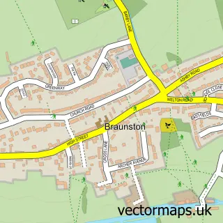
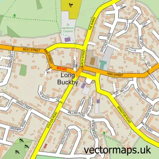
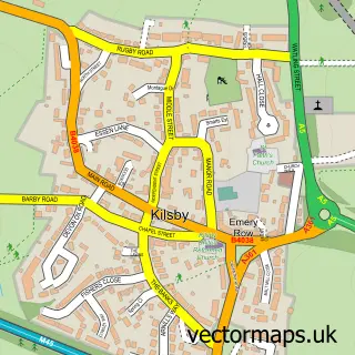
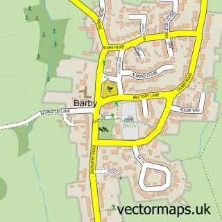
Nearby street map samples around Welton


More street maps in Northamptonshire
750 metre map area coverage
Boundary, postcode and point of interest information for the 750m x 750m rectangle centred on this sample map.
Boundaries containing map centre
Constituency: Daventry Co Const
District: West Northamptonshire
Icb: NHS Northamptonshire ICB
Parish: Welton CP
Police Force: northamptonshire
Postcode District: NN11
Postcode Sector: NN11 2
Ward: Braunston & Crick Ward
Nearby boundaries intersecting sample
No additional intersecting boundaries found.
Postcode coverage
POI category counts
Pub: 2
Agriculture: 1
Anglican Church: 1
Community Services Non Profits: 1
Elementary School: 1
Park: 1
Printing Services: 1
Shoe Store: 1
Sample points of interest
- Laycroft
- St Martin's, Welton
- Welton Village Hall, Northamptonshire
- Welton CE Academy
- Welton Recreation Ground
- R and R Printed Supplies
- The White Horse
- White Horse
- Faulkners Footwear
Create a larger editable map of Welton
This sample shows only a 750 metre area. To create a larger map of Welton, use our map builder to choose your own coverage area, add titles and download editable SVG, PDF and PNG files.
Create a custom map of Welton