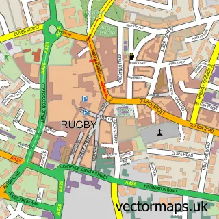
This Barby street map is a detailed vector street map covering a 750m x 750m area. Select a larger area to create and download your own vector street map of Barby.
The 750-metre map sample for Barby covers 289 mapped buildings and approximately 18.4 km of road detail, of which 19 named roads are named. The immediate area includes 1 pub and 1 MOT station within 2 miles. The wider area around Barby features 3 tourism points of interest and 1 food and drink venue. To create a larger or custom map of Barby, the map builder lets you define your own coverage area and download editable SVG, PDF and PNG files.
Create a larger editable map of Barby
Choose any area you need and generate a high-quality vector map instantly. Perfect for print, planning, design, business and personal use.

This Barby street map in Northamptonshire is available as downloadable SVG, PDF and PNG map files, or as a printed map for planning, business, display, education, local information and design work. You can also create a larger custom map area using the map selector.
What this Barby map sample shows
Barby lies within Barby Cp parish, part of Barby And Kilsby ward in the West Northamptonshire local authority area. The postcode geography for this area includes the CV postcode area, the CV23 postcode district and the CV23 8 postcode sector. Residents fall under the Nhs Northamptonshire Integrated Care Board for NHS services.
Local features near Barby
Within 2 milesAmenities and services in and around Barby.
Administrative and postcode information for Barby
The local authority covering Barby is West Northamptonshire, within the county of Northamptonshire. The settlement lies within Barby And Kilsby ward and Barby Cp civil parish. The CV23 postcode district and CV23 8 postcode sector serve the immediate area. NHS provision in the area is delivered through University Hospitals Coventry And Warwickshire Nhs Trust.
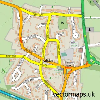
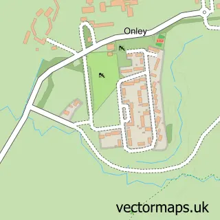
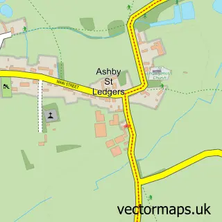
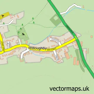
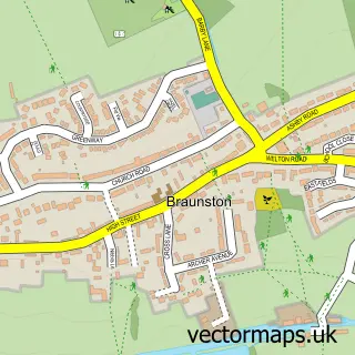
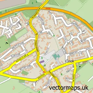
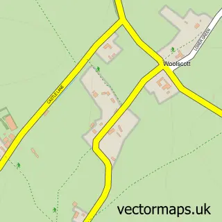
Nearby street map samples around Barby

More street maps in Northamptonshire
750 metre map area coverage
Boundary, postcode and point of interest information for the 750m x 750m rectangle centred on this sample map.
Boundaries containing map centre
Constituency: Daventry Co Const
District: West Northamptonshire
Icb: NHS Northamptonshire ICB
Parish: Barby CP
Police Force: northamptonshire
Postcode District: CV23
Postcode Sector: CV23 8
Ward: Braunston & Crick Ward
Nearby boundaries intersecting sample
No additional intersecting boundaries found.
Postcode coverage
POI category counts
Business Consulting: 3
Landmark And Historical Building: 3
Building Supply Store: 2
Post Office: 2
Appliance Store: 1
Business Management Services: 1
Church Cathedral: 1
Convenience Store: 1
Currency Exchange: 1
Drama School: 1
Sample points of interest
- Classic Range Cookers
- Austin Purdeys Tree Care
- Barby Roofing
- Key Waste Solutions
- Stonebridge HR Consultants
- TDL Enterprises
- Jason Little Carpets & Flooring
- St Mary's Barby
- Barby Village Stores / Post Office
- Post Office Travel Money
- PLAY ON! Theatre Clubs
- Cube Accounting
Create a larger editable map of Barby
This sample shows only a 750 metre area. To create a larger map of Barby, use our map builder to choose your own coverage area, add titles and download editable SVG, PDF and PNG files.
Create a custom map of Barby