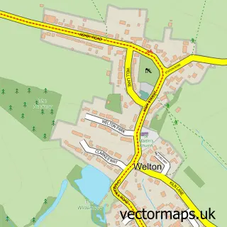
This Braunston street map is a detailed vector street map covering a 750m x 750m area. Select a larger area to create and download your own vector street map of Braunston.
The 750-metre map sample for Braunston covers 335 mapped buildings and approximately 25.7 km of road detail, of which 17 named roads are named. The immediate area includes 1 school, 3 pubs and 2 MOT stations within 2 miles. The wider area around Braunston features 5 food and drink venues. To create a larger or custom map of Braunston, the map builder lets you define your own coverage area and download editable SVG, PDF and PNG files.
Create a larger editable map of Braunston
Choose any area you need and generate a high-quality vector map instantly. Perfect for print, planning, design, business and personal use.

This Braunston street map in Northamptonshire is available as downloadable SVG, PDF and PNG map files, or as a printed map for planning, business, display, education, local information and design work. You can also create a larger custom map area using the map selector.
What this Braunston map sample shows
Braunston lies within Braunston Cp parish, part of Braunston And Welton ward in the West Northamptonshire local authority area. The postcode geography for this area includes the NN postcode area, the NN11 postcode district and the NN11 7 postcode sector. Residents fall under the Nhs Northamptonshire Integrated Care Board for NHS services.
Local features near Braunston
Within 2 milesAmenities and services in and around Braunston.
Administrative and postcode information for Braunston
The local authority covering Braunston is West Northamptonshire, within the county of Northamptonshire. The settlement lies within Braunston And Welton ward and Braunston Cp civil parish. The NN11 postcode district and NN11 7 postcode sector serve the immediate area. NHS provision in the area is delivered through University Hospitals Coventry And Warwickshire Nhs Trust.
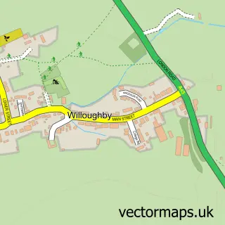
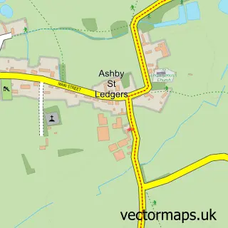
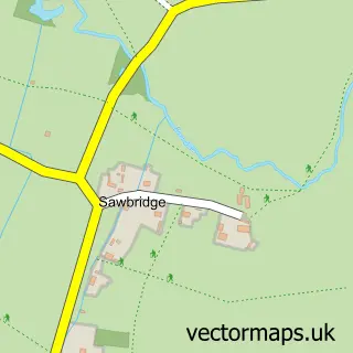
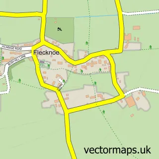
Nearby street map samples around Braunston


More street maps in Northamptonshire
750 metre map area coverage
Boundary, postcode and point of interest information for the 750m x 750m rectangle centred on this sample map.
Boundaries containing map centre
Constituency: Daventry Co Const
District: West Northamptonshire
Icb: NHS Northamptonshire ICB
Parish: Braunston CP
Police Force: northamptonshire
Postcode District: NN11
Postcode Sector: NN11 7
Ward: Braunston & Crick Ward
Nearby boundaries intersecting sample
No additional intersecting boundaries found.
Postcode coverage
POI category counts
Convenience Store: 3
Pub: 3
Business Consulting: 2
Butcher Shop: 2
Rental Services: 2
Scout Hall: 2
Shipping Center: 2
Art Gallery: 1
Arts And Crafts: 1
Automotive Repair: 1
Sample points of interest
- Heather Hindle Artist
- Serendipity Art Studio
- Braunston Garage
- The Beauty Box - Braunston
- Bargain Booze Select Convenience
- Union Canal Carriers
- Braunston Supper Club
- Legacy Business Solutions
- Real Time Release
- The Braunston Family Butcher
- Village Meats
- Braunston Village Community Cafe
Create a larger editable map of Braunston
This sample shows only a 750 metre area. To create a larger map of Braunston, use our map builder to choose your own coverage area, add titles and download editable SVG, PDF and PNG files.
Create a custom map of Braunston