This Flaxton street map is a detailed vector street map covering a 750m x 750m area. Select a larger area to create and download your own vector street map of Flaxton.
The 750-metre map sample for Flaxton covers 141 mapped buildings and approximately 6.0 km of road detail, of which 3 named roads are named. The immediate area includes 1 MOT station within 2 miles. The wider area around Flaxton features 1 campsite within 2 miles. To create a larger or custom map of Flaxton, the map builder lets you define your own coverage area and download editable SVG, PDF and PNG files.
Create a larger editable map of Flaxton
Choose any area you need and generate a high-quality vector map instantly. Perfect for print, planning, design, business and personal use.

This Flaxton street map in North Yorkshire is available as downloadable SVG, PDF and PNG map files, or as a printed map for planning, business, display, education, local information and design work. You can also create a larger custom map area using the map selector.
What this Flaxton map sample shows
Flaxton lies within Flaxton Cp parish, part of Sheriff Hutton ward in the North Yorkshire local authority area. The postcode geography for this area includes the YO postcode area, the YO60 postcode district and the YO60 7 postcode sector. Residents fall under the Nhs Humber And North Yorkshire Integrated Care Board for NHS services.
Local features near Flaxton
Within 2 milesAmenities and services in and around Flaxton.
Administrative and postcode information for Flaxton
The local authority covering Flaxton is North Yorkshire, within the county of North Yorkshire. The settlement lies within Sheriff Hutton ward and Flaxton Cp civil parish. The YO60 postcode district and YO60 7 postcode sector serve the immediate area. NHS provision in the area is delivered through York And Scarborough Teaching Hospitals Nhs Foundation Trust.
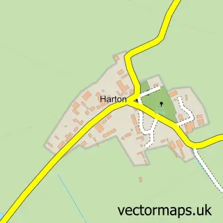
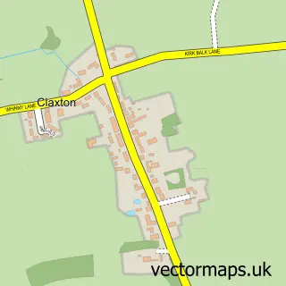
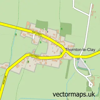
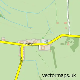
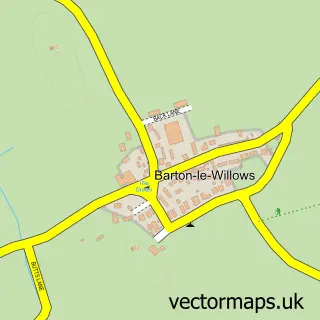
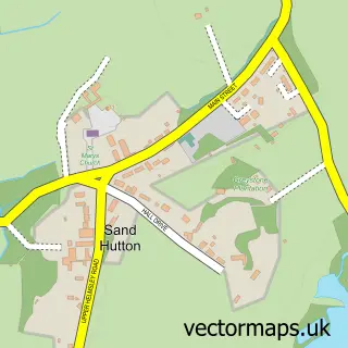
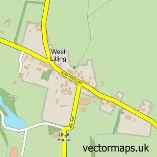
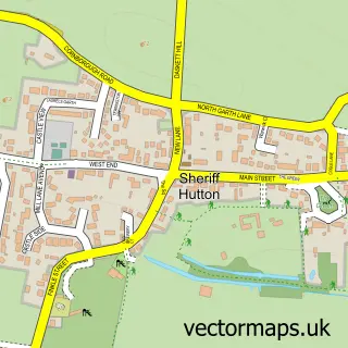
Nearby street map samples around Flaxton


More street maps in North Yorkshire
750 metre map area coverage
Boundary, postcode and point of interest information for the 750m x 750m rectangle centred on this sample map.
Boundaries containing map centre
Constituency: Thirsk and Malton Co Const
District: North Yorkshire
Icb: NHS Humber and North Yorkshire ICB
Parish: Flaxton CP
Police Force: north yorkshire
Postcode District: YO60
Postcode Sector: YO60 7
Nearby boundaries intersecting sample
No additional intersecting boundaries found.
Postcode coverage
POI category counts
Antique Store: 2
Preschool: 2
Anglican Church: 1
Language School: 1
Party Supply: 1
School: 1
Used Vintage And Consignment: 1
Sample points of interest
- St Lawrence
- Elm Tree Antiques
- Keepers Cottage Crafts, Collectables & Antiques
- Linguastars
- Your Marquee Ltd
- Flaxton Childrens Nursery
- Little Green Rascals Children's Day Nursery
- Honey Pots Forest School Flaxton
- Elm Tree Antiques: Elm Tree Antiques
Create a larger editable map of Flaxton
This sample shows only a 750 metre area. To create a larger map of Flaxton, use our map builder to choose your own coverage area, add titles and download editable SVG, PDF and PNG files.
Create a custom map of Flaxton