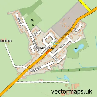
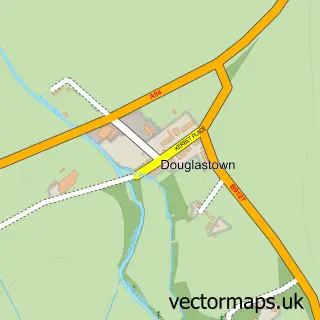
This Forfar street map is a detailed vector street map covering a 750m x 750m area. Select a larger area to create and download your own vector street map of Forfar.
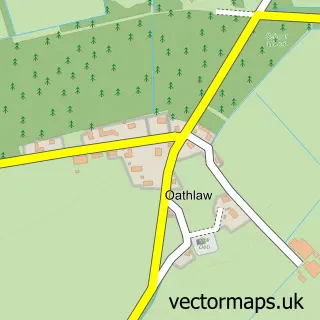
The 750-metre map sample for Forfar covers 176 mapped buildings and approximately 18.8 km of road detail, of which 46 named roads are named. The immediate area includes 3 GP surgeries, 6 pubs and 4 MOT stations, with 10 within 2 miles. The wider area around Forfar features 2 tourism points of interest, 21 food and drink venues and 3 hotels. To create a larger or custom map of Forfar, the map builder lets you define your own coverage area and download editable SVG, PDF and PNG files.
Create a larger editable map of Forfar
Choose any area you need and generate a high-quality vector map instantly. Perfect for print, planning, design, business and personal use.

This Forfar street map in Angus is available as downloadable SVG, PDF and PNG map files, or as a printed map for planning, business, display, education, local information and design work. You can also create a larger custom map area using the map selector.
What this Forfar map sample shows
Forfar lies within Angus parish, part of Forfar And District ward in the Angus local authority area. The postcode geography for this area includes the DD postcode area, the DD8 postcode district and the DD8 2 postcode sector. Residents fall under the Tayside for NHS services.
Local features near Forfar
Within 2 milesAmenities and services in and around Forfar.
Administrative and postcode information for Forfar
Forfar lies within Angus parish, part of Forfar And District ward in the Angus local authority area. The postcode geography for this area includes the DD postcode area, the DD8 postcode district and the DD8 2 postcode sector. Residents fall under the Tayside for NHS services.
Nearby street map samples around Forfar

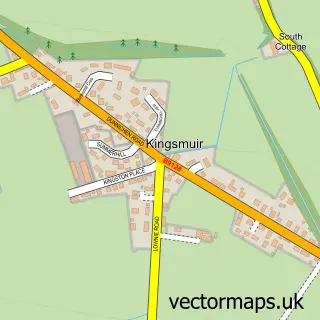
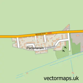
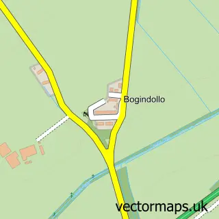
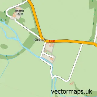
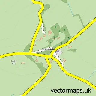
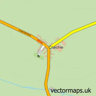
More street maps in Angus
750 metre map area coverage
Boundary, postcode and point of interest information for the 750m x 750m rectangle centred on this sample map.
Boundaries containing map centre
Constituency: Angus and Perthshire Glens Co Const
District: Angus
Icb: Tayside
Postcode District: DD8
Postcode Sector: DD8 2
Ward: Forfar and District Ward
Nearby boundaries intersecting sample
Postcode Sector: DD8 1, DD8 3
Postcode coverage
POI category counts
Fast Food Restaurant: 10
Flowers And Gifts Shop: 10
Bar: 9
Beauty Salon: 9
Automotive Repair: 7
Dentist: 7
Hair Salon: 7
Cafe: 6
Clothing Store: 6
Community Services Non Profits: 6
Sample points of interest
- Johnston Carmichael Chartered Accountants & Business Advisers
- MMG Chartered Accountants
- Harbro Country Store
- British Red Cross
- @Rchitects Scotland Ltd.
- Architect Scotland
- Architects Scotland Ltd.
- The Canvas Art Gallery
- The Meffan Museum & Gallery
- Castle Crafts
- Focus DIY
- Something Different
Create a larger editable map of Forfar
This sample shows only a 750 metre area. To create a larger map of Forfar, use our map builder to choose your own coverage area, add titles and download editable SVG, PDF and PNG files.
Create a custom map of Forfar