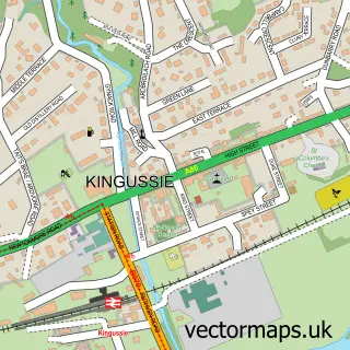
This Fort Augustus street map is a detailed vector street map covering a 750m x 750m area. Select a larger area to create and download your own vector street map of Fort Augustus.
The 750-metre map sample for Fort Augustus covers 101 mapped buildings and approximately 13.7 km of road detail, of which 6 named roads are named. The immediate area includes 1 GP surgery, 4 pubs and 1 MOT station. The wider area around Fort Augustus features 12 tourism points of interest, 7 food and drink venues and 9 hotels. To create a larger or custom map of Fort Augustus, the map builder lets you define your own coverage area and download editable SVG, PDF and PNG files.
Create a larger editable map of Fort Augustus
Choose any area you need and generate a high-quality vector map instantly. Perfect for print, planning, design, business and personal use.

This Fort Augustus street map in Inverness is available as downloadable SVG, PDF and PNG map files, or as a printed map for planning, business, display, education, local information and design work. You can also create a larger custom map area using the map selector.
What this Fort Augustus map sample shows
Fort Augustus lies within Highland parish, part of Aird And Loch Ness ward in the Highland local authority area. The postcode geography for this area includes the PH postcode area, the PH32 postcode district and the PH32 4 postcode sector. Residents fall under the Highland for NHS services.
Local features near Fort Augustus
Within 2 milesAmenities and services in and around Fort Augustus.
Administrative and postcode information for Fort Augustus
The local authority covering Fort Augustus is Highland, within the county of Inverness. The settlement lies within Aird And Loch Ness ward and Highland civil parish. The PH32 postcode district and PH32 4 postcode sector serve the immediate area. NHS provision in the area is delivered through Highland.
Nearby street map samples around Fort Augustus


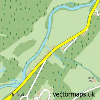
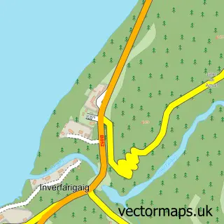
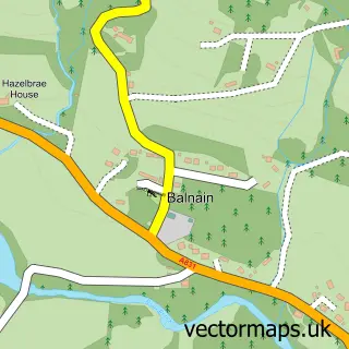
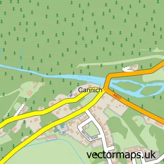
More street maps in Inverness
750 metre map area coverage
Boundary, postcode and point of interest information for the 750m x 750m rectangle centred on this sample map.
Boundaries containing map centre
Constituency: Inverness, Skye and West Ross-shire Co Const
District: Highland
Icb: Highland
Postcode District: PH32
Postcode Sector: PH32 4
Ward: Aird and Loch Ness Ward
Nearby boundaries intersecting sample
Postcode District: IV2
Postcode Sector: IV2 6
Postcode coverage
POI category counts
Bed And Breakfast: 9
Hotel: 9
Holiday Rental Home: 7
Landmark And Historical Building: 7
Pub: 4
Clothing Store: 3
Gas Station: 3
Monument: 3
Rental Services: 3
Accommodation: 2
Sample points of interest
- Abbey Holidays Loch Ness
- Lochside Library
- The Clansman Centre
- Bee Happy Studio
- Clansman Centre
- Great Glen Adventures
- Legionscotland Fortaugustus Scotland
- The Legion
- The Bothy Inn, Fort Augustus By Loch Ness
- Abbey Cottage Bed & Breakfast
- Abbey Cottage Bed & Breakfast, Fort Augustus. Loch Ness
- Abbey Cottage Bed And Breakfast
Create a larger editable map of Fort Augustus
This sample shows only a 750 metre area. To create a larger map of Fort Augustus, use our map builder to choose your own coverage area, add titles and download editable SVG, PDF and PNG files.
Create a custom map of Fort Augustus