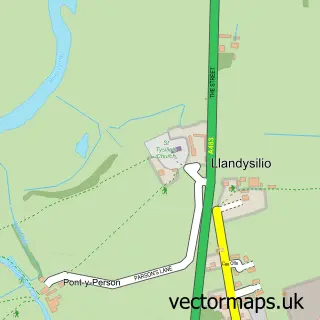
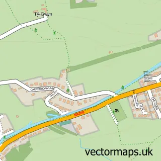
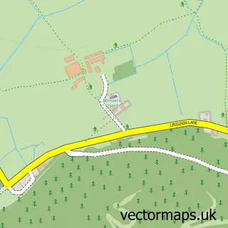
This Four Crosses street map is a detailed vector street map covering a 750m x 750m area. Select a larger area to create and download your own vector street map of Four Crosses.
The 750-metre map sample for Four Crosses covers 219 mapped buildings and approximately 13.6 km of road detail, of which 11 named roads are named. The immediate area includes 1 GP surgery and 1 MOT station. The wider area around Four Crosses features 1 campsite within 2 miles. To create a larger or custom map of Four Crosses, the map builder lets you define your own coverage area and download editable SVG, PDF and PNG files.
Create a larger editable map of Four Crosses
Choose any area you need and generate a high-quality vector map instantly. Perfect for print, planning, design, business and personal use.

This Four Crosses street map in Powys is available as downloadable SVG, PDF and PNG map files, or as a printed map for planning, business, display, education, local information and design work. You can also create a larger custom map area using the map selector.
What this Four Crosses map sample shows
Four Crosses lies within Llandysilio Community parish, part of Llandysilio ward in the Powys - Powys local authority area. The postcode geography for this area includes the SY postcode area, the SY22 postcode district and the SY22 6 postcode sector. Residents fall under the Powys Teaching Health Board for NHS services.
Local features near Four Crosses
Within 2 milesAmenities and services in and around Four Crosses.
Administrative and postcode information for Four Crosses
Four Crosses lies within Llandysilio Community parish, part of Llandysilio ward in the Powys - Powys local authority area. The postcode geography for this area includes the SY postcode area, the SY22 postcode district and the SY22 6 postcode sector. Residents fall under the Powys Teaching Health Board for NHS services.
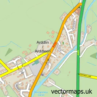
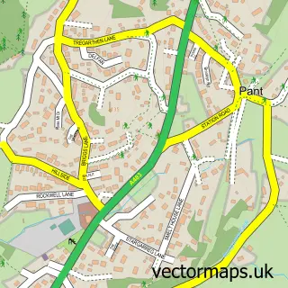
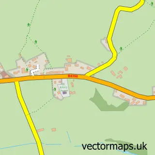
Nearby street map samples around Four Crosses

More street maps in Powys
750 metre map area coverage
Boundary, postcode and point of interest information for the 750m x 750m rectangle centred on this sample map.
Boundaries containing map centre
Constituency: Montgomeryshire and Glyndwr Co Const
District: Powys - Powys
Icb: Powys Teaching
Parish: Llandysilio Community
Police Force: dyfed-powys
Postcode District: SY22
Postcode Sector: SY22 6
Nearby boundaries intersecting sample
No additional intersecting boundaries found.
Postcode coverage
POI category counts
Retail: 4
Building Supply Store: 3
Gas Station: 3
Post Office: 3
Professional Services: 3
Engineering Services: 2
Grocery Store: 2
Scout Hall: 2
Veterinarian: 2
Agricultural Service: 1
Sample points of interest
- Mike Pryce Machinery
- RCM Joinery
- The Hand Weaving Co
- Four Crosses Cakes by Diane Ellis
- Pivotal Plumbing and Heating Limited
- Powys & Marches Stone Supplies
- Studio People
- Owens of Oswestry
- Dave Tomley Commercial Sales
- Specials for Woodturning
- Hughes Caterers
- Northern Industrial Battery Services
Create a larger editable map of Four Crosses
This sample shows only a 750 metre area. To create a larger map of Four Crosses, use our map builder to choose your own coverage area, add titles and download editable SVG, PDF and PNG files.
Create a custom map of Four Crosses