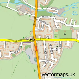
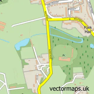
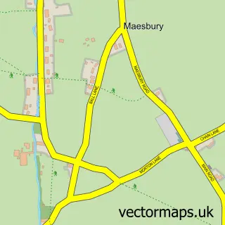
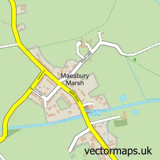
This Oswestry street map is a detailed vector street map covering a 750m x 750m area. Select a larger area to create and download your own vector street map of Oswestry.
The 750-metre map sample for Oswestry covers 401 mapped buildings and approximately 20.3 km of road detail, of which 59 named roads are named. The immediate area includes 2 GP surgeries, with 3 within 2 miles, 21 pubs and 4 MOT stations, with 14 within 2 miles. The wider area around Oswestry features 8 tourism points of interest, 51 food and drink venues and 5 hotels. To create a larger or custom map of Oswestry, the map builder lets you define your own coverage area and download editable SVG, PDF and PNG files.
Create a larger editable map of Oswestry
Choose any area you need and generate a high-quality vector map instantly. Perfect for print, planning, design, business and personal use.

This Oswestry street map in Shropshire is available as downloadable SVG, PDF and PNG map files, or as a printed map for planning, business, display, education, local information and design work. You can also create a larger custom map area using the map selector.
What this Oswestry map sample shows
Oswestry lies within Oswestry Cp parish, part of Oswestry South ward in the Shropshire local authority area. The postcode geography for this area includes the SY postcode area, the SY11 postcode district and the SY11 2 postcode sector. Residents fall under the Nhs Shropshire, Telford And Wrekin Integrated Care Board for NHS services.
Local features near Oswestry
Within 2 milesAmenities and services in and around Oswestry.
Administrative and postcode information for Oswestry
The local authority covering Oswestry is Shropshire, within the county of Shropshire. The settlement lies within Oswestry South ward and Oswestry Cp civil parish. The SY11 postcode district and SY11 2 postcode sector serve the immediate area. NHS provision in the area is delivered through The Shrewsbury And Telford Hospital Nhs Trust.
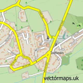
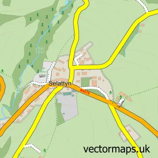
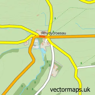
Nearby street map samples around Oswestry

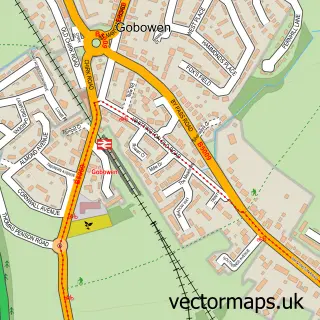
More street maps in Shropshire
750 metre map area coverage
Boundary, postcode and point of interest information for the 750m x 750m rectangle centred on this sample map.
Boundaries containing map centre
Constituency: North Shropshire Co Const
District: Shropshire
Icb: NHS Shropshire Telford and Wrekin ICB
Parish: Oswestry CP
Police Force: west mercia
Postcode District: SY11
Postcode Sector: SY11 1
Nearby boundaries intersecting sample
Postcode Sector: SY11 2
Postcode coverage
POI category counts
Beauty Salon: 34
Pub: 21
Hair Salon: 20
Supermarket: 15
Beauty And Spa: 14
Cafe: 13
Flowers And Gifts Shop: 12
Jewelry Store: 12
Bar: 11
Coffee Shop: 10
Sample points of interest
- Accountant
- Morris Cook
- R W Accounts Ltd.
- TaxAssist Accountants
- TaxAssist Accountants
- Turner Peachey
- Welch & Ellis Accountants
- Coach House Fitness
- Acu-China
- Pop Creative
- The Hollis Office Supply Co
- The Jools Payne Partnership
Create a larger editable map of Oswestry
This sample shows only a 750 metre area. To create a larger map of Oswestry, use our map builder to choose your own coverage area, add titles and download editable SVG, PDF and PNG files.
Create a custom map of Oswestry