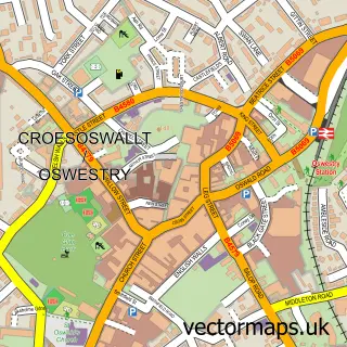
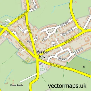
This Gobowen street map is a detailed vector street map covering a 750m x 750m area. Select a larger area to create and download your own vector street map of Gobowen.
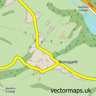
The 750-metre map sample for Gobowen covers 422 mapped buildings and approximately 14.8 km of road detail, of which 28 named roads are named. The immediate area includes 1 railway station, 3 pubs and 1 MOT station, with 7 within 2 miles. The wider area around Gobowen features 5 food and drink venues and 1 hotel. To create a larger or custom map of Gobowen, the map builder lets you define your own coverage area and download editable SVG, PDF and PNG files.
Create a larger editable map of Gobowen
Choose any area you need and generate a high-quality vector map instantly. Perfect for print, planning, design, business and personal use.

This Gobowen street map in Shropshire is available as downloadable SVG, PDF and PNG map files, or as a printed map for planning, business, display, education, local information and design work. You can also create a larger custom map area using the map selector.
What this Gobowen map sample shows
Gobowen lies within Selattyn And Gobowen Cp parish, part of Gobowen, Selattyn And Weston Rhyn ward in the Shropshire local authority area. The postcode geography for this area includes the SY postcode area, the SY11 postcode district and the SY11 3 postcode sector. Residents fall under the Nhs Shropshire, Telford And Wrekin Integrated Care Board for NHS services.
Local features near Gobowen
Within 2 milesAmenities and services in and around Gobowen.
Administrative and postcode information for Gobowen
Gobowen lies within Selattyn And Gobowen Cp parish, part of Gobowen, Selattyn And Weston Rhyn ward in the Shropshire local authority area. The postcode geography for this area includes the SY postcode area, the SY11 postcode district and the SY11 3 postcode sector. Residents fall under the Nhs Shropshire, Telford And Wrekin Integrated Care Board for NHS services.
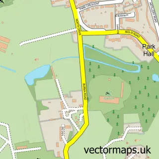
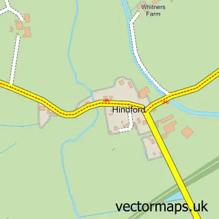
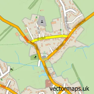
Nearby street map samples around Gobowen

More street maps in Shropshire
750 metre map area coverage
Boundary, postcode and point of interest information for the 750m x 750m rectangle centred on this sample map.
Boundaries containing map centre
Constituency: North Shropshire Co Const
District: Shropshire
Icb: NHS Shropshire Telford and Wrekin ICB
Parish: Selattyn and Gobowen CP
Police Force: west mercia
Postcode District: SY11
Postcode Sector: SY11 3
Nearby boundaries intersecting sample
Postcode District: SY10
Postcode Sector: SY10 7
Postcode coverage
POI category counts
Pub: 3
Atms: 2
Coffee Shop: 2
Train Station: 2
Accountant: 1
Appliance Repair Service: 1
Asian Restaurant: 1
Assisted Living Facility: 1
Automotive Repair: 1
Bakery: 1
Sample points of interest
- Elliott & Co
- D.P. Lewis
- Dragon Boat
- Old Vicarage Nursing Home
- ATM (Post Office)
- The Cooperative Food Gobowen, Gobowen
- Gobowen Autocare Ltd
- The Cake Parade ~ Oswestry
- Whistles
- JoFo Beauty
- Arundel House
- Greenfields Energy Ltd.
Create a larger editable map of Gobowen
This sample shows only a 750 metre area. To create a larger map of Gobowen, use our map builder to choose your own coverage area, add titles and download editable SVG, PDF and PNG files.
Create a custom map of Gobowen