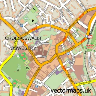
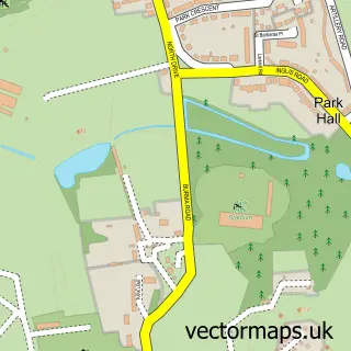
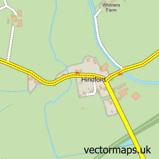
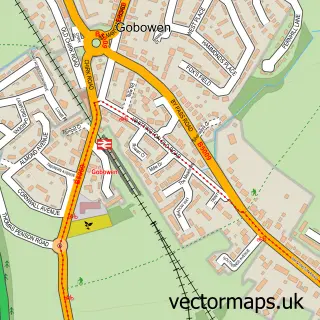
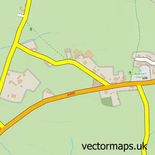
This Whittington street map is a detailed vector street map covering a 750m x 750m area. Select a larger area to create and download your own vector street map of Whittington.
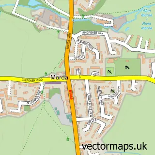
The 750-metre map sample for Whittington covers 265 mapped buildings and approximately 8.2 km of road detail, of which 15 named roads are named. The immediate area includes 3 pubs and 4 MOT stations within 2 miles. The wider area around Whittington features 2 tourism points of interest and 3 food and drink venues. To create a larger or custom map of Whittington, the map builder lets you define your own coverage area and download editable SVG, PDF and PNG files.
Create a larger editable map of Whittington
Choose any area you need and generate a high-quality vector map instantly. Perfect for print, planning, design, business and personal use.

This Whittington street map in Shropshire is available as downloadable SVG, PDF and PNG map files, or as a printed map for planning, business, display, education, local information and design work. You can also create a larger custom map area using the map selector.
What this Whittington map sample shows
Whittington lies within Whittington Cp parish, part of Whittington ward in the Shropshire local authority area. The postcode geography for this area includes the SY postcode area, the SY11 postcode district and the SY11 4 postcode sector. Residents fall under the Nhs Shropshire, Telford And Wrekin Integrated Care Board for NHS services.
Local features near Whittington
Within 2 milesAmenities and services in and around Whittington.
Administrative and postcode information for Whittington
Whittington lies within Whittington Cp parish, part of Whittington ward in the Shropshire local authority area. The postcode geography for this area includes the SY postcode area, the SY11 postcode district and the SY11 4 postcode sector. Residents fall under the Nhs Shropshire, Telford And Wrekin Integrated Care Board for NHS services.
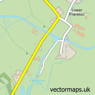
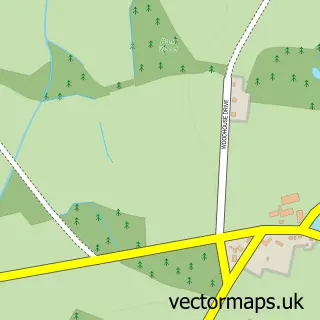
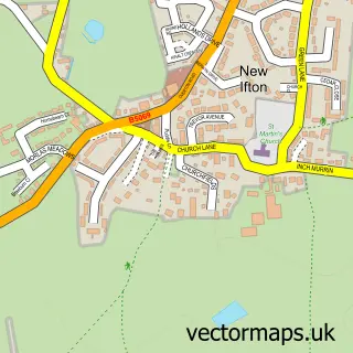
Nearby street map samples around Whittington

More street maps in Shropshire
750 metre map area coverage
Boundary, postcode and point of interest information for the 750m x 750m rectangle centred on this sample map.
Boundaries containing map centre
Constituency: North Shropshire Co Const
District: Shropshire
Icb: NHS Shropshire Telford and Wrekin ICB
Parish: Whittington CP
Police Force: west mercia
Postcode District: SY11
Postcode Sector: SY11 4
Nearby boundaries intersecting sample
No additional intersecting boundaries found.
Postcode coverage
POI category counts
Church Cathedral: 3
Pub: 3
Castle: 2
Driving School: 2
Accountant: 1
Alternative Medicine: 1
Anglican Church: 1
Assisted Living Facility: 1
Bed And Breakfast: 1
Building Contractor: 1
Sample points of interest
- Hudson Chartered Accountant and Business Advisor
- Penycoed Healing Centre
- St John the Baptist, Whittington
- Gracelands
- Fitzwarine House
- Cockshutt Windows
- Official Whittington Castle
- Whittington Castle Preservation Trust
- St John the Baptist's Church
- St. John the Baptist Church
- Whittington Parish Church
- Cosmetics Direct 2U
Create a larger editable map of Whittington
This sample shows only a 750 metre area. To create a larger map of Whittington, use our map builder to choose your own coverage area, add titles and download editable SVG, PDF and PNG files.
Create a custom map of Whittington