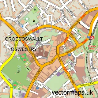
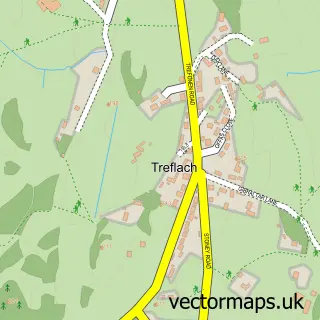
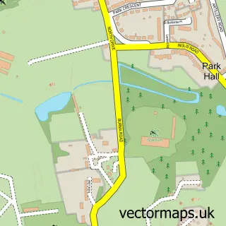
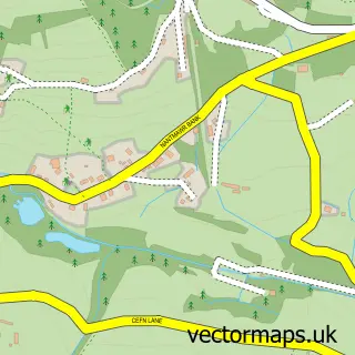
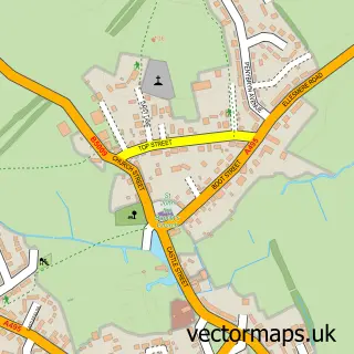
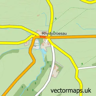
This Morda street map is a detailed vector street map covering a 750m x 750m area. Select a larger area to create and download your own vector street map of Morda.
The 750-metre map sample for Morda covers 289 mapped buildings and approximately 10.4 km of road detail, of which 18 named roads are named. The immediate area includes 1 school, 3 GP surgeries within 2 miles and 13 MOT stations within 2 miles. The wider area around Morda features 1 tourism point of interest and 1 campsite within 2 miles. To create a larger or custom map of Morda, the map builder lets you define your own coverage area and download editable SVG, PDF and PNG files.
Create a larger editable map of Morda
Choose any area you need and generate a high-quality vector map instantly. Perfect for print, planning, design, business and personal use.

This Morda street map in Shropshire is available as downloadable SVG, PDF and PNG map files, or as a printed map for planning, business, display, education, local information and design work. You can also create a larger custom map area using the map selector.
What this Morda map sample shows
Morda lies within Oswestry Rural Cp parish, part of St Oswald ward in the Shropshire local authority area. The postcode geography for this area includes the SY postcode area, the SY10 postcode district and the SY10 9 postcode sector. Residents fall under the Nhs Shropshire, Telford And Wrekin Integrated Care Board for NHS services.
Local features near Morda
Within 2 milesAmenities and services in and around Morda.
Administrative and postcode information for Morda
Morda lies within Oswestry Rural Cp parish, part of St Oswald ward in the Shropshire local authority area. The postcode geography for this area includes the SY postcode area, the SY10 postcode district and the SY10 9 postcode sector. Residents fall under the Nhs Shropshire, Telford And Wrekin Integrated Care Board for NHS services.
Nearby street map samples around Morda

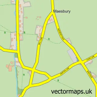
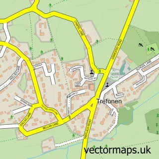
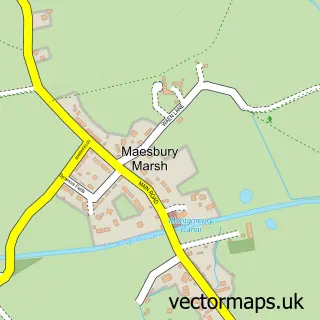
More street maps in Shropshire
750 metre map area coverage
Boundary, postcode and point of interest information for the 750m x 750m rectangle centred on this sample map.
Boundaries containing map centre
Constituency: North Shropshire Co Const
District: Shropshire
Icb: NHS Shropshire Telford and Wrekin ICB
Parish: Oswestry Rural CP
Police Force: west mercia
Postcode District: SY10
Postcode Sector: SY10 9
Nearby boundaries intersecting sample
No additional intersecting boundaries found.
Postcode coverage
POI category counts
Retirement Home: 3
Elementary School: 2
Atms: 1
Automotive: 1
Automotive Parts And Accessories: 1
Bar: 1
Building Supply Store: 1
Carpet Cleaning: 1
Freight And Cargo Service: 1
Gym: 1
Sample points of interest
- PayPoint
- John Kendrick-Jones & Company
- SWS Garage Equipment
- Miners Arms Oswestry
- Blinds 2 U
- Carpet King
- Morda Primary Church of England School
- Stepping Stones Nursery
- Primor Freight
- The Lion Quays
- Morda
- D G Roberts Landscaping And Building
Create a larger editable map of Morda
This sample shows only a 750 metre area. To create a larger map of Morda, use our map builder to choose your own coverage area, add titles and download editable SVG, PDF and PNG files.
Create a custom map of Morda