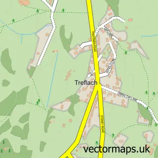
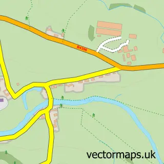
This Trefonen street map is a detailed vector street map covering a 750m x 750m area. Select a larger area to create and download your own vector street map of Trefonen.
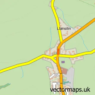
The 750-metre map sample for Trefonen covers 259 mapped buildings and approximately 12.7 km of road detail, of which 23 named roads are named. The immediate area includes 1 school, 1 pub and 1 MOT station within 2 miles. The wider area around Trefonen features 2 food and drink venues and 1 hotel. To create a larger or custom map of Trefonen, the map builder lets you define your own coverage area and download editable SVG, PDF and PNG files.
Create a larger editable map of Trefonen
Choose any area you need and generate a high-quality vector map instantly. Perfect for print, planning, design, business and personal use.

This Trefonen street map in Shropshire is available as downloadable SVG, PDF and PNG map files, or as a printed map for planning, business, display, education, local information and design work. You can also create a larger custom map area using the map selector.
What this Trefonen map sample shows
Trefonen lies within Oswestry Rural Cp parish, part of St Oswald ward in the Shropshire local authority area. The postcode geography for this area includes the SY postcode area, the SY10 postcode district and the SY10 9 postcode sector. Residents fall under the Nhs Shropshire, Telford And Wrekin Integrated Care Board for NHS services.
Local features near Trefonen
Within 2 milesAmenities and services in and around Trefonen.
Administrative and postcode information for Trefonen
Trefonen lies within Oswestry Rural Cp parish, part of St Oswald ward in the Shropshire local authority area. The postcode geography for this area includes the SY postcode area, the SY10 postcode district and the SY10 9 postcode sector. Residents fall under the Nhs Shropshire, Telford And Wrekin Integrated Care Board for NHS services.
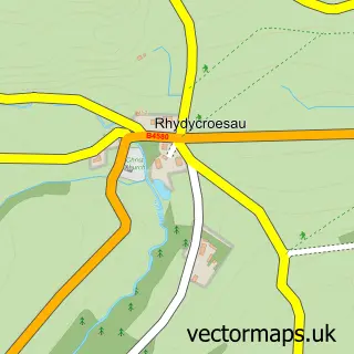
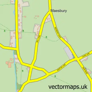
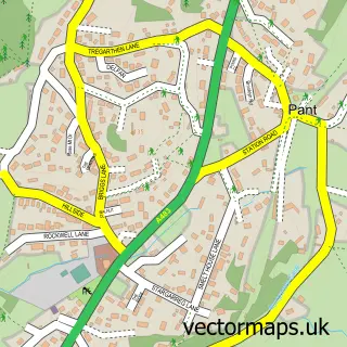
Nearby street map samples around Trefonen
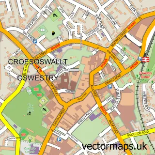

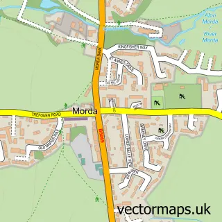
More street maps in Shropshire
750 metre map area coverage
Boundary, postcode and point of interest information for the 750m x 750m rectangle centred on this sample map.
Boundaries containing map centre
Constituency: North Shropshire Co Const
District: Shropshire
Icb: NHS Shropshire Telford and Wrekin ICB
Parish: Oswestry Rural CP
Police Force: west mercia
Postcode District: SY10
Postcode Sector: SY10 9
Nearby boundaries intersecting sample
No additional intersecting boundaries found.
Postcode coverage
POI category counts
Building Supply Store: 2
Amateur Sports Team: 1
Anglican Church: 1
Beauty And Spa: 1
Beauty Salon: 1
Cafe: 1
Church Cathedral: 1
Convenience Store: 1
Day Care Preschool: 1
Elementary School: 1
Sample points of interest
- Trefonen FC
- Trefonen, All Saints'
- Compact Claire
- Hair by Wendy
- Able Home Improvements
- Reg Lawrence Roofing
- The Community Cafe
- Trefonen Parish Church
- Post Office
- Explorers at Trefonen
- Trefonen Preschool
- Lynstead Lodge
Create a larger editable map of Trefonen
This sample shows only a 750 metre area. To create a larger map of Trefonen, use our map builder to choose your own coverage area, add titles and download editable SVG, PDF and PNG files.
Create a custom map of Trefonen