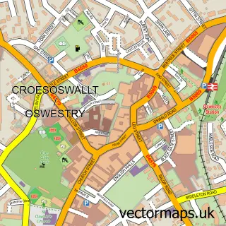
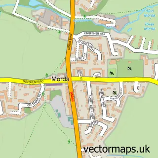
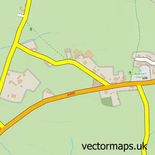
This Park Hall street map is a detailed vector street map covering a 750m x 750m area. Select a larger area to create and download your own vector street map of Park Hall.
The 750-metre map sample for Park Hall covers 126 mapped buildings and approximately 6.6 km of road detail, of which 8 named roads are named. The immediate area includes 3 GP surgeries within 2 miles and 13 MOT stations within 2 miles. The wider area around Park Hall features 1 tourism point of interest. To create a larger or custom map of Park Hall, the map builder lets you define your own coverage area and download editable SVG, PDF and PNG files.
Create a larger editable map of Park Hall
Choose any area you need and generate a high-quality vector map instantly. Perfect for print, planning, design, business and personal use.

This Park Hall street map in Shropshire is available as downloadable SVG, PDF and PNG map files, or as a printed map for planning, business, display, education, local information and design work. You can also create a larger custom map area using the map selector.
What this Park Hall map sample shows
Park Hall lies within Whittington Cp parish, part of Whittington ward in the Shropshire local authority area. The postcode geography for this area includes the SY postcode area, the SY11 postcode district and the SY11 4 postcode sector. Residents fall under the Nhs Shropshire, Telford And Wrekin Integrated Care Board for NHS services.
Local features near Park Hall
Within 2 milesAmenities and services in and around Park Hall.
Administrative and postcode information for Park Hall
Park Hall lies within Whittington Cp parish, part of Whittington ward in the Shropshire local authority area. The postcode geography for this area includes the SY postcode area, the SY11 postcode district and the SY11 4 postcode sector. Residents fall under the Nhs Shropshire, Telford And Wrekin Integrated Care Board for NHS services.
Nearby street map samples around Park Hall

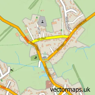
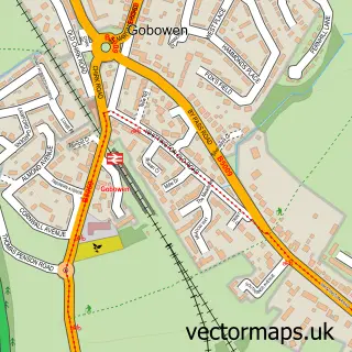
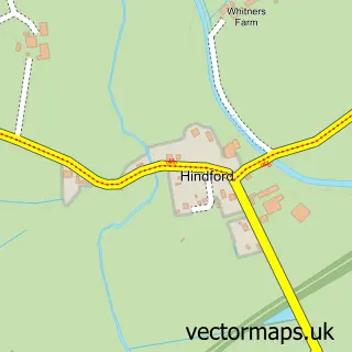
More street maps in Shropshire
750 metre map area coverage
Boundary, postcode and point of interest information for the 750m x 750m rectangle centred on this sample map.
Boundaries containing map centre
Constituency: North Shropshire Co Const
District: Shropshire
Icb: NHS Shropshire Telford and Wrekin ICB
Parish: Whittington CP
Police Force: west mercia
Postcode District: SY11
Postcode Sector: SY11 4
Nearby boundaries intersecting sample
No additional intersecting boundaries found.
Postcode coverage
POI category counts
Sports Club And League: 4
Accommodation: 1
Alternative Medicine: 1
Building Supply Store: 1
Community Services Non Profits: 1
Event Planning: 1
Farm: 1
Fitness Exercise Equipment: 1
Furniture Store: 1
Machine And Tool Rentals: 1
Sample points of interest
- The Venue
- Rahanni-Reflex Healing Therapies
- Edwards T D & Son
- Whittington & Oswestry YFC
- The Venue
- Park Hall The Countryside Experience
- Boutique Gyms
- Furniture For Life
- North Shropshire Scaffolding
- Hall Park Farm Adventure
- parkhallforestschool
- Peoples Voice Media
Create a larger editable map of Park Hall
This sample shows only a 750 metre area. To create a larger map of Park Hall, use our map builder to choose your own coverage area, add titles and download editable SVG, PDF and PNG files.
Create a custom map of Park Hall