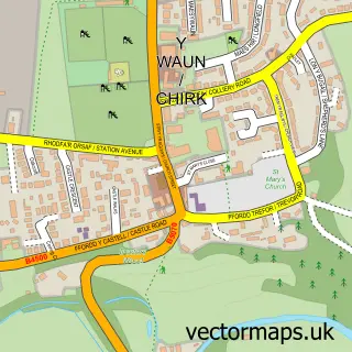
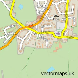
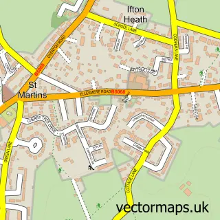
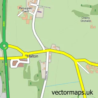
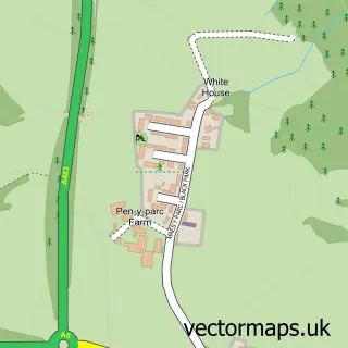
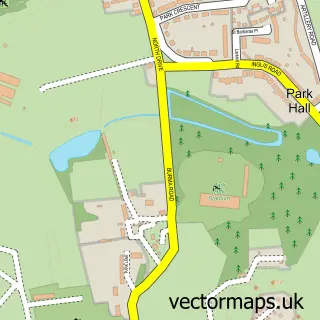
This Weston Rhyn street map is a detailed vector street map covering a 750m x 750m area. Select a larger area to create and download your own vector street map of Weston Rhyn.
The 750-metre map sample for Weston Rhyn covers 288 mapped buildings and approximately 15.8 km of road detail, of which 15 named roads are named. The immediate area includes 2 pubs and 5 MOT stations within 2 miles. The wider area around Weston Rhyn features 3 food and drink venues and 1 campsite within 2 miles. To create a larger or custom map of Weston Rhyn, the map builder lets you define your own coverage area and download editable SVG, PDF and PNG files.
Create a larger editable map of Weston Rhyn
Choose any area you need and generate a high-quality vector map instantly. Perfect for print, planning, design, business and personal use.

This Weston Rhyn street map in Shropshire is available as downloadable SVG, PDF and PNG map files, or as a printed map for planning, business, display, education, local information and design work. You can also create a larger custom map area using the map selector.
What this Weston Rhyn map sample shows
Weston Rhyn lies within Weston Rhyn Cp parish, part of Gobowen, Selattyn And Weston Rhyn ward in the Shropshire local authority area. The postcode geography for this area includes the SY postcode area, the SY10 postcode district and the SY10 7 postcode sector. Residents fall under the Nhs Shropshire, Telford And Wrekin Integrated Care Board for NHS services.
Local features near Weston Rhyn
Within 2 milesAmenities and services in and around Weston Rhyn.
Administrative and postcode information for Weston Rhyn
Weston Rhyn lies within Weston Rhyn Cp parish, part of Gobowen, Selattyn And Weston Rhyn ward in the Shropshire local authority area. The postcode geography for this area includes the SY postcode area, the SY10 postcode district and the SY10 7 postcode sector. Residents fall under the Nhs Shropshire, Telford And Wrekin Integrated Care Board for NHS services.
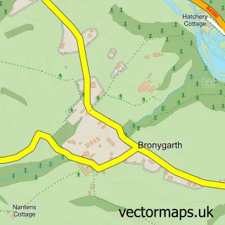
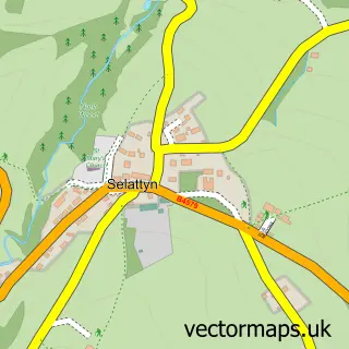
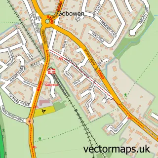
Nearby street map samples around Weston Rhyn

More street maps in Shropshire
750 metre map area coverage
Boundary, postcode and point of interest information for the 750m x 750m rectangle centred on this sample map.
Boundaries containing map centre
Constituency: North Shropshire Co Const
District: Shropshire
Icb: NHS Shropshire Telford and Wrekin ICB
Parish: Weston Rhyn CP
Police Force: west mercia
Postcode District: SY10
Postcode Sector: SY10 7
Nearby boundaries intersecting sample
No additional intersecting boundaries found.
Postcode coverage
POI category counts
Pub: 2
Roofing: 2
Shipping Center: 2
Anglican Church: 1
Bakery: 1
Building Contractor: 1
Business Consulting: 1
Chinese Restaurant: 1
Church Cathedral: 1
Construction Services: 1
Sample points of interest
- St. Johns Weston Rhyn
- Creative Cakes by Carole
- Skylark Blinds
- The Management Advisory Service
- Wong Wong Takeaway
- St Johns Weston Rhyn
- I Gwilliam & Sons Ltd
- Jones Brothers Weston Rhyn
- Weston Rhyn Stores
- PH Window Cleaning Services
- Andy Duggin Plumbing & Heating
- Abel Locksmiths
Create a larger editable map of Weston Rhyn
This sample shows only a 750 metre area. To create a larger map of Weston Rhyn, use our map builder to choose your own coverage area, add titles and download editable SVG, PDF and PNG files.
Create a custom map of Weston Rhyn