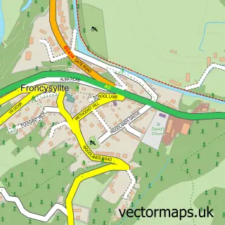
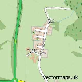
This Bronygarth street map is a detailed vector street map covering a 750m x 750m area. Select a larger area to create and download your own vector street map of Bronygarth.
The 750-metre map sample for Bronygarth covers 69 mapped buildings and approximately 10.3 km of road detail. The immediate area includes 3 MOT stations within 2 miles. The wider area around Bronygarth features 2 tourism points of interest, 1 hotel and 1 campsite within 2 miles. To create a larger or custom map of Bronygarth, the map builder lets you define your own coverage area and download editable SVG, PDF and PNG files.
Create a larger editable map of Bronygarth
Choose any area you need and generate a high-quality vector map instantly. Perfect for print, planning, design, business and personal use.

This Bronygarth street map in Shropshire is available as downloadable SVG, PDF and PNG map files, or as a printed map for planning, business, display, education, local information and design work. You can also create a larger custom map area using the map selector.
What this Bronygarth map sample shows
Bronygarth lies within Weston Rhyn Cp parish, part of Gobowen, Selattyn And Weston Rhyn ward in the Shropshire local authority area. The postcode geography for this area includes the SY postcode area, the SY10 postcode district and the SY10 7 postcode sector. Residents fall under the Nhs Shropshire, Telford And Wrekin Integrated Care Board for NHS services.
Local features near Bronygarth
Within 2 milesAmenities and services in and around Bronygarth.
Administrative and postcode information for Bronygarth
The local authority covering Bronygarth is Shropshire, within the county of Shropshire. The settlement lies within Gobowen, Selattyn And Weston Rhyn ward and Weston Rhyn Cp civil parish. The SY10 postcode district and SY10 7 postcode sector serve the immediate area. NHS provision in the area is delivered through The Shrewsbury And Telford Hospital Nhs Trust.
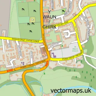
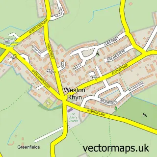
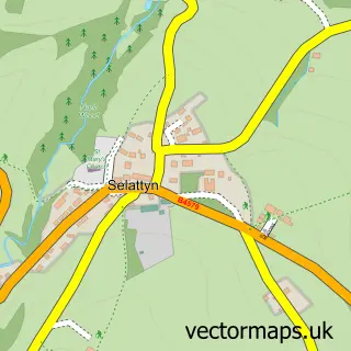
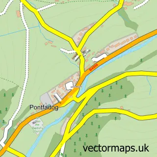
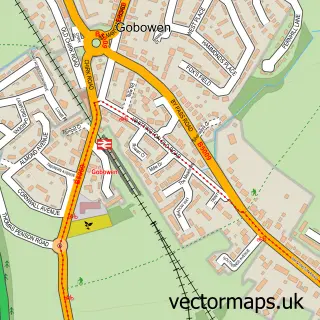
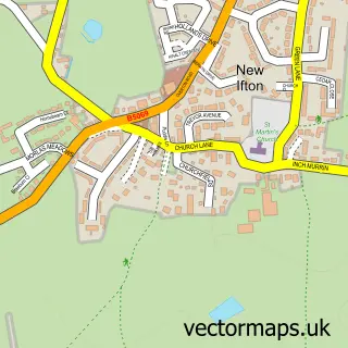
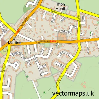
Nearby street map samples around Bronygarth

More street maps in Shropshire
750 metre map area coverage
Boundary, postcode and point of interest information for the 750m x 750m rectangle centred on this sample map.
Boundaries containing map centre
Constituency: North Shropshire Co Const
District: Shropshire
Icb: NHS Shropshire Telford and Wrekin ICB
Parish: Weston Rhyn CP
Police Force: west mercia
Postcode District: SY10
Postcode Sector: SY10 7
Nearby boundaries intersecting sample
Constituency: Montgomeryshire and Glyndwr Co Const
District: Wrecsam - Wrexham
Icb: Betsi Cadwaladr University
Parish: Chirk Community
Police Force: north wales
Postcode District: LL14
Postcode Sector: LL14 5
Postcode coverage
POI category counts
Butcher Shop: 1
Hotel: 1
Landmark And Historical Building: 1
Park: 1
Sports Club And League: 1
Sample points of interest
- Offas Dyke Farm
- Brookside Manor House
- Bronygarth
- Brookside Leisure Park
- Brookside Squash and Gym - Oswestry
Create a larger editable map of Bronygarth
This sample shows only a 750 metre area. To create a larger map of Bronygarth, use our map builder to choose your own coverage area, add titles and download editable SVG, PDF and PNG files.
Create a custom map of Bronygarth