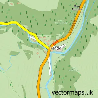
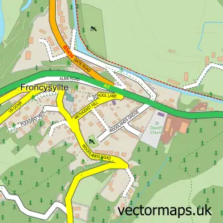
This Llwynmawr street map is a detailed vector street map covering a 750m x 750m area. Select a larger area to create and download your own vector street map of Llwynmawr.
The 750-metre map sample for Llwynmawr covers 106 mapped buildings and approximately 16.2 km of road detail, of which 4 named roads are named. The immediate area includes 1 GP surgery within 2 miles. The wider area around Llwynmawr features 1 tourism point of interest, 1 hotel and 2 campsites within 2 miles. To create a larger or custom map of Llwynmawr, the map builder lets you define your own coverage area and download editable SVG, PDF and PNG files.
Create a larger editable map of Llwynmawr
Choose any area you need and generate a high-quality vector map instantly. Perfect for print, planning, design, business and personal use.

This Llwynmawr street map in Clwyd is available as downloadable SVG, PDF and PNG map files, or as a printed map for planning, business, display, education, local information and design work. You can also create a larger custom map area using the map selector.
What this Llwynmawr map sample shows
Llwynmawr lies within Glyntraian Community parish, part of Dyffryn Ceiriog/Ceiriog Valley ward in the Wrecsam - Wrexham local authority area. The postcode geography for this area includes the LL postcode area, the LL20 postcode district and the LL20 7 postcode sector. Residents fall under the Betsi Cadwaladr University Health Board for NHS services.
Local features near Llwynmawr
Within 2 milesAmenities and services in and around Llwynmawr.
Administrative and postcode information for Llwynmawr
The local authority covering Llwynmawr is Wrecsam - Wrexham, within the county of Clwyd. The settlement lies within Dyffryn Ceiriog/Ceiriog Valley ward and Glyntraian Community civil parish. The LL20 postcode district and LL20 7 postcode sector serve the immediate area. NHS provision in the area is delivered through Betsi Cadwaladr University Health Board.
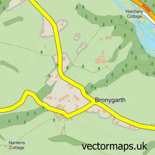
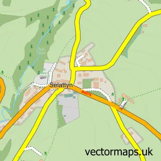
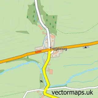
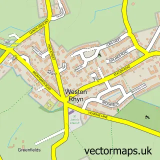
Nearby street map samples around Llwynmawr

More street maps in Clwyd
750 metre map area coverage
Boundary, postcode and point of interest information for the 750m x 750m rectangle centred on this sample map.
Boundaries containing map centre
Constituency: Montgomeryshire and Glyndwr Co Const
District: Wrecsam - Wrexham
Icb: Betsi Cadwaladr University
Parish: Glyntraian Community
Police Force: north wales
Postcode District: LL20
Postcode Sector: LL20 7
Nearby boundaries intersecting sample
No additional intersecting boundaries found.
Postcode coverage
POI category counts
Retirement Home: 2
Driving School: 1
Holiday Rental Home: 1
Hotel: 1
Inn: 1
Music Venue: 1
Tours: 1
Weight Loss Center: 1
Sample points of interest
- Learn with Adam Driving School
- Ysgubor Celyn Megan
- The Golden Pheasant
- Mulberry Inn
- Oliver Jones memorial hall events page
- Dolywern
- Leonard Cheshire Disability
- Key Stage Travel
- Weight Watchers
Create a larger editable map of Llwynmawr
This sample shows only a 750 metre area. To create a larger map of Llwynmawr, use our map builder to choose your own coverage area, add titles and download editable SVG, PDF and PNG files.
Create a custom map of Llwynmawr