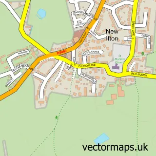
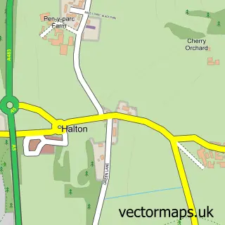
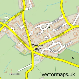
This Ifton Heath street map is a detailed vector street map covering a 750m x 750m area. Select a larger area to create and download your own vector street map of Ifton Heath.
The 750-metre map sample for Ifton Heath covers 495 mapped buildings and approximately 15.9 km of road detail, of which 26 named roads are named. The immediate area includes 1 MOT station, with 4 within 2 miles. To create a larger or custom map of Ifton Heath, the map builder lets you define your own coverage area and download editable SVG, PDF and PNG files.
Create a larger editable map of Ifton Heath
Choose any area you need and generate a high-quality vector map instantly. Perfect for print, planning, design, business and personal use.

This Ifton Heath street map in Shropshire is available as downloadable SVG, PDF and PNG map files, or as a printed map for planning, business, display, education, local information and design work. You can also create a larger custom map area using the map selector.
What this Ifton Heath map sample shows
Ifton Heath lies within St. Martin's Cp parish, part of St Martin's ward in the Shropshire local authority area. The postcode geography for this area includes the SY postcode area, the SY11 postcode district and the SY11 3 postcode sector. Residents fall under the Nhs Shropshire, Telford And Wrekin Integrated Care Board for NHS services.
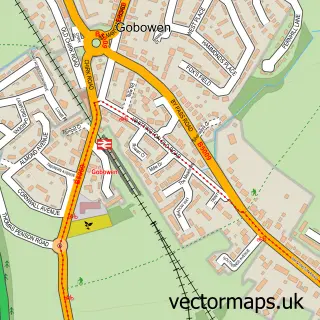
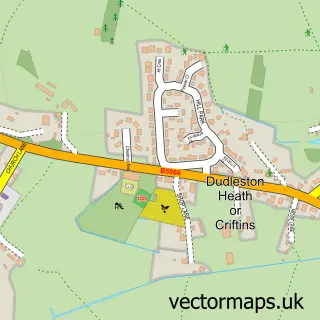
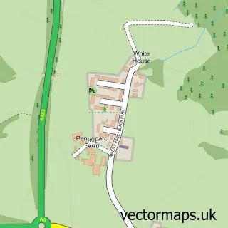
Local features near Ifton Heath
Within 2 milesAmenities and services in and around Ifton Heath.
Administrative and postcode information for Ifton Heath
The local authority covering Ifton Heath is Shropshire, within the county of Shropshire. The settlement lies within St Martin's ward and St. Martin's Cp civil parish. The SY11 postcode district and SY11 3 postcode sector serve the immediate area. NHS provision in the area is delivered through The Shrewsbury And Telford Hospital Nhs Trust.
Nearby street map samples around Ifton Heath
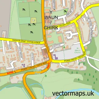

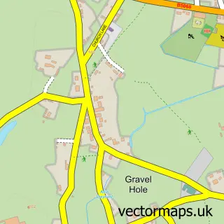
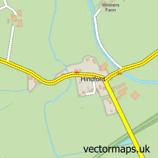
More street maps in Shropshire
750 metre map area coverage
Boundary, postcode and point of interest information for the 750m x 750m rectangle centred on this sample map.
Boundaries containing map centre
Constituency: North Shropshire Co Const
District: Shropshire
Icb: NHS Shropshire Telford and Wrekin ICB
Parish: St. Martin's CP
Police Force: west mercia
Postcode District: SY11
Postcode Sector: SY11 3
Nearby boundaries intersecting sample
No additional intersecting boundaries found.
Postcode coverage
POI category counts
Airport Shuttles: 2
Church Cathedral: 2
Hair Salon: 2
Alternative Medicine: 1
Audiovisual Equipment Rental: 1
Automotive Repair: 1
Automotive Services And Repair: 1
Beauty Salon: 1
Business: 1
Charity Organization: 1
Sample points of interest
- Col's Airport Transfers
- Col's Private Hire, Airport Transfers
- Pretty Vintage Holistic & Spiritual Therapies
- Ridgway Rentals Ltd.
- DSK wraps and alloy referbs
- Shropshire Chauffeurs Ltd
- Silhouette
- Havenshire Ltd
- Age UK St Martins Day Centre
- BJs Bottled Gas Supplies
- Saint Martin's Methodist Church
- St. Martins Parish Church, Shropshire
Create a larger editable map of Ifton Heath
This sample shows only a 750 metre area. To create a larger map of Ifton Heath, use our map builder to choose your own coverage area, add titles and download editable SVG, PDF and PNG files.
Create a custom map of Ifton Heath