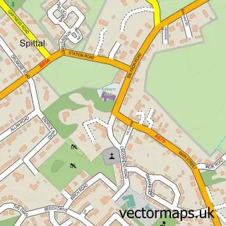
This Gartmore street map is a detailed vector street map covering a 750m x 750m area. Select a larger area to create and download your own vector street map of Gartmore.
The 750-metre map sample for Gartmore covers 114 mapped buildings and approximately 7.3 km of road detail, of which 4 named roads are named. The immediate area includes 1 pub. The wider area around Gartmore features 1 food and drink venue, 1 hotel and 2 campsites within 2 miles. To create a larger or custom map of Gartmore, the map builder lets you define your own coverage area and download editable SVG, PDF and PNG files.
Create a larger editable map of Gartmore
Choose any area you need and generate a high-quality vector map instantly. Perfect for print, planning, design, business and personal use.

This Gartmore street map in Stirling and Falkirk is available as downloadable SVG, PDF and PNG map files, or as a printed map for planning, business, display, education, local information and design work. You can also create a larger custom map area using the map selector.
What this Gartmore map sample shows
Gartmore lies within Stirling parish, part of Trossachs And Teith ward in the Stirling local authority area. The postcode geography for this area includes the FK postcode area, the FK8 postcode district and the FK8 3 postcode sector. Residents fall under the Forth Valley for NHS services.
Local features near Gartmore
Within 2 milesAmenities and services in and around Gartmore.
Administrative and postcode information for Gartmore
The local authority covering Gartmore is Stirling, within the county of Stirling And Falkirk. The settlement lies within Trossachs And Teith ward and Stirling civil parish. The FK8 postcode district and FK8 3 postcode sector serve the immediate area. NHS provision in the area is delivered through Forth Valley.
Nearby street map samples around Gartmore
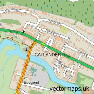

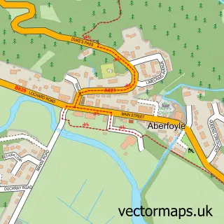
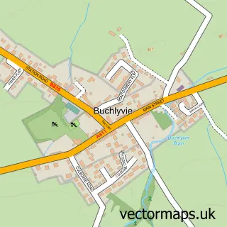
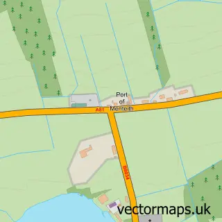
More street maps in Stirling and Falkirk
750 metre map area coverage
Boundary, postcode and point of interest information for the 750m x 750m rectangle centred on this sample map.
Boundaries containing map centre
Constituency: Stirling and Strathallan Co Const
District: Stirling
Icb: Forth Valley
Postcode District: FK8
Postcode Sector: FK8 3
Ward: Trossachs and Teith Ward
Nearby boundaries intersecting sample
No additional intersecting boundaries found.
Postcode coverage
POI category counts
Bed And Breakfast: 2
Community Center: 1
Elementary School: 1
Grocery Store: 1
Hotel: 1
Information Technology Company: 1
Monument: 1
Printing Services: 1
Professional Services: 1
Pub: 1
Sample points of interest
- Gartmore B'n'B
- Old Manse Gartmore
- Gartmore Village Hall
- Craigmore Centre
- The Village Shop
- Black Bull Hotel Gartmore
- Banjo Design
- Cunninghame Graham Memorial
- The Ice Kids
- Ashley Coombes Photography
- The Black Bull
- Post Office-Gartmore
Create a larger editable map of Gartmore
This sample shows only a 750 metre area. To create a larger map of Gartmore, use our map builder to choose your own coverage area, add titles and download editable SVG, PDF and PNG files.
Create a custom map of Gartmore