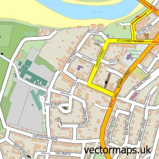
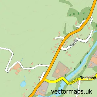
This Gatehouse of Fleet street map is a detailed vector street map covering a 750m x 750m area. Select a larger area to create and download your own vector street map of Gatehouse of Fleet.
The 750-metre map sample for Gatehouse of Fleet covers 192 mapped buildings and approximately 12.4 km of road detail, of which 26 named roads are named. The immediate area includes 1 pub. The wider area around Gatehouse of Fleet features 3 tourism points of interest, 2 food and drink venues and 7 hotels. To create a larger or custom map of Gatehouse of Fleet, the map builder lets you define your own coverage area and download editable SVG, PDF and PNG files.
Create a larger editable map of Gatehouse of Fleet
Choose any area you need and generate a high-quality vector map instantly. Perfect for print, planning, design, business and personal use.

This Gatehouse of Fleet street map in The Stewartry of Kirkcudbright is available as downloadable SVG, PDF and PNG map files, or as a printed map for planning, business, display, education, local information and design work. You can also create a larger custom map area using the map selector.
What this Gatehouse of Fleet map sample shows
Gatehouse of Fleet lies within Dumfries And Galloway parish, part of Dee And Glenkens ward in the Dumfries And Galloway local authority area. Residents fall under the Dumfries And Galloway for NHS services.
Local features near Gatehouse of Fleet
Within 2 milesAmenities and services in and around Gatehouse of Fleet.
Administrative and postcode information for Gatehouse of Fleet
Gatehouse of Fleet lies within Dumfries And Galloway parish, part of Dee And Glenkens ward in the Dumfries And Galloway local authority area. Residents fall under the Dumfries And Galloway for NHS services.
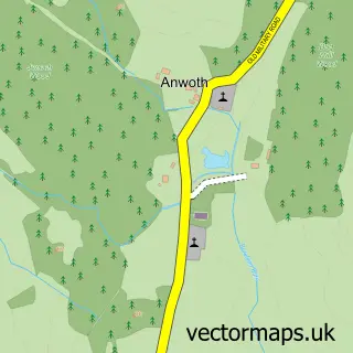
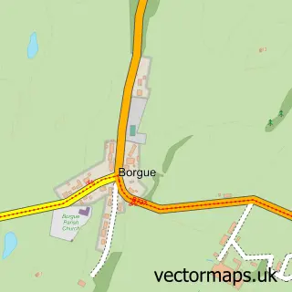
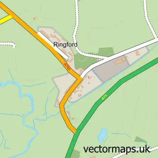
Nearby street map samples around Gatehouse of Fleet


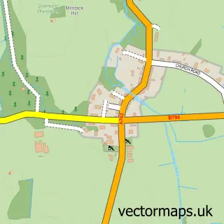

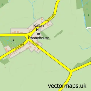
More street maps in The Stewartry of Kirkcudbright
750 metre map area coverage
Boundary, postcode and point of interest information for the 750m x 750m rectangle centred on this sample map.
Boundaries containing map centre
Constituency: Dumfries and Galloway Co Const
District: Dumfries and Galloway
Icb: Dumfries and Galloway
Postcode District: DG7
Postcode Sector: DG7 2
Ward: Dee and Glenkens Ward
Nearby boundaries intersecting sample
No additional intersecting boundaries found.
Postcode coverage
POI category counts
Hotel: 7
Bed And Breakfast: 3
Holiday Rental Home: 3
Convenience Store: 2
Hair Salon: 2
Pharmacy: 2
Post Office: 2
Resort: 2
Art Gallery: 1
Arts And Crafts: 1
Sample points of interest
- Fleet Gallery
- TGB Wee Shop & Refill Centre
- Fleet Valley Care Home
- BANK of SCOTLAND - Gatehouse of Fleet
- Cluniemore, Carrick Shore
- But and Ben Holiday Cottage
- The Bobbin
- Woodlyn Guest House
- Big Water of Fleet Viaduct
- Killer Sauce
- Rusko Holiday Cottages
- The Iron Brew
Create a larger editable map of Gatehouse of Fleet
This sample shows only a 750 metre area. To create a larger map of Gatehouse of Fleet, use our map builder to choose your own coverage area, add titles and download editable SVG, PDF and PNG files.
Create a custom map of Gatehouse of Fleet