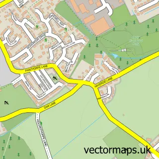
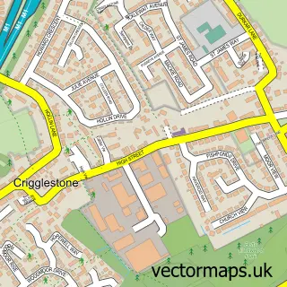
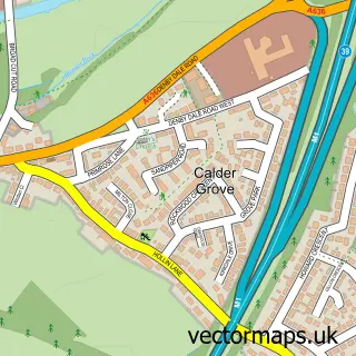
This Hall Green street map is a detailed vector street map covering a 750m x 750m area. Select a larger area to create and download your own vector street map of Hall Green.
The 750-metre map sample for Hall Green covers 495 mapped buildings and approximately 14.0 km of road detail, of which 30 named roads are named. The immediate area includes 1 GP surgery within 2 miles, 1 pub and 7 MOT stations within 2 miles. The wider area around Hall Green features 2 food and drink venues and 1 campsite within 2 miles. To create a larger or custom map of Hall Green, the map builder lets you define your own coverage area and download editable SVG, PDF and PNG files.
Create a larger editable map of Hall Green
Choose any area you need and generate a high-quality vector map instantly. Perfect for print, planning, design, business and personal use.

This Hall Green street map in West Yorkshire is available as downloadable SVG, PDF and PNG map files, or as a printed map for planning, business, display, education, local information and design work. You can also create a larger custom map area using the map selector.
What this Hall Green map sample shows
Hall Green lies within Crigglestone Cp parish, part of Wakefield Rural ward in the Wakefield District (B) local authority area. The postcode geography for this area includes the WF postcode area, the WF4 postcode district and the WF4 3 postcode sector. Residents fall under the Nhs West Yorkshire Integrated Care Board for NHS services.
Local features near Hall Green
Within 2 milesAmenities and services in and around Hall Green.
Administrative and postcode information for Hall Green
The local authority covering Hall Green is Wakefield District (B), within the county of West Yorkshire. The settlement lies within Wakefield Rural ward and Crigglestone Cp civil parish. The WF4 postcode district and WF4 3 postcode sector serve the immediate area. NHS provision in the area is delivered through Mid Yorkshire Teaching Nhs Trust.
Nearby street map samples around Hall Green

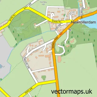
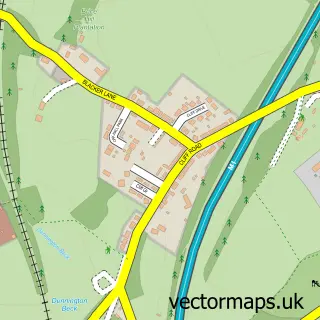
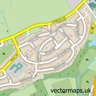
More street maps in West Yorkshire
750 metre map area coverage
Boundary, postcode and point of interest information for the 750m x 750m rectangle centred on this sample map.
Boundaries containing map centre
Constituency: Ossett and Denby Dale Co Const
District: Wakefield District (B)
Icb: NHS West Yorkshire ICB
Parish: Crigglestone CP
Police Force: west yorkshire
Postcode District: WF4
Postcode Sector: WF4 3
Ward: Wakefield Rural Ward
Nearby boundaries intersecting sample
Postcode District: WF2
Postcode Sector: WF2 7
Ward: Wakefield South Ward
Postcode coverage
POI category counts
Korean Grocery Store: 2
Sports Club And League: 2
Active Life: 1
Asian Fusion Restaurant: 1
Atms: 1
Beauty Salon: 1
Cafe: 1
Chinese Restaurant: 1
Clothing Store: 1
Community Center: 1
Sample points of interest
- Wakefield School Sports Network
- Elamis
- Welcome, Hall Green
- Beauty at Pure Salon
- Kafe Central
- Fuller Chinese Takeaway Wakefield
- Gold Needle
- Hall Green Community Centre
- S J Roberts Tiling
- JJ's Mini Mart
- Post Office Travel Money
- Welcome Wakefield
Create a larger editable map of Hall Green
This sample shows only a 750 metre area. To create a larger map of Hall Green, use our map builder to choose your own coverage area, add titles and download editable SVG, PDF and PNG files.
Create a custom map of Hall Green