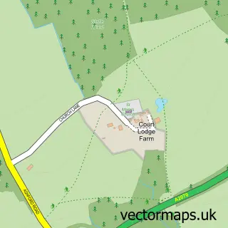
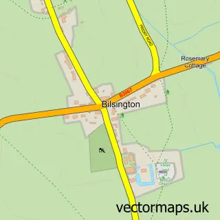
This Hamstreet street map is a detailed vector street map covering a 750m x 750m area. Select a larger area to create and download your own vector street map of Hamstreet.
The 750-metre map sample for Hamstreet covers 401 mapped buildings and approximately 12.5 km of road detail, of which 22 named roads are named. The immediate area includes 1 railway station, 1 GP surgery, 1 pub and 1 MOT station. The wider area around Hamstreet features 1 tourism point of interest and 3 food and drink venues. To create a larger or custom map of Hamstreet, the map builder lets you define your own coverage area and download editable SVG, PDF and PNG files.
Create a larger editable map of Hamstreet
Choose any area you need and generate a high-quality vector map instantly. Perfect for print, planning, design, business and personal use.

This Hamstreet street map in Kent is available as downloadable SVG, PDF and PNG map files, or as a printed map for planning, business, display, education, local information and design work. You can also create a larger custom map area using the map selector.
What this Hamstreet map sample shows
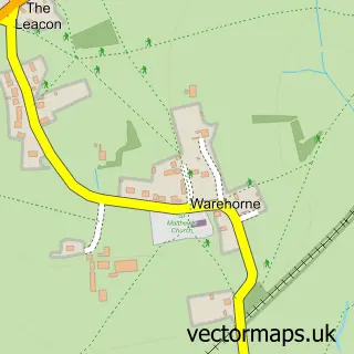
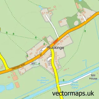
Hamstreet lies within Orlestone Cp parish, part of Weald South ward in the Ashford District (B) local authority area. The postcode geography for this area includes the TN postcode area, the TN26 postcode district and the TN26 2 postcode sector. Residents fall under the Nhs Kent And Medway Integrated Care Board for NHS services.
Local features near Hamstreet
Within 2 milesAmenities and services in and around Hamstreet.
Administrative and postcode information for Hamstreet
Hamstreet lies within Orlestone Cp parish, part of Weald South ward in the Ashford District (B) local authority area. The postcode geography for this area includes the TN postcode area, the TN26 postcode district and the TN26 2 postcode sector. Residents fall under the Nhs Kent And Medway Integrated Care Board for NHS services.
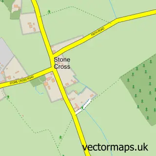
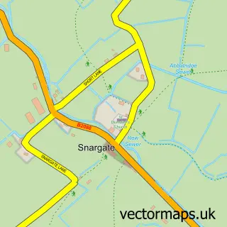
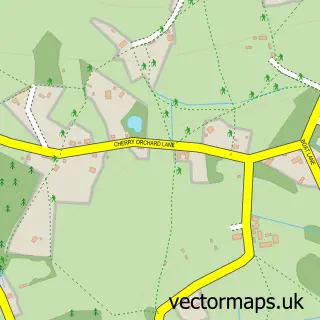
Nearby street map samples around Hamstreet


More street maps in Kent
750 metre map area coverage
Boundary, postcode and point of interest information for the 750m x 750m rectangle centred on this sample map.
Boundaries containing map centre
Constituency: Weald of Kent Co Const
County: Kent County
District: Ashford District (B)
Icb: NHS Kent and Medway ICB
Parish: Orlestone CP
Police Force: kent
Postcode District: TN26
Postcode Sector: TN26 2
Ward: Weald South Ward
Nearby boundaries intersecting sample
Parish: Ruckinge CP, Warehorne CP
Ward: Saxon Shore Ward
Postcode coverage
POI category counts
Beauty Salon: 3
Professional Services: 3
Advertising Agency: 2
Convenience Store: 2
Doctor: 2
Home Developer: 2
Shipping Center: 2
Sports Club And League: 2
Active Life: 1
Antique Store: 1
Sample points of interest
- Scamell Coaching
- Alexandrapatrick
- Nostromo Associates
- Upwards Antiques
- The Hall
- Robinson International Ltd.
- Monkley Made
- River Cottage Beauty Salon
- Butterfly Beauty Therapy
- Joanne Fuller Beauty & Aesthetics
- The Salon - Hamstreet
- The Dukes Head
Create a larger editable map of Hamstreet
This sample shows only a 750 metre area. To create a larger map of Hamstreet, use our map builder to choose your own coverage area, add titles and download editable SVG, PDF and PNG files.
Create a custom map of Hamstreet