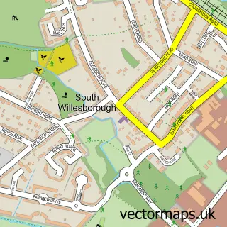
This Ashford street map is a detailed vector street map covering a 750m x 750m area. Select a larger area to create and download your own vector street map of Ashford.
The 750-metre map sample for Ashford covers 217 mapped buildings and approximately 21.4 km of road detail, of which 47 named roads are named. The immediate area includes 1 school, 4 GP surgeries within 2 miles, 7 pubs and 25 MOT stations within 2 miles. The wider area around Ashford features 5 tourism points of interest, 31 food and drink venues and 4 hotels. To create a larger or custom map of Ashford, the map builder lets you define your own coverage area and download editable SVG, PDF and PNG files.
Create a larger editable map of Ashford
Choose any area you need and generate a high-quality vector map instantly. Perfect for print, planning, design, business and personal use.

This Ashford street map in Kent is available as downloadable SVG, PDF and PNG map files, or as a printed map for planning, business, display, education, local information and design work. You can also create a larger custom map area using the map selector.
What this Ashford map sample shows
Ashford lies within Kent County parish, part of Victoria ward in the Ashford District (B) local authority area. The postcode geography for this area includes the TN postcode area, the TN24 postcode district and the TN24 8 postcode sector. Residents fall under the Nhs Kent And Medway Integrated Care Board for NHS services.
Local features near Ashford
Within 2 milesAmenities and services in and around Ashford.
Administrative and postcode information for Ashford
Ashford lies within Kent County parish, part of Victoria ward in the Ashford District (B) local authority area. The postcode geography for this area includes the TN postcode area, the TN24 postcode district and the TN24 8 postcode sector. Residents fall under the Nhs Kent And Medway Integrated Care Board for NHS services.
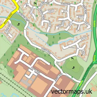
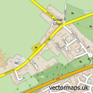
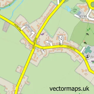
Nearby street map samples around Ashford


More street maps in Kent
750 metre map area coverage
Boundary, postcode and point of interest information for the 750m x 750m rectangle centred on this sample map.
Boundaries containing map centre
Constituency: Ashford Co Const
County: Kent County
District: Ashford District (B)
Icb: NHS Kent and Medway ICB
Police Force: kent
Postcode District: TN23
Postcode Sector: TN23 1
Ward: Victoria Ward
Nearby boundaries intersecting sample
Postcode District: TN24
Postcode Sector: TN23 7, TN24 8
Ward: Furley Ward
Postcode coverage
POI category counts
Employment Agencies: 24
Professional Services: 24
Real Estate Agent: 23
Beauty Salon: 18
Hair Salon: 18
Financial Service: 17
Clothing Store: 14
Jewelry Store: 13
Dentist: 12
Nail Salon: 12
Sample points of interest
- Ashford PSF Apartments
- Accountants Ashford - Michael Martin Partnership Ltd.
- Acute Accountants & Business Advisors Ltd
- Azets - Accountants & Business Advisors
- Michael Martin Partnership
- TaxAssist Accountants
- TaxAssist Accountants
- The Bookkeeping Bunch
- Xeinadin
- Dr Sun & Herbs
- Ashford Adult Education Centre
- Airfield Design Ltd
Create a larger editable map of Ashford
This sample shows only a 750 metre area. To create a larger map of Ashford, use our map builder to choose your own coverage area, add titles and download editable SVG, PDF and PNG files.
Create a custom map of Ashford