This Hothfield street map is a detailed vector street map covering a 750m x 750m area. Select a larger area to create and download your own vector street map of Hothfield.
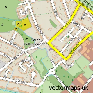
The 750-metre map sample for Hothfield covers 134 mapped buildings and approximately 10.4 km of road detail, of which 11 named roads are named. To create a larger or custom map of Hothfield, the map builder lets you define your own coverage area and download editable SVG, PDF and PNG files.
Create a larger editable map of Hothfield
Choose any area you need and generate a high-quality vector map instantly. Perfect for print, planning, design, business and personal use.

This Hothfield street map in Kent is available as downloadable SVG, PDF and PNG map files, or as a printed map for planning, business, display, education, local information and design work. You can also create a larger custom map area using the map selector.
What this Hothfield map sample shows
Hothfield lies within Hothfield Cp parish, part of Upper Weald ward in the Ashford District (B) local authority area. The postcode geography for this area includes the TN postcode area, the TN26 postcode district and the TN26 1 postcode sector. Residents fall under the Nhs Kent And Medway Integrated Care Board for NHS services.
Administrative and postcode information for Hothfield
The local authority covering Hothfield is Ashford District (B), within the county of Kent. The settlement lies within Upper Weald ward and Hothfield Cp civil parish. The TN26 postcode district and TN26 1 postcode sector serve the immediate area. NHS provision in the area is delivered through East Kent Hospitals University Nhs Foundation Trust.
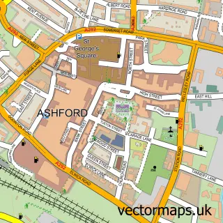
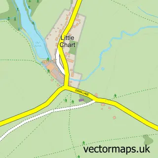
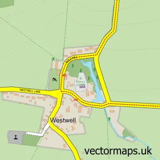
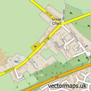
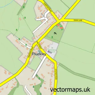
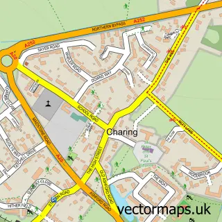
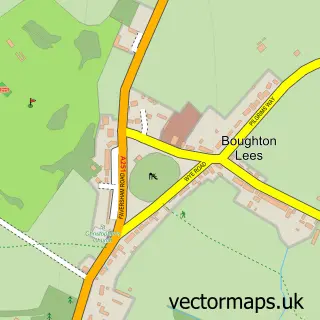
Nearby street map samples around Hothfield

More street maps in Kent
750 metre map area coverage
Boundary, postcode and point of interest information for the 750m x 750m rectangle centred on this sample map.
Boundaries containing map centre
Constituency: Weald of Kent Co Const
County: Kent County
District: Ashford District (B)
Icb: NHS Kent and Medway ICB
Parish: Hothfield CP
Police Force: kent
Postcode District: TN26
Postcode Sector: TN26 1
Ward: Upper Weald Ward
Nearby boundaries intersecting sample
No additional intersecting boundaries found.
Postcode coverage
POI category counts
Arts And Entertainment: 1
Bounce House Rental: 1
Caterer: 1
Convenience Store: 1
Elementary School: 1
Fitness Trainer: 1
Landscaping: 1
Party Supply: 1
Pet Services: 1
Photographer: 1
Sample points of interest
- Tmayarai
- Dreams Bouncy Castles
- Servewell
- Premier Gill's Store
- Hothfield Village Primary School
- Critical Fitness Training
- EcoGroundsCare
- Balloons By Samantha
- More than Paws
- Smarty Pants
- Hothfield Post Office
- Post Office-Hothfield
Create a larger editable map of Hothfield
This sample shows only a 750 metre area. To create a larger map of Hothfield, use our map builder to choose your own coverage area, add titles and download editable SVG, PDF and PNG files.
Create a custom map of Hothfield