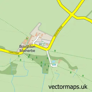
This Charing street map is a detailed vector street map covering a 750m x 750m area. Select a larger area to create and download your own vector street map of Charing.
The 750-metre map sample for Charing covers 359 mapped buildings and approximately 15.7 km of road detail, of which 31 named roads are named. The immediate area includes 1 school, 1 GP surgery, 2 pubs and 2 MOT stations within 2 miles. The wider area around Charing features 2 food and drink venues. To create a larger or custom map of Charing, the map builder lets you define your own coverage area and download editable SVG, PDF and PNG files.
Create a larger editable map of Charing
Choose any area you need and generate a high-quality vector map instantly. Perfect for print, planning, design, business and personal use.

This Charing street map in Kent is available as downloadable SVG, PDF and PNG map files, or as a printed map for planning, business, display, education, local information and design work. You can also create a larger custom map area using the map selector.
What this Charing map sample shows
Charing lies within Charing Cp parish, part of Charing ward in the Ashford District (B) local authority area. The postcode geography for this area includes the TN postcode area, the TN27 postcode district and the TN27 0 postcode sector. Residents fall under the Nhs Kent And Medway Integrated Care Board for NHS services.
Local features near Charing
Within 2 milesAmenities and services in and around Charing.
Administrative and postcode information for Charing
The local authority covering Charing is Ashford District (B), within the county of Kent. The settlement lies within Charing ward and Charing Cp civil parish. The TN27 postcode district and TN27 0 postcode sector serve the immediate area. NHS provision in the area is delivered through East Kent Hospitals University Nhs Foundation Trust.
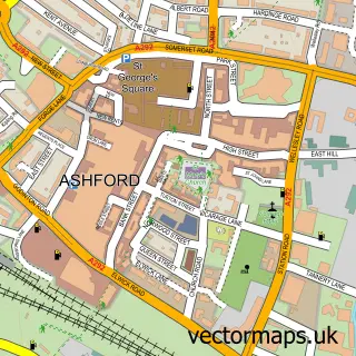
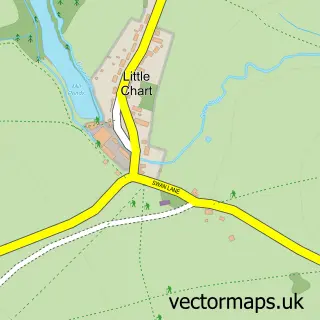
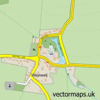
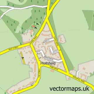
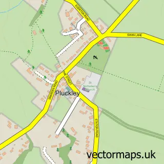
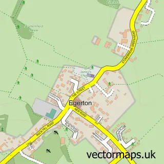
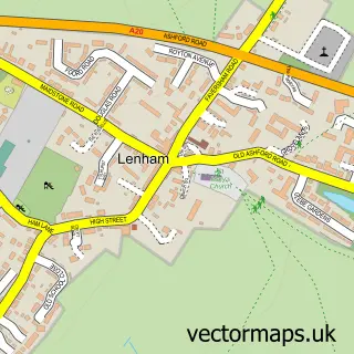
Nearby street map samples around Charing

More street maps in Kent
750 metre map area coverage
Boundary, postcode and point of interest information for the 750m x 750m rectangle centred on this sample map.
Boundaries containing map centre
Constituency: Weald of Kent Co Const
County: Kent County
District: Ashford District (B)
Icb: NHS Kent and Medway ICB
Parish: Charing CP
Police Force: kent
Postcode District: TN27
Postcode Sector: TN27 0
Ward: Charing Ward
Nearby boundaries intersecting sample
No additional intersecting boundaries found.
Postcode coverage
POI category counts
Doctor: 3
Beauty Salon: 2
Butcher Shop: 2
Convenience Store: 2
Forestry Service: 2
It Service And Computer Repair: 2
Pub: 2
Scout Hall: 2
Advertising Agency: 1
Anglican Church: 1
Sample points of interest
- The Wow Factory Uk
- St Peter & St Paul
- P C Doctor
- Purple Patch
- SubtleBeauty-permanent makeup
- Number 39 Hair
- Vision Hair and Beauty
- G M & M Johns Family Butchers
- GM&M JOHNS Family Butchers
- St Peter and St Pauls Church
- Charing Village Hall
- Londis WADY AND BRETT
Create a larger editable map of Charing
This sample shows only a 750 metre area. To create a larger map of Charing, use our map builder to choose your own coverage area, add titles and download editable SVG, PDF and PNG files.
Create a custom map of Charing