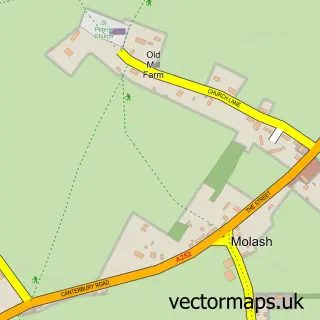
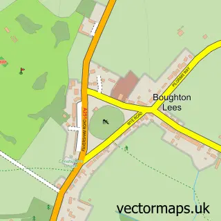
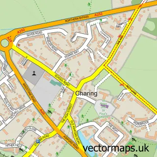
This Challock street map is a detailed vector street map covering a 750m x 750m area. Select a larger area to create and download your own vector street map of Challock.
The 750-metre map sample for Challock covers 224 mapped buildings and approximately 9.7 km of road detail, of which 13 named roads are named. The immediate area includes 1 MOT station, with 2 within 2 miles. To create a larger or custom map of Challock, the map builder lets you define your own coverage area and download editable SVG, PDF and PNG files.
Create a larger editable map of Challock
Choose any area you need and generate a high-quality vector map instantly. Perfect for print, planning, design, business and personal use.

This Challock street map in Kent is available as downloadable SVG, PDF and PNG map files, or as a printed map for planning, business, display, education, local information and design work. You can also create a larger custom map area using the map selector.
What this Challock map sample shows
Challock lies within Challock Cp parish, part of Downs West ward in the Ashford District (B) local authority area. The postcode geography for this area includes the TN postcode area, the TN25 postcode district and the TN25 4 postcode sector. Residents fall under the Nhs Kent And Medway Integrated Care Board for NHS services.
Local features near Challock
Within 2 milesAmenities and services in and around Challock.
Administrative and postcode information for Challock
Challock lies within Challock Cp parish, part of Downs West ward in the Ashford District (B) local authority area. The postcode geography for this area includes the TN postcode area, the TN25 postcode district and the TN25 4 postcode sector. Residents fall under the Nhs Kent And Medway Integrated Care Board for NHS services.
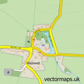
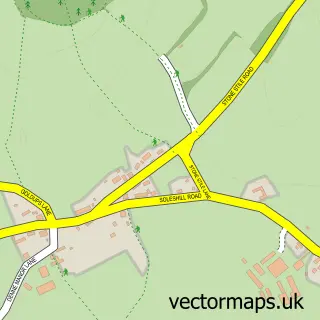
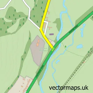
Nearby street map samples around Challock

More street maps in Kent
750 metre map area coverage
Boundary, postcode and point of interest information for the 750m x 750m rectangle centred on this sample map.
Boundaries containing map centre
Constituency: Weald of Kent Co Const
County: Kent County
District: Ashford District (B)
Icb: NHS Kent and Medway ICB
Parish: Challock CP
Police Force: kent
Postcode District: TN25
Postcode Sector: TN25 4
Ward: Downs West Ward
Nearby boundaries intersecting sample
No additional intersecting boundaries found.
Postcode coverage
POI category counts
Arts And Entertainment: 1
Automotive Repair: 1
Bar: 1
Beauty Salon: 1
Building Supply Store: 1
Carpenter: 1
Church Cathedral: 1
Dog Walkers: 1
Farmers Market: 1
Land Surveying: 1
Sample points of interest
- John Harvey Artist
- Topline Windscreens
- Hello
- Beautiful Beauty And Aesthetics
- Rob Mcgee & Son
- Phillip S Witts
- Challock Methodist Church
- Mucky Paws Kent Dog Walking Service
- The Barn Shop
- Btf Partnership Llp
- AB First Aid Training
- Page Plan Prints
Create a larger editable map of Challock
This sample shows only a 750 metre area. To create a larger map of Challock, use our map builder to choose your own coverage area, add titles and download editable SVG, PDF and PNG files.
Create a custom map of Challock