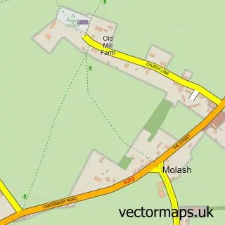
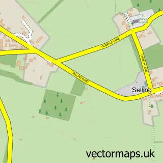
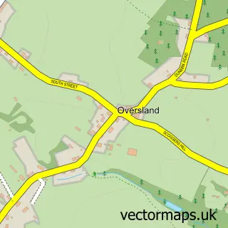
This Badlesmere street map is a detailed vector street map covering a 750m x 750m area. Select a larger area to create and download your own vector street map of Badlesmere.
The 750-metre map sample for Badlesmere covers 72 mapped buildings and approximately 4.6 km of road detail, of which 1 named road are named. The immediate area includes 1 pub and 2 MOT stations within 2 miles. The wider area around Badlesmere features 1 food and drink venue and 1 campsite within 2 miles. To create a larger or custom map of Badlesmere, the map builder lets you define your own coverage area and download editable SVG, PDF and PNG files.
Create a larger editable map of Badlesmere
Choose any area you need and generate a high-quality vector map instantly. Perfect for print, planning, design, business and personal use.

This Badlesmere street map in Kent is available as downloadable SVG, PDF and PNG map files, or as a printed map for planning, business, display, education, local information and design work. You can also create a larger custom map area using the map selector.
What this Badlesmere map sample shows
Badlesmere lies within Leaveland Cp parish, part of East Downs ward in the Swale District (B) local authority area. The postcode geography for this area includes the ME postcode area, the ME13 postcode district and the ME13 0 postcode sector. Residents fall under the Nhs Kent And Medway Integrated Care Board for NHS services.
Local features near Badlesmere
Within 2 milesAmenities and services in and around Badlesmere.
Administrative and postcode information for Badlesmere
The local authority covering Badlesmere is Swale District (B), within the county of Kent. The settlement lies within East Downs ward and Leaveland Cp civil parish. The ME13 postcode district and ME13 0 postcode sector serve the immediate area. NHS provision in the area is delivered through East Kent Hospitals University Nhs Foundation Trust.
Nearby street map samples around Badlesmere
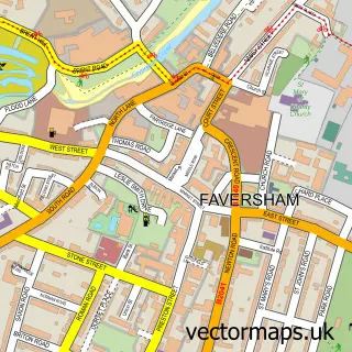

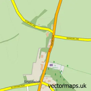
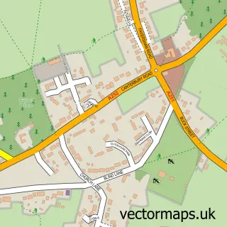
More street maps in Kent
750 metre map area coverage
Boundary, postcode and point of interest information for the 750m x 750m rectangle centred on this sample map.
Boundaries containing map centre
Constituency: Faversham and Mid Kent Co Const
County: Kent County
District: Swale District (B)
Icb: NHS Kent and Medway ICB
Parish: Badlesmere CP
Police Force: kent
Postcode District: ME13
Postcode Sector: ME13 0
Ward: East Downs Ward
Nearby boundaries intersecting sample
Parish: Leaveland CP
Postcode coverage
POI category counts
Contractor: 2
Arts And Crafts: 1
Car Rental Agency: 1
Clothing Store: 1
Equestrian Facility: 1
Horse Riding: 1
Leather Goods: 1
Pub: 1
Real Estate Agent: 1
Sample points of interest
- Fibre and Fleece
- Roadside Rescue Ltd
- In the Country
- Unique Building Solutions
- Unique Building Solutions
- Saddlesdane Equestrian Centre
- Deepdene Stables
- Saddlesdane Equestrian Supplies
- The Red Lion
- Wychling Contractors
Create a larger editable map of Badlesmere
This sample shows only a 750 metre area. To create a larger map of Badlesmere, use our map builder to choose your own coverage area, add titles and download editable SVG, PDF and PNG files.
Create a custom map of Badlesmere