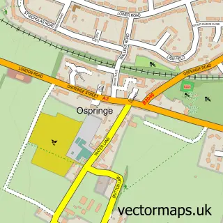
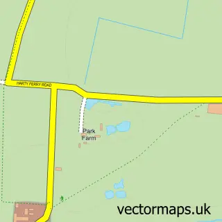
This Faversham street map is a detailed vector street map covering a 750m x 750m area. Select a larger area to create and download your own vector street map of Faversham.
The 750-metre map sample for Faversham covers 316 mapped buildings and approximately 18.5 km of road detail, of which 54 named roads are named. The immediate area includes 1 school, 2 GP surgeries, 14 pubs and 1 MOT station, with 4 within 2 miles. The wider area around Faversham features 6 tourism points of interest, 29 food and drink venues and 1 hotel. To create a larger or custom map of Faversham, the map builder lets you define your own coverage area and download editable SVG, PDF and PNG files.
Create a larger editable map of Faversham
Choose any area you need and generate a high-quality vector map instantly. Perfect for print, planning, design, business and personal use.

This Faversham street map in Kent is available as downloadable SVG, PDF and PNG map files, or as a printed map for planning, business, display, education, local information and design work. You can also create a larger custom map area using the map selector.
What this Faversham map sample shows
Faversham lies within Faversham Cp parish, part of Abbey ward in the Swale District (B) local authority area. The postcode geography for this area includes the ME postcode area, the ME13 postcode district and the ME13 8 postcode sector. Residents fall under the Nhs Kent And Medway Integrated Care Board for NHS services.
Local features near Faversham
Within 2 milesAmenities and services in and around Faversham.
Administrative and postcode information for Faversham
The local authority covering Faversham is Swale District (B), within the county of Kent. The settlement lies within Abbey ward and Faversham Cp civil parish. The ME13 postcode district and ME13 8 postcode sector serve the immediate area. NHS provision in the area is delivered through East Kent Hospitals University Nhs Foundation Trust.
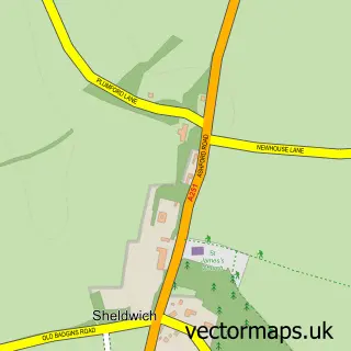
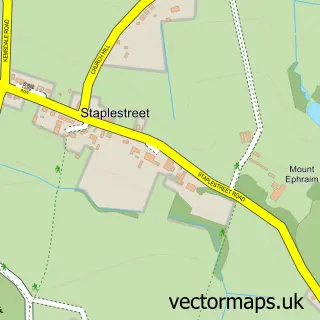
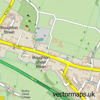
Nearby street map samples around Faversham

More street maps in Kent
750 metre map area coverage
Boundary, postcode and point of interest information for the 750m x 750m rectangle centred on this sample map.
Boundaries containing map centre
Constituency: Faversham and Mid Kent Co Const
County: Kent County
District: Swale District (B)
Icb: NHS Kent and Medway ICB
Parish: Faversham CP
Police Force: kent
Postcode District: ME13
Postcode Sector: ME13 7
Ward: Abbey Ward
Nearby boundaries intersecting sample
Postcode Sector: ME13 8
Ward: Priory Ward, St. Ann's Ward
Postcode coverage
POI category counts
Pub: 14
Real Estate Agent: 10
Beauty Salon: 9
Charity Organization: 9
Clothing Store: 9
Flowers And Gifts Shop: 9
Hair Salon: 8
Cafe: 7
Coffee Shop: 7
Financial Service: 6
Sample points of interest
- Brian Kelsey & Co. Ltd.
- Stripey Lizard Creative Services
- Life Hypnotherapy Clinic Within Abbey Place Clinic
- The Apotheca Natural Health Clinic
- Time2shine Hypnotherapy
- RSPCA
- Barrow's Antiques
- Faversham Interiors
- Upstairs Downstairs Antiques and Collectables
- Birds Birds Birds
- Birds Birds Birds
- Creek Creative
Create a larger editable map of Faversham
This sample shows only a 750 metre area. To create a larger map of Faversham, use our map builder to choose your own coverage area, add titles and download editable SVG, PDF and PNG files.
Create a custom map of Faversham