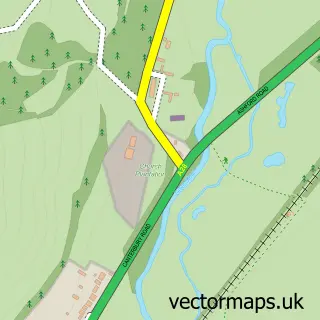
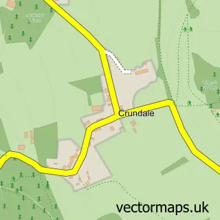
This Chilham street map is a detailed vector street map covering a 750m x 750m area. Select a larger area to create and download your own vector street map of Chilham.
The 750-metre map sample for Chilham covers 132 mapped buildings and approximately 14.5 km of road detail, of which 15 named roads are named. The immediate area includes 1 school and 2 pubs. The wider area around Chilham features 1 tourism point of interest, 2 food and drink venues and 1 hotel. To create a larger or custom map of Chilham, the map builder lets you define your own coverage area and download editable SVG, PDF and PNG files.
Create a larger editable map of Chilham
Choose any area you need and generate a high-quality vector map instantly. Perfect for print, planning, design, business and personal use.

This Chilham street map in Kent is available as downloadable SVG, PDF and PNG map files, or as a printed map for planning, business, display, education, local information and design work. You can also create a larger custom map area using the map selector.
What this Chilham map sample shows
Chilham lies within Chilham Cp parish, part of Downs North ward in the Ashford District (B) local authority area. The postcode geography for this area includes the CT postcode area, the CT4 postcode district and the CT4 8 postcode sector. Residents fall under the Nhs Kent And Medway Integrated Care Board for NHS services.
Local features near Chilham
Within 2 milesAmenities and services in and around Chilham.
Administrative and postcode information for Chilham
Chilham lies within Chilham Cp parish, part of Downs North ward in the Ashford District (B) local authority area. The postcode geography for this area includes the CT postcode area, the CT4 postcode district and the CT4 8 postcode sector. Residents fall under the Nhs Kent And Medway Integrated Care Board for NHS services.
Nearby street map samples around Chilham

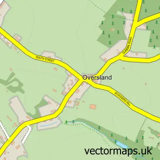
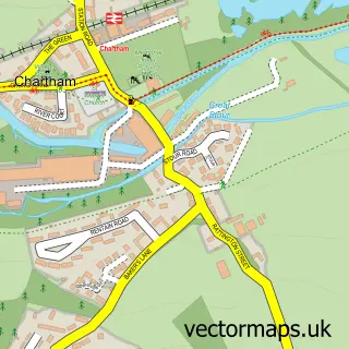
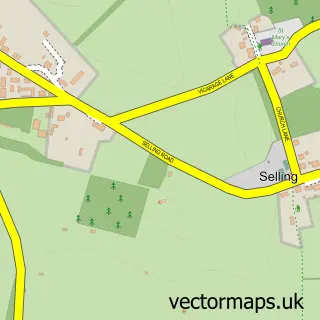
More street maps in Kent
750 metre map area coverage
Boundary, postcode and point of interest information for the 750m x 750m rectangle centred on this sample map.
Boundaries containing map centre
Constituency: Weald of Kent Co Const
County: Kent County
District: Ashford District (B)
Icb: NHS Kent and Medway ICB
Parish: Chilham CP
Police Force: kent
Postcode District: CT4
Postcode Sector: CT4 8
Ward: Downs North Ward
Nearby boundaries intersecting sample
No additional intersecting boundaries found.
Postcode coverage
POI category counts
Nursery And Gardening: 3
Church Cathedral: 2
Pub: 2
Anglican Church: 1
Art School: 1
Castle: 1
Contractor: 1
Doctor: 1
Education: 1
Elementary School: 1
Sample points of interest
- St Mary's Chilham
- Creative Retreats and Holidays
- Chilham Castle Estate
- St Mary's Church
- The Parish Church of St Mary's Chilham
- Fraser Tillyard
- Chilham Surgery
- Once Upon The Mat - Baby Classes
- Chilham St Mary's Church of England Primary School
- David Rumsey Dressage
- Chilham Fire Station
- Woolpack Inn
Create a larger editable map of Chilham
This sample shows only a 750 metre area. To create a larger map of Chilham, use our map builder to choose your own coverage area, add titles and download editable SVG, PDF and PNG files.
Create a custom map of Chilham