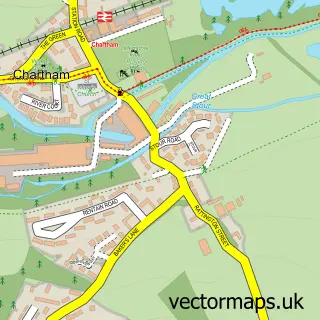
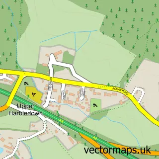
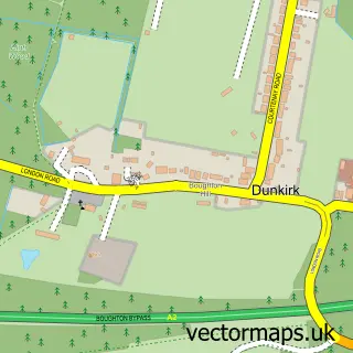
This Shalmsford Street street map is a detailed vector street map covering a 750m x 750m area. Select a larger area to create and download your own vector street map of Shalmsford Street.
The 750-metre map sample for Shalmsford Street covers 164 mapped buildings and approximately 7.2 km of road detail, of which 9 named roads are named. The immediate area includes 1 school, 1 GP surgery, 1 pub and 3 MOT stations within 2 miles. The wider area around Shalmsford Street features 1 food and drink venue and 2 campsites within 2 miles. To create a larger or custom map of Shalmsford Street, the map builder lets you define your own coverage area and download editable SVG, PDF and PNG files.
Create a larger editable map of Shalmsford Street
Choose any area you need and generate a high-quality vector map instantly. Perfect for print, planning, design, business and personal use.

This Shalmsford Street street map in Kent is available as downloadable SVG, PDF and PNG map files, or as a printed map for planning, business, display, education, local information and design work. You can also create a larger custom map area using the map selector.
What this Shalmsford Street map sample shows
Shalmsford Street lies within Chartham Cp parish, part of Chartham & Stone Street ward in the Canterbury District (B) local authority area. The postcode geography for this area includes the CT postcode area, the CT4 postcode district and the CT4 7 postcode sector. Residents fall under the Nhs Kent And Medway Integrated Care Board for NHS services.
Local features near Shalmsford Street
Within 2 milesAmenities and services in and around Shalmsford Street.
Administrative and postcode information for Shalmsford Street
Shalmsford Street lies within Chartham Cp parish, part of Chartham & Stone Street ward in the Canterbury District (B) local authority area. The postcode geography for this area includes the CT postcode area, the CT4 postcode district and the CT4 7 postcode sector. Residents fall under the Nhs Kent And Medway Integrated Care Board for NHS services.
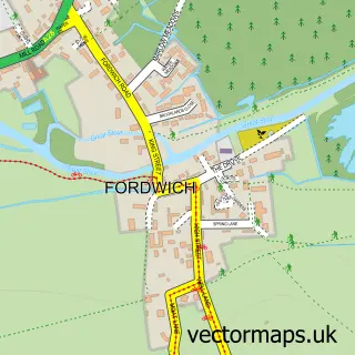
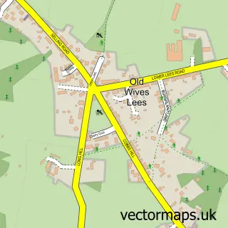
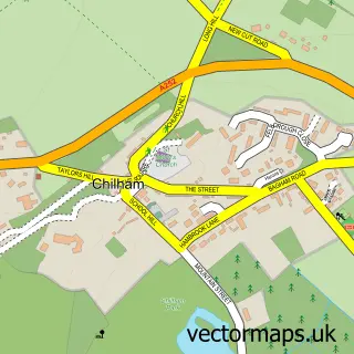
Nearby street map samples around Shalmsford Street

More street maps in Kent
750 metre map area coverage
Boundary, postcode and point of interest information for the 750m x 750m rectangle centred on this sample map.
Boundaries containing map centre
Constituency: Canterbury Co Const
County: Kent County
District: Canterbury District (B)
Icb: NHS Kent and Medway ICB
Parish: Chartham CP
Police Force: kent
Postcode District: CT4
Postcode Sector: CT4 7
Ward: Chartham & Stone Street Ward
Nearby boundaries intersecting sample
No additional intersecting boundaries found.
Postcode coverage
POI category counts
Contractor: 3
Automotive Repair: 2
Elementary School: 2
Accountant: 1
Art Gallery: 1
Automotive Dealer: 1
Building Supply Store: 1
Business Manufacturing And Supply: 1
Carpenter: 1
Convenience Store: 1
Sample points of interest
- Browns Accountancy and Taxation Services Limited
- Bobbin Lodge Stud
- Motor Emporium Ltd
- Rick's Mechanical Services
- Ricks Mechanical Services
- Ellison's Mini Mix
- Inca Geometric Ltd
- Odd Job Man
- B.R.C
- Keith Newing Stonemasons
- The Odd Job Man
- Premier
Create a larger editable map of Shalmsford Street
This sample shows only a 750 metre area. To create a larger map of Shalmsford Street, use our map builder to choose your own coverage area, add titles and download editable SVG, PDF and PNG files.
Create a custom map of Shalmsford Street