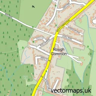
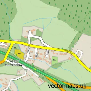
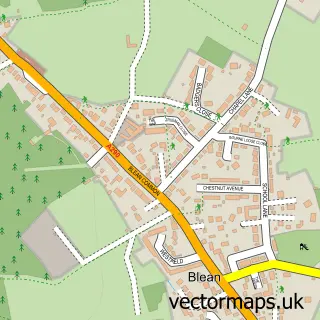
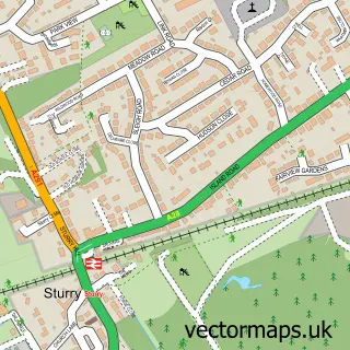
This Harbledown street map is a detailed vector street map covering a 750m x 750m area. Select a larger area to create and download your own vector street map of Harbledown.
The 750-metre map sample for Harbledown covers 332 mapped buildings and approximately 14.3 km of road detail, of which 22 named roads are named. The immediate area includes 4 GP surgeries within 2 miles and 15 MOT stations within 2 miles. The wider area around Harbledown features 2 tourism points of interest. To create a larger or custom map of Harbledown, the map builder lets you define your own coverage area and download editable SVG, PDF and PNG files.
Create a larger editable map of Harbledown
Choose any area you need and generate a high-quality vector map instantly. Perfect for print, planning, design, business and personal use.

This Harbledown street map in Kent is available as downloadable SVG, PDF and PNG map files, or as a printed map for planning, business, display, education, local information and design work. You can also create a larger custom map area using the map selector.
What this Harbledown map sample shows
Harbledown lies within Harbledown And Rough Common Cp parish, part of Chartham & Stone Street ward in the Canterbury District (B) local authority area. The postcode geography for this area includes the CT postcode area, the CT2 postcode district and the CT2 8 postcode sector. Residents fall under the Nhs Kent And Medway Integrated Care Board for NHS services.
Local features near Harbledown
Within 2 milesAmenities and services in and around Harbledown.
Administrative and postcode information for Harbledown
The local authority covering Harbledown is Canterbury District (B), within the county of Kent. The settlement lies within Chartham & Stone Street ward and Harbledown And Rough Common Cp civil parish. The CT2 postcode district and CT2 8 postcode sector serve the immediate area. NHS provision in the area is delivered through East Kent Hospitals University Nhs Foundation Trust.
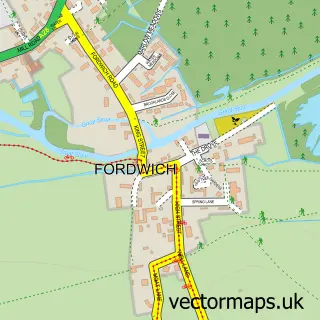
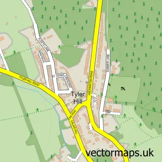
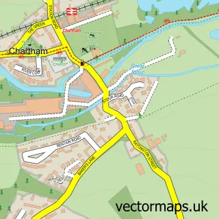
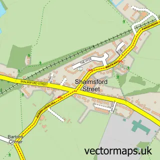
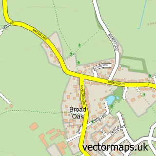
Nearby street map samples around Harbledown

More street maps in Kent
750 metre map area coverage
Boundary, postcode and point of interest information for the 750m x 750m rectangle centred on this sample map.
Boundaries containing map centre
Constituency: Canterbury Co Const
County: Kent County
District: Canterbury District (B)
Icb: NHS Kent and Medway ICB
Parish: Harbledown and Rough Common CP
Police Force: kent
Postcode District: CT2
Postcode Sector: CT2 8
Ward: Chartham & Stone Street Ward
Nearby boundaries intersecting sample
Postcode Sector: CT2 9
Ward: Blean Forest Ward, Westgate Ward
Postcode coverage
POI category counts
Park: 2
Retirement Home: 2
Active Life: 1
Anglican Church: 1
Assisted Living Facility: 1
Building Supply Store: 1
Church Cathedral: 1
E Commerce Service: 1
Gastropub: 1
Health Food Store: 1
Sample points of interest
- Little Kickers Canterbury
- St Michael & All Angels
- Anchor - Chancel Court Bungalows
- Omnia Home Cleaning Services
- St Michael and All Angels Church
- Dotsolutions & Technologies
- The Old Coach & Horses
- Hear Regain
- Pharon
- Choochoos Day Nursery Canterbury
- Dukes Meadow
- Golden Hill
Create a larger editable map of Harbledown
This sample shows only a 750 metre area. To create a larger map of Harbledown, use our map builder to choose your own coverage area, add titles and download editable SVG, PDF and PNG files.
Create a custom map of Harbledown