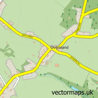
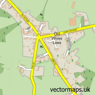
This Dunkirk street map is a detailed vector street map covering a 750m x 750m area. Select a larger area to create and download your own vector street map of Dunkirk.
The 750-metre map sample for Dunkirk covers 107 mapped buildings and approximately 10.1 km of road detail, of which 3 named roads are named. The immediate area includes 2 MOT stations within 2 miles. The wider area around Dunkirk features 1 campsite within 2 miles. To create a larger or custom map of Dunkirk, the map builder lets you define your own coverage area and download editable SVG, PDF and PNG files.
Create a larger editable map of Dunkirk
Choose any area you need and generate a high-quality vector map instantly. Perfect for print, planning, design, business and personal use.

This Dunkirk street map in Kent is available as downloadable SVG, PDF and PNG map files, or as a printed map for planning, business, display, education, local information and design work. You can also create a larger custom map area using the map selector.
What this Dunkirk map sample shows
Dunkirk lies within Dunkirk Cp parish, part of Boughton And Courtenay ward in the Swale District (B) local authority area. The postcode geography for this area includes the ME postcode area, the ME13 postcode district and the ME13 9 postcode sector. Residents fall under the Nhs Kent And Medway Integrated Care Board for NHS services.
Local features near Dunkirk
Within 2 milesAmenities and services in and around Dunkirk.
Administrative and postcode information for Dunkirk
Dunkirk lies within Dunkirk Cp parish, part of Boughton And Courtenay ward in the Swale District (B) local authority area. The postcode geography for this area includes the ME postcode area, the ME13 postcode district and the ME13 9 postcode sector. Residents fall under the Nhs Kent And Medway Integrated Care Board for NHS services.
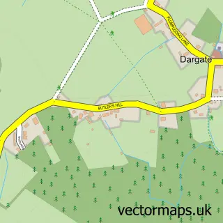
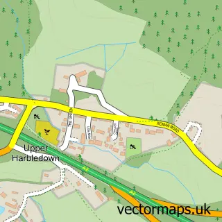
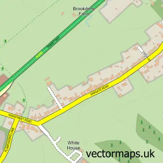
Nearby street map samples around Dunkirk

More street maps in Kent
750 metre map area coverage
Boundary, postcode and point of interest information for the 750m x 750m rectangle centred on this sample map.
Boundaries containing map centre
Constituency: Faversham and Mid Kent Co Const
County: Kent County
District: Swale District (B)
Icb: NHS Kent and Medway ICB
Parish: Dunkirk CP
Police Force: kent
Postcode District: ME13
Postcode Sector: ME13 9
Ward: Boughton and Courtenay Ward
Nearby boundaries intersecting sample
No additional intersecting boundaries found.
Postcode coverage
POI category counts
Automotive Repair: 1
Community Center: 1
Corporate Office: 1
Dog Park: 1
Elementary School: 1
Garbage Collection Service: 1
Home Service: 1
Key And Locksmith: 1
Nursery And Gardening: 1
Parking: 1
Sample points of interest
- Scuffs & Stuff Dunkirk Body Shop
- Dunkirk Village Hall
- Lock-tek
- Hugo's Fun Dog Field
- Dunkirk County Primary School
- Wynsdale Environmental
- Bees Knees Playgroup, Dunkirk
- Lock-tek
- Maytreenurserydunkirk
- A2 Dunkrik EB 1
- Select First Motorhomes
Create a larger editable map of Dunkirk
This sample shows only a 750 metre area. To create a larger map of Dunkirk, use our map builder to choose your own coverage area, add titles and download editable SVG, PDF and PNG files.
Create a custom map of Dunkirk