This Westwell street map is a detailed vector street map covering a 750m x 750m area. Select a larger area to create and download your own vector street map of Westwell.
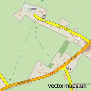
The 750-metre map sample for Westwell covers 81 mapped buildings and approximately 7.0 km of road detail, of which 2 named roads are named. The immediate area includes 2 pubs. The wider area around Westwell features 2 food and drink venues and 2 campsites within 2 miles. To create a larger or custom map of Westwell, the map builder lets you define your own coverage area and download editable SVG, PDF and PNG files.
Create a larger editable map of Westwell
Choose any area you need and generate a high-quality vector map instantly. Perfect for print, planning, design, business and personal use.

This Westwell street map in Kent is available as downloadable SVG, PDF and PNG map files, or as a printed map for planning, business, display, education, local information and design work. You can also create a larger custom map area using the map selector.
What this Westwell map sample shows
Westwell lies within Westwell Cp parish, part of Downs West ward in the Ashford District (B) local authority area. The postcode geography for this area includes the TN postcode area, the TN25 postcode district and the TN25 4 postcode sector. Residents fall under the Nhs Kent And Medway Integrated Care Board for NHS services.
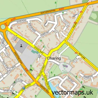
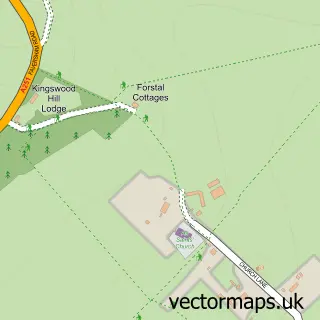
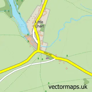
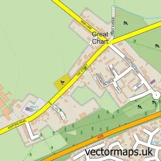
Local features near Westwell
Within 2 milesAmenities and services in and around Westwell.
Administrative and postcode information for Westwell
Westwell lies within Westwell Cp parish, part of Downs West ward in the Ashford District (B) local authority area. The postcode geography for this area includes the TN postcode area, the TN25 postcode district and the TN25 4 postcode sector. Residents fall under the Nhs Kent And Medway Integrated Care Board for NHS services.
Nearby street map samples around Westwell

More street maps in Kent
750 metre map area coverage
Boundary, postcode and point of interest information for the 750m x 750m rectangle centred on this sample map.
Boundaries containing map centre
Constituency: Weald of Kent Co Const
County: Kent County
District: Ashford District (B)
Icb: NHS Kent and Medway ICB
Parish: Westwell CP
Police Force: kent
Postcode District: TN25
Postcode Sector: TN25 4
Ward: Downs West Ward
Nearby boundaries intersecting sample
No additional intersecting boundaries found.
Postcode coverage
POI category counts
Insurance Agency: 2
Pub: 2
Anglican Church: 1
Community Services Non Profits: 1
Funeral Services And Cemeteries: 1
Irish Pub: 1
Sample points of interest
- St Mary
- Westwell Players
- Country Funerals
- Morpheus Insurance Solutions
- The Hammond Consultancy
- Wheel Inn
- The Wheel Inn Westwell
- Wheel Inn
Create a larger editable map of Westwell
This sample shows only a 750 metre area. To create a larger map of Westwell, use our map builder to choose your own coverage area, add titles and download editable SVG, PDF and PNG files.
Create a custom map of Westwell