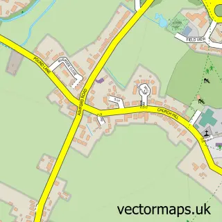
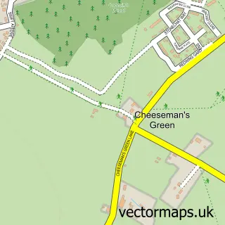
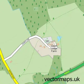
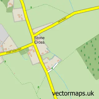
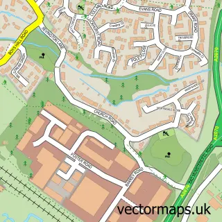
This Stubbs Cross street map is a detailed vector street map covering a 750m x 750m area. Select a larger area to create and download your own vector street map of Stubbs Cross.
The 750-metre map sample for Stubbs Cross covers 101 mapped buildings and approximately 8.7 km of road detail, of which 3 named roads are named. The immediate area includes 1 GP surgery within 2 miles and 4 MOT stations within 2 miles. The wider area around Stubbs Cross features 1 campsite within 2 miles. To create a larger or custom map of Stubbs Cross, the map builder lets you define your own coverage area and download editable SVG, PDF and PNG files.
Create a larger editable map of Stubbs Cross
Choose any area you need and generate a high-quality vector map instantly. Perfect for print, planning, design, business and personal use.

This Stubbs Cross street map in Kent is available as downloadable SVG, PDF and PNG map files, or as a printed map for planning, business, display, education, local information and design work. You can also create a larger custom map area using the map selector.
What this Stubbs Cross map sample shows
Stubbs Cross lies within Kingsnorth Cp parish, part of Kingsnorth Village & Bridgefield ward in the Ashford District (B) local authority area. The postcode geography for this area includes the TN postcode area, the TN23 postcode district and the TN23 3 postcode sector. Residents fall under the Nhs Kent And Medway Integrated Care Board for NHS services.
Local features near Stubbs Cross
Within 2 milesAmenities and services in and around Stubbs Cross.
Administrative and postcode information for Stubbs Cross
Stubbs Cross lies within Kingsnorth Cp parish, part of Kingsnorth Village & Bridgefield ward in the Ashford District (B) local authority area. The postcode geography for this area includes the TN postcode area, the TN23 postcode district and the TN23 3 postcode sector. Residents fall under the Nhs Kent And Medway Integrated Care Board for NHS services.
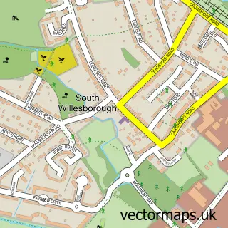
Nearby street map samples around Stubbs Cross
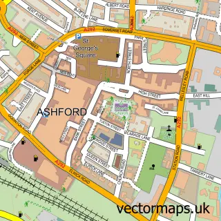


More street maps in Kent
750 metre map area coverage
Boundary, postcode and point of interest information for the 750m x 750m rectangle centred on this sample map.
Boundaries containing map centre
Constituency: Weald of Kent Co Const
County: Kent County
District: Ashford District (B)
Icb: NHS Kent and Medway ICB
Parish: Kingsnorth CP
Police Force: kent
Postcode District: TN26
Postcode Sector: TN26 1
Ward: Kingsnorth Village & Bridgefield Ward
Nearby boundaries intersecting sample
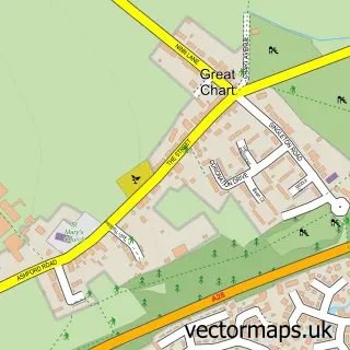
Parish: Great Chart with Singleton CP
Ward: Weald Central Ward
Postcode coverage
POI category counts
Convenience Store: 2
Post Office: 2
Anglican Church: 1
Currency Exchange: 1
Flowers And Gifts Shop: 1
Money Transfer Services: 1
Shipping Center: 1
Sample points of interest
- St Francis of Assisi Mission Hall, Stubbs Cross
- SPAR - Stubbs Cross
- Spar
- Post Office Travel Money
- With Love From You Personalised Gifts
- Western Union
- Stubbs Cross Post Office
- Stubbs Cross Post Office + Stores
- Post Office-Stubbs Cross
Create a larger editable map of Stubbs Cross
This sample shows only a 750 metre area. To create a larger map of Stubbs Cross, use our map builder to choose your own coverage area, add titles and download editable SVG, PDF and PNG files.
Create a custom map of Stubbs Cross