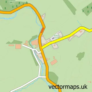
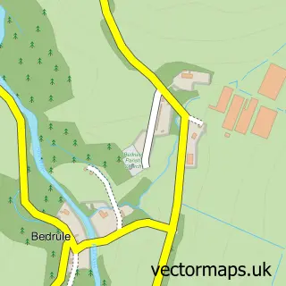
This Hawick street map is a detailed vector street map covering a 750m x 750m area. Select a larger area to create and download your own vector street map of Hawick.
The 750-metre map sample for Hawick covers 294 mapped buildings and approximately 26.6 km of road detail, of which 80 named roads are named. The immediate area includes 2 GP surgeries, 7 pubs and 6 MOT stations within 2 miles. The wider area around Hawick features 7 tourism points of interest, 28 food and drink venues and 2 hotels. To create a larger or custom map of Hawick, the map builder lets you define your own coverage area and download editable SVG, PDF and PNG files.
Create a larger editable map of Hawick
Choose any area you need and generate a high-quality vector map instantly. Perfect for print, planning, design, business and personal use.

This Hawick street map in Roxburgh, Ettrick and Lauderdale is available as downloadable SVG, PDF and PNG map files, or as a printed map for planning, business, display, education, local information and design work. You can also create a larger custom map area using the map selector.
What this Hawick map sample shows
Hawick lies within Scottish Borders parish, part of Hawick And Hermitage ward in the Scottish Borders local authority area. The postcode geography for this area includes the TD postcode area, the TD9 postcode district and the TD9 9 postcode sector. Residents fall under the Borders for NHS services.
Local features near Hawick
Within 2 milesAmenities and services in and around Hawick.
Administrative and postcode information for Hawick
Hawick lies within Scottish Borders parish, part of Hawick And Hermitage ward in the Scottish Borders local authority area. The postcode geography for this area includes the TD postcode area, the TD9 postcode district and the TD9 9 postcode sector. Residents fall under the Borders for NHS services.
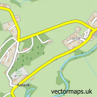
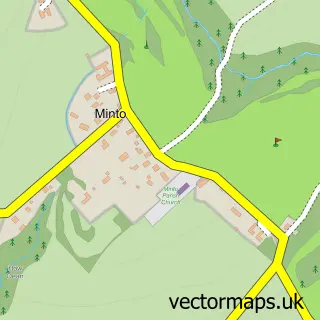
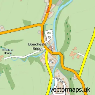
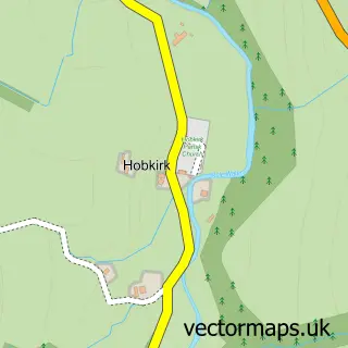
Nearby street map samples around Hawick

More street maps in Roxburgh, Ettrick and Lauderdale
750 metre map area coverage
Boundary, postcode and point of interest information for the 750m x 750m rectangle centred on this sample map.
Boundaries containing map centre
Constituency: Berwickshire, Roxburgh and Selkirk Co Const
District: Scottish Borders
Icb: Borders
Postcode District: TD9
Postcode Sector: TD9 9
Ward: Hawick and Hermitage Ward
Nearby boundaries intersecting sample
Postcode Sector: TD9 0, TD9 7
Ward: Hawick and Denholm Ward
Postcode coverage
POI category counts
Beauty Salon: 16
Clothing Store: 11
Flowers And Gifts Shop: 9
Coffee Shop: 8
Hair Salon: 8
Barber: 7
Charity Organization: 7
Pub: 7
Restaurant: 7
Bar: 6
Sample points of interest
- Douglas Home & Co. Chartered Accountants
- Phoenix Therapies
- Core 3 Partners
- Ettrick Graphics
- Harbro Country Store
- Brodies Restaurant
- A&J Antiques
- Home Basics
- The Borders Antiques & Decorative Interior Centre
- Spectrum Lighting
- Spectrum Sign Shop
- Aitken & Turnbull
Create a larger editable map of Hawick
This sample shows only a 750 metre area. To create a larger map of Hawick, use our map builder to choose your own coverage area, add titles and download editable SVG, PDF and PNG files.
Create a custom map of Hawick